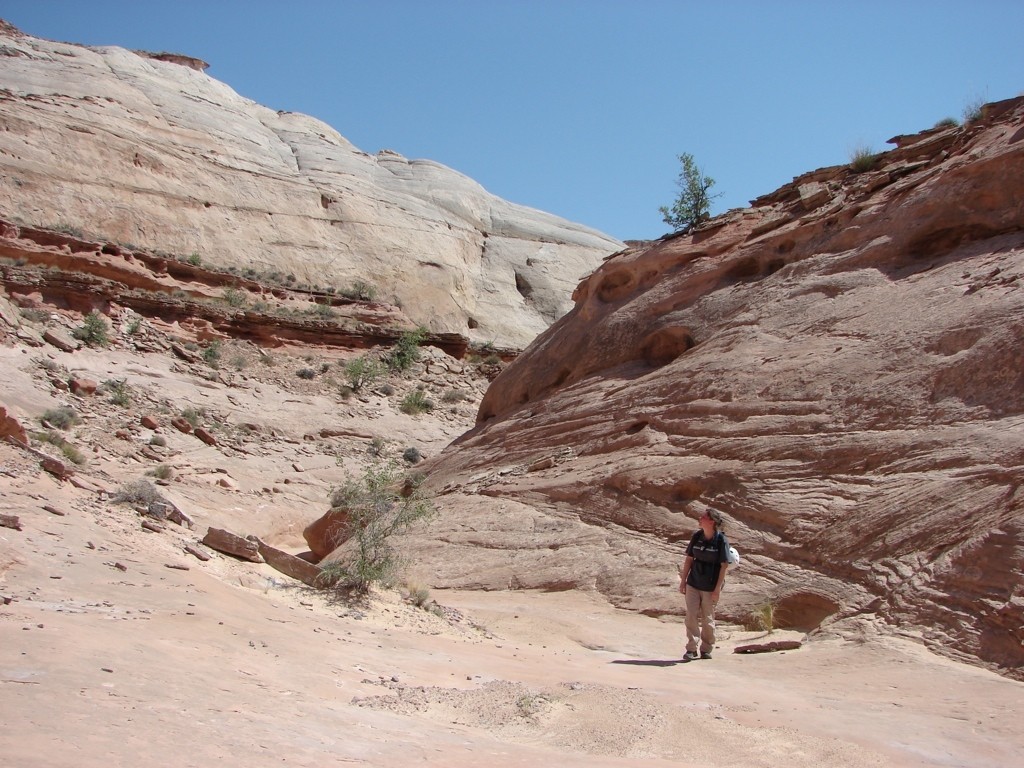
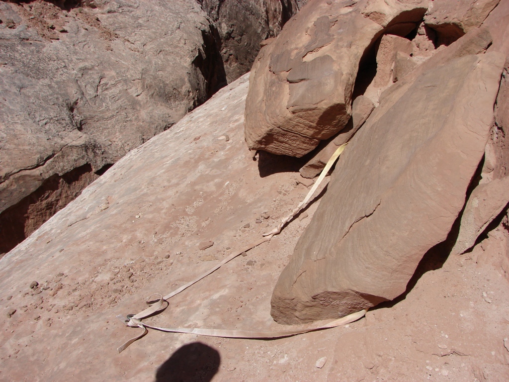
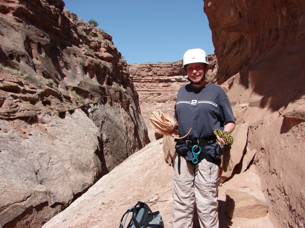
The weekend of 6 May 11, I convinced Tracy that we should go do our first technical canyon. She didn’t really want to do it, so I found a canyon that only had one rappel and was dry. I had to do a lot of scouring online to find a single rappel canyon in the Robber’s Roost or San Rafael area, but I finally found Buck Canyon. We spent Friday night in Green River, and then drove to Buck on Saturday morning. The drive out to the Roost is a long, dusty drive, but this was the first time we had really driven into the Roost on the north side of the Dirty Devil, so it was nice driving around out there. I really want to explore more out there, but I always get worried that all the dust will mess up my truck again (like it has done 4 times already), and it’s going to cost me over $300 the next time the dust messes up my truck. But we drove the hour off the highway on the dirt road to the trailhead. The beginning of the canyon was a steep walk down to the bottom, and the rappel was just 10 minutes or so down canyon. We spent WAY too long prepping for the 30 foot rappel, but we eventually started down. Tracy flew down first with no worries at all. I then had to re-tie the whole system, because the pull cord didn’t reach the bottom. But after spending WAY too much time on it again, I finally made a slow rappel down to the bottom. We could have left the rope and just retrieved it after circling back to the trailhead, but we decided to go ahead and pull it.
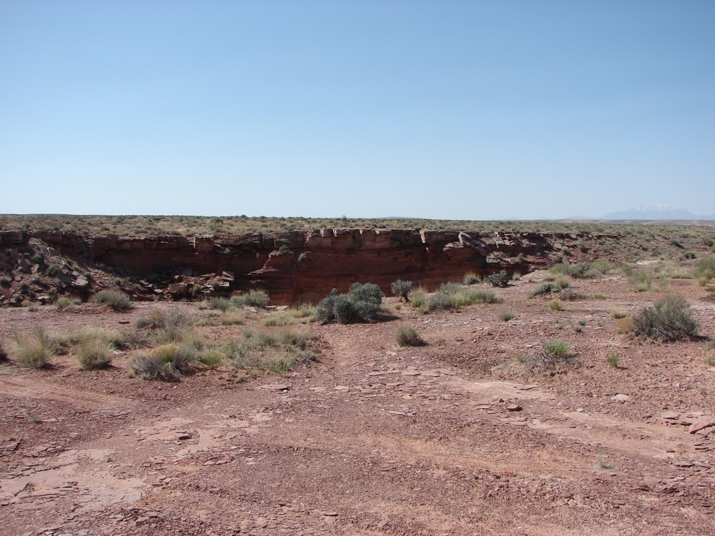
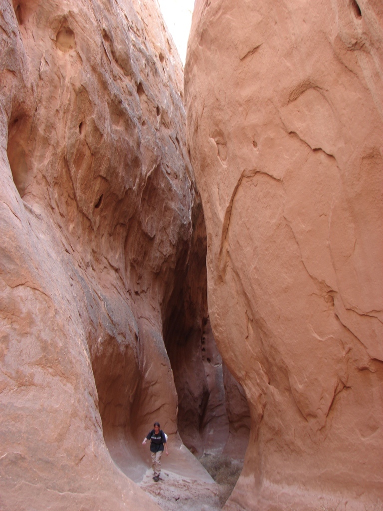
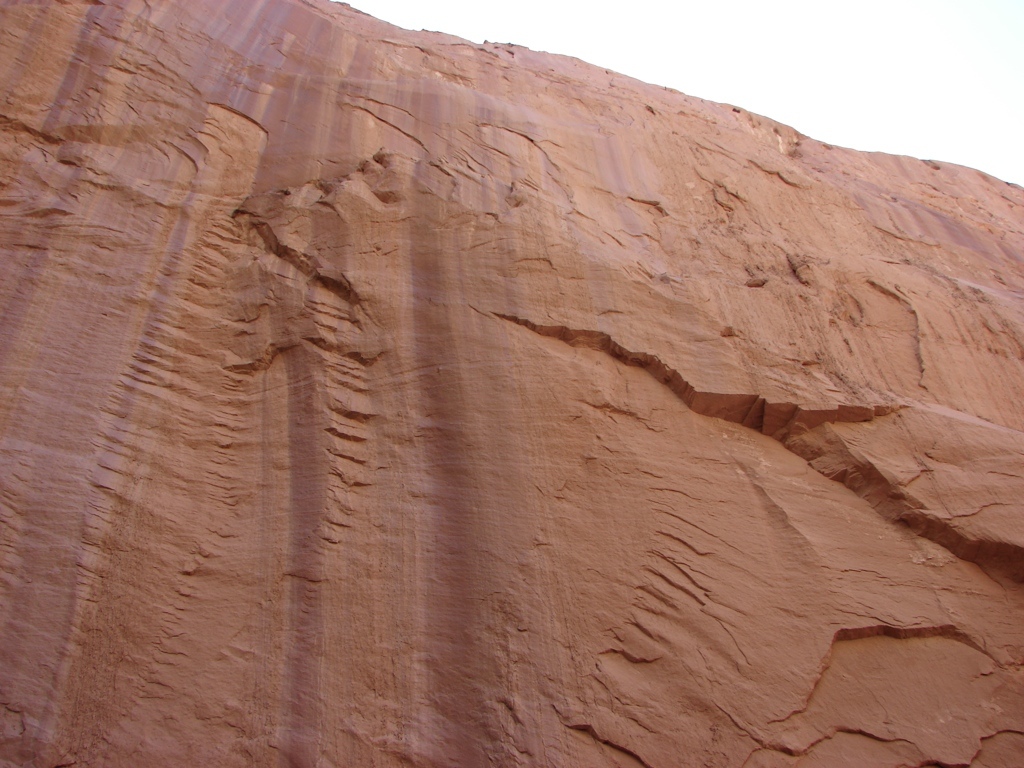
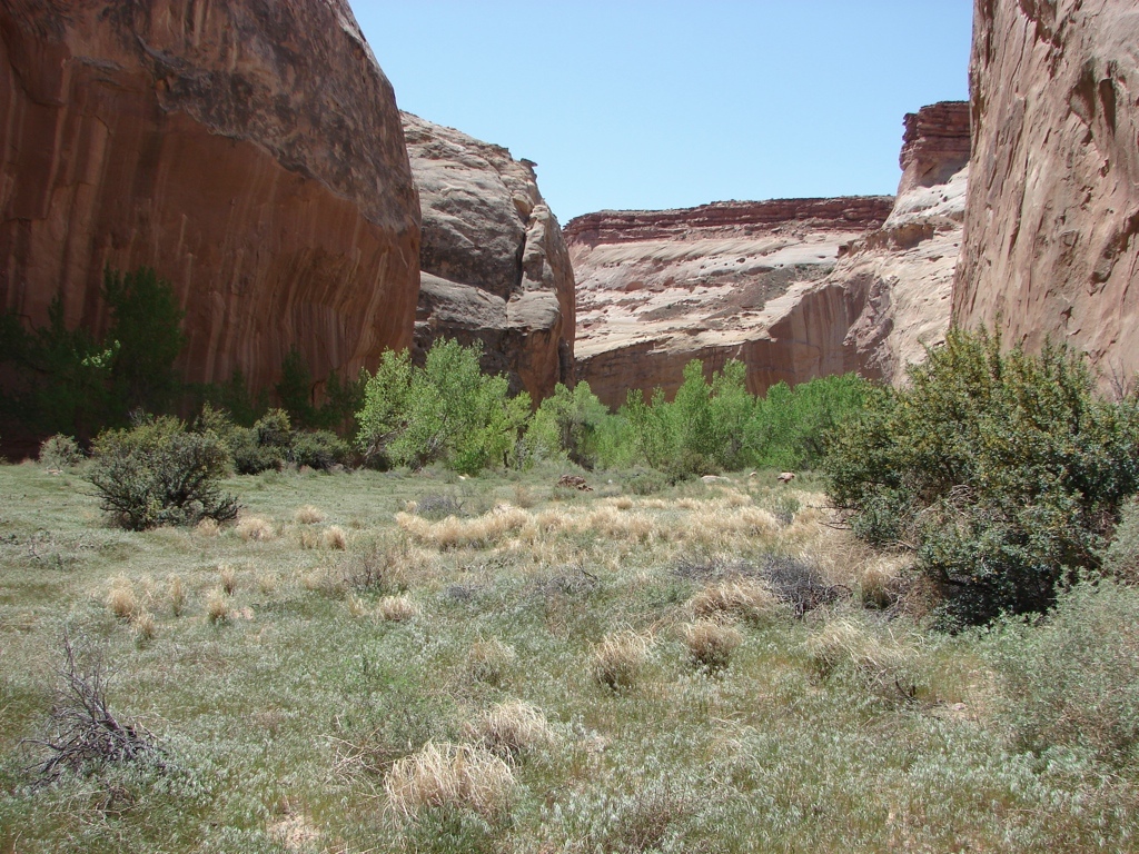
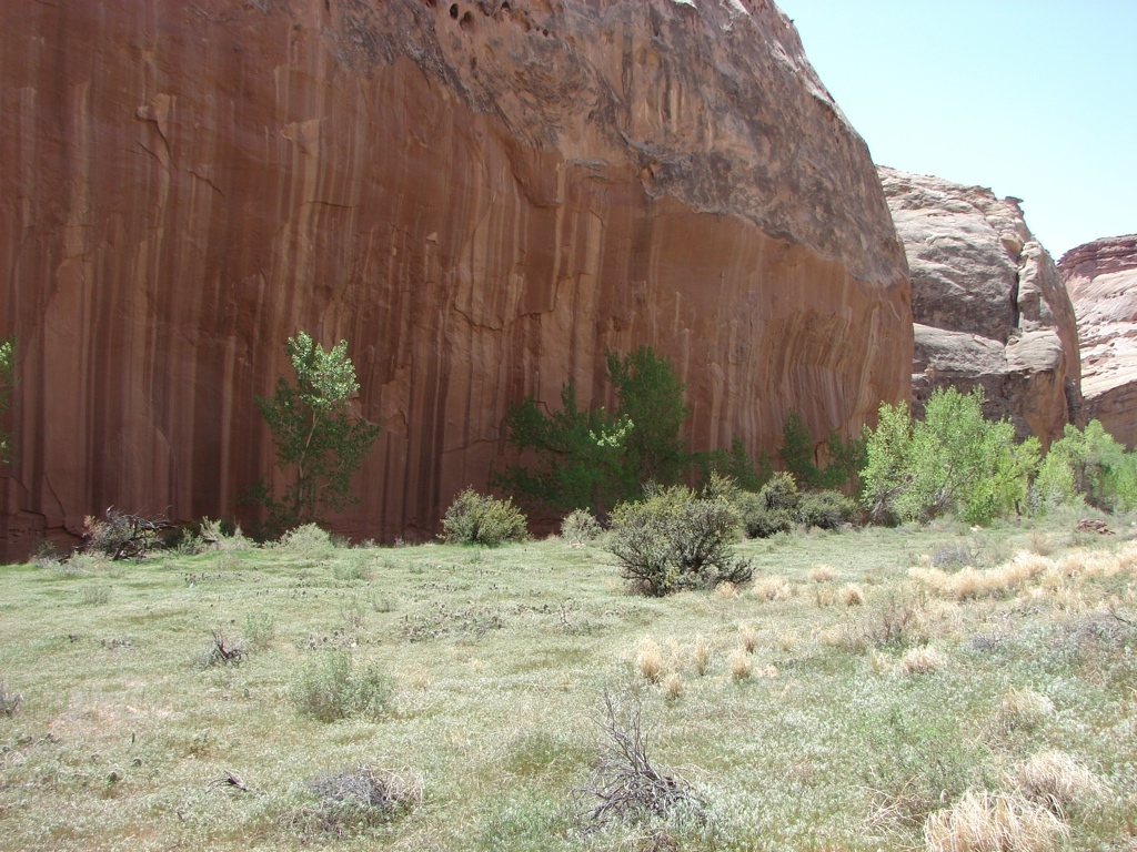
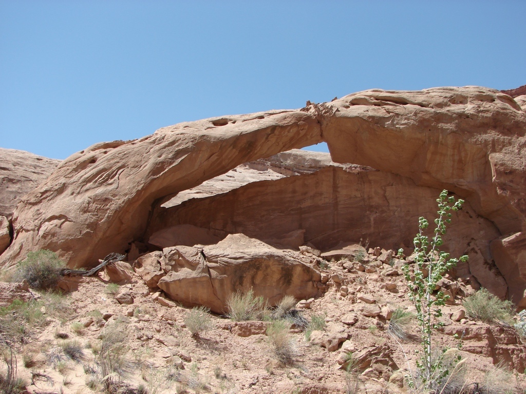
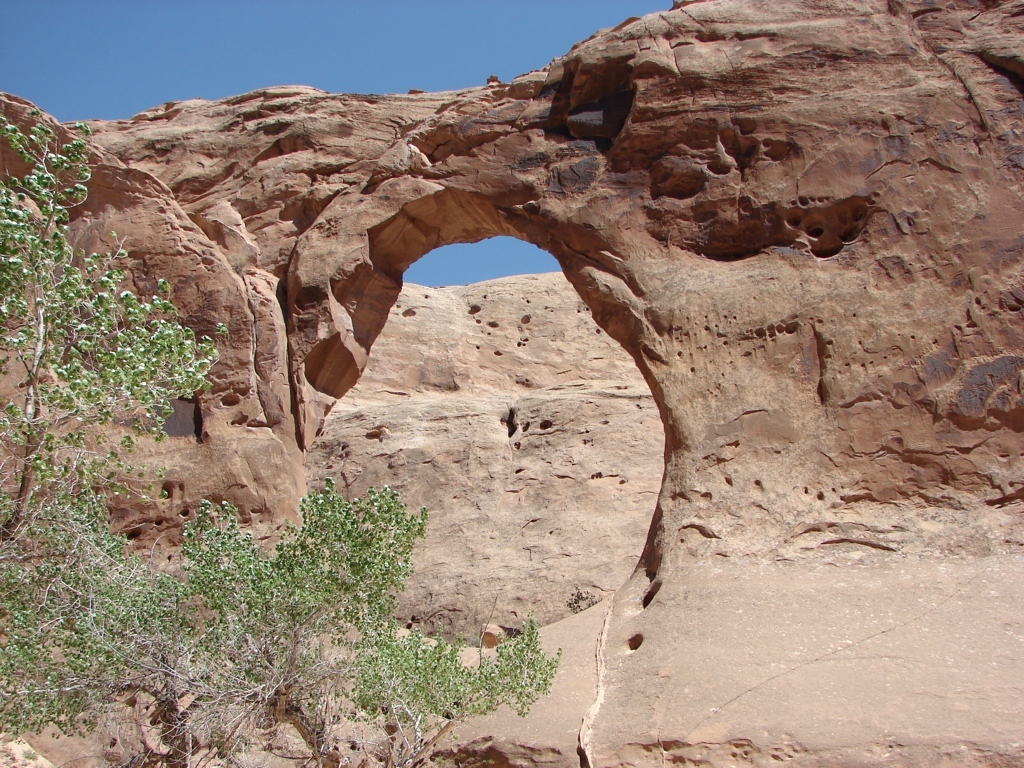
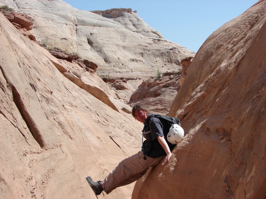
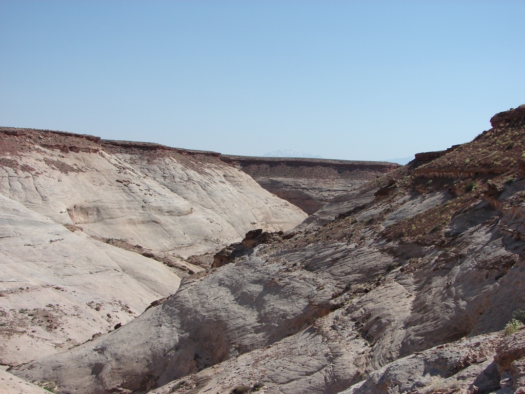
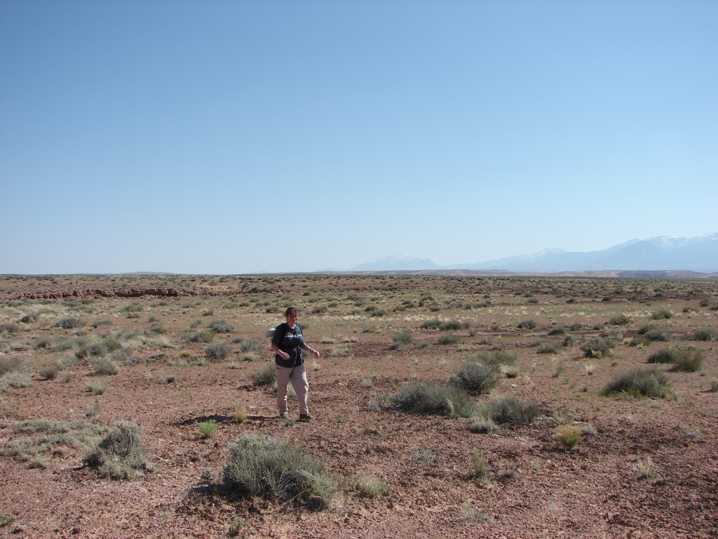
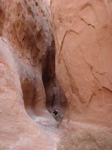 We then continued down canyon where lots of tumbleweeds blocked the canyon, and we continually had to climb over or hike through the tangled mess of prickly tumbleweeds. We also had to make a couple of tough down-climbs through some narrow canyon. The down-climbs were really just tough because they were so tight, and it was hard to get the packs down while also climbing down. But after getting past the 2nd down-climb, we came to the narrows section…all 100 yards…at most…of it. It was a nice section, but it was really short. In fact, I almost didn’t get a picture of it because I wasn’t paying attention! After the narrows, it was a long hike to circle back to the car. The canyon was nice, though, with some high walls, so it wasn’t bad. There was a periodic stream in the canyon, but it wasn’t more than just a trickle. Once we reached the East Fork intersection, we turned up this fork to circle back to the truck. There were two arches near this intersection, so that was nice. Tracy was getting overheated, so we had to take a break in the shade to let her cool down. Then we continued on to the head of the canyon. Towards the exit, we both ran out of water, with about half a mile of desert hiking still to go…as well as the climb out. That made the last half hour a little unpleasant. We found the exit, climbed out, and then started across the desert to beeline back to the truck. There was a shallow canyon about halfway across, and Tracy was overheating again, so we took another break. We continued on after the break and then made our way back to Buck Canyon on the opposite side from the truck. Then we argued about how to get back down the canyon. There was a cairn directly across from the truck, but the descent at that spot didn’t look very safe to me. Plus, I had a waypoint from online that marked the descent spot, and it was about 100 yards up canyon. We went to the waypoint, and I thought that descent looked better than the one marked by the cairn, even though it had an 8 foot drop right at the top off of a thin, crumbled shale overhang. I made the 8 foot drop without much problem, but Tracy couldn’t bring herself to do it. After much cajoling from me and lots of trepidation from her, she finally made the climb with a little help. From there, it was an easy descent down to the canyon bottom, and then 100 yards back to the car. We were glad to get some water out of the truck, but the water was warm, so it didn’t completely do the trick.
I had wanted to stay out in the area overnight and explore, but we were so spent from the long day in the hot desert that we decided to drive to Hanksville to get some dinner and some cold drinks. So we drove to Hanksville and got some food at Stan’s and then we headed back out to camp. We camped at a nice spot just above North Wash, and just had a nice evening. On Sunday we got up and drove out through the Swell to check out the trailhead for Baptist Draw, and then started back home. I tried to take a roundabout way home through the mountains north of I-70, but the snow and mud were too bad, so we ended up just going all the way back up to Price on Hwy 10, and then back home.
This was a fun weekend. The canyon wasn’t great, but we got to cut our teeth on a technical canyon, and I think Tracy has a little more confidence in herself and me now, so hopefully we can keep doing more technical canyons. I also want to check out the Robber’s Roost area some more.


loading map - please wait...