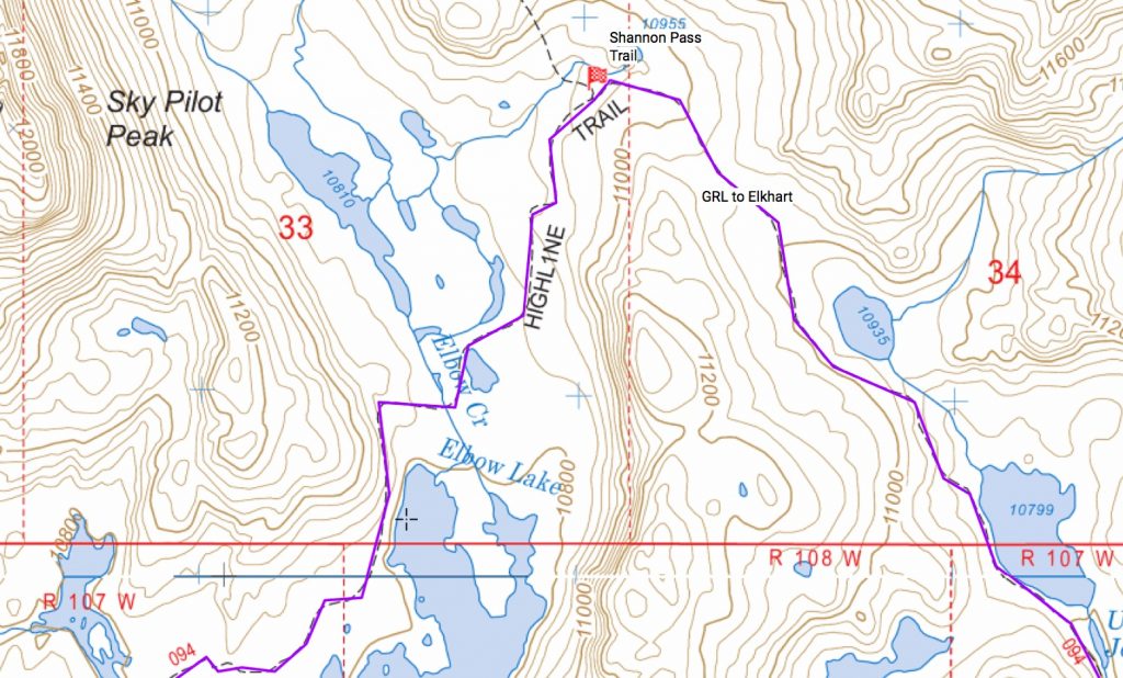
Looking for a free website that allows you to do just about anything you could ever want to do with maps? Caltopo.com is simply the most amazing mapping website I’ve ever found. The list of features is incredible, and I keep finding new things to do with it.
It has many different map types, including improved USGS topo maps, USFS topo maps, National Park visitor maps, USFS visitor maps, and even a few historical maps from the 1800s. It has overlays to show historical fire areas, currently burning fires, weather station location and the current weather readings, snow station locations and current snow readings, water gauge locations and current readings, land management boundaries, and many others. You can map routes and create waypoints, export or import GPX files for use with GPS or phone apps, print maps to PDFs, and save the maps you create.
Honestly, the site is incredible. The more you play with it the more amazed you will be at how powerful and useful it is.
So, for all you map nerds out there, if you haven’t already found CalTopo then check it out.
And since it’s free, consider donating to the guy so that he can continue providing this great service.
I’ve played around a lot with the site, so if you have any questions or problems, reply below and maybe I can help.
Sad day 🙁 he just made it a subscription site.
I agree…I voiced my displeasure with that on his blog. I’m sure I’ll be fine with the free version, and I’ll be surprised if he makes much money off of it. My fear is that he won’t make any money and he’ll stop offering the free version.