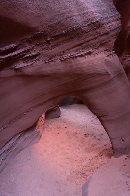
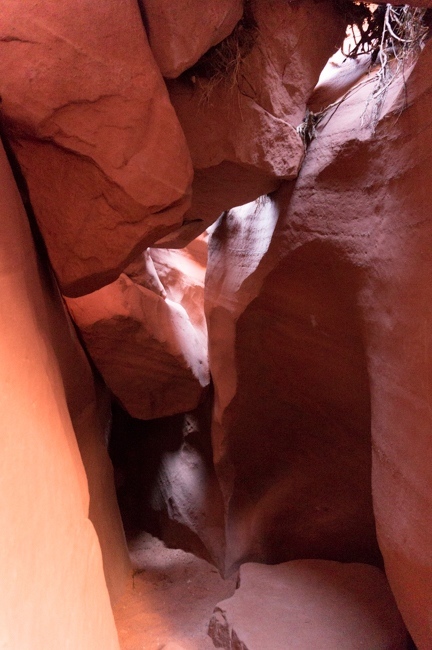
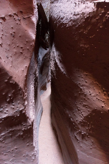
 On April 18, 2013, Chris flew to Salt Lake and he and I drove down to southern Utah to meet Justin for a long weekend of backpacking in Escalante. We met Justin in Capitol Reef, and then pressed on to Escalante, where we stayed in a hotel for the night. We got up early the next morning and drove down to Spooky and Peek-a-boo Canyons. This trailhead is usually overrun with people this time of year, but with the early start, we were the first cars at the trailhead. We made our way down to the gulch, and then started the loop of Peek-a-boo and Spooky. These slots are really pretty, but they had some considerably tighter spots than I remembered…and that makes them fun. We had a lot of fun in the slots, and we didn’t see any other people until we started back up to the trailhead. When we got back to the trailhead, Justin realized he had gotten a flat tire. This forced us to change our plans. My original plan called for us to leave one car at Chimney Rock and to drive the other car to the 40 Mile Ridge Trailhead. Unfortunately, this plan would require Justin to drive his car, on a donut, another 15 or 20 miles on a rocky, dirt road, and then drive 10 miles or so down a small road that has some deep sand spots. I was worried that we would be risking too much by having him drive that much on questionable roads with a donut. So we decided to leave his car where it was and then just take my truck to 40 Mile and just shorten the trip. Unfortunately, we would not be able to climb out from the climb at Jacob Hamblin, so we would need to figure out another way. I had read a trip report where someone climbed up on 40 Mile Ridge from Hurricane Wash to walk back to the trailhead, and I thought that might be possible. If not, I figured we could always backtrack to the trailhead. I even considered just hiking up Stevens Canyon.
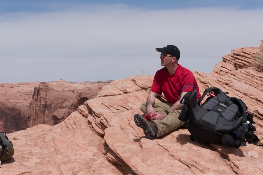
So we left Justin’s car and headed on. At 40 Mile, the trailhead was pretty crowded, but it wasn’t too bad. We hiked across the desert, and then dropped down the Crack in the Wall after enjoying the great view over the Escalante and Stevens Arch. After dropping our packs down the Crack and descending down to Coyote Gulch, we realized that we really didn’t want to have to climb back up to the trailhead…so we would need to do something else. This eliminated the option of going up Stevens, and also eliminated the option of backtracking down Coyote.
So we started up Coyote. Coyote is a very pretty canyon, and the hike was nice. We passed several groups, but the crowds weren’t too bad the first day. We ended up finding a nice campsite above the canyon floor, and just slept out under the stars, as Chris joked about carving another version of Mount Rushmore in the wilds of Coyote Gulch.
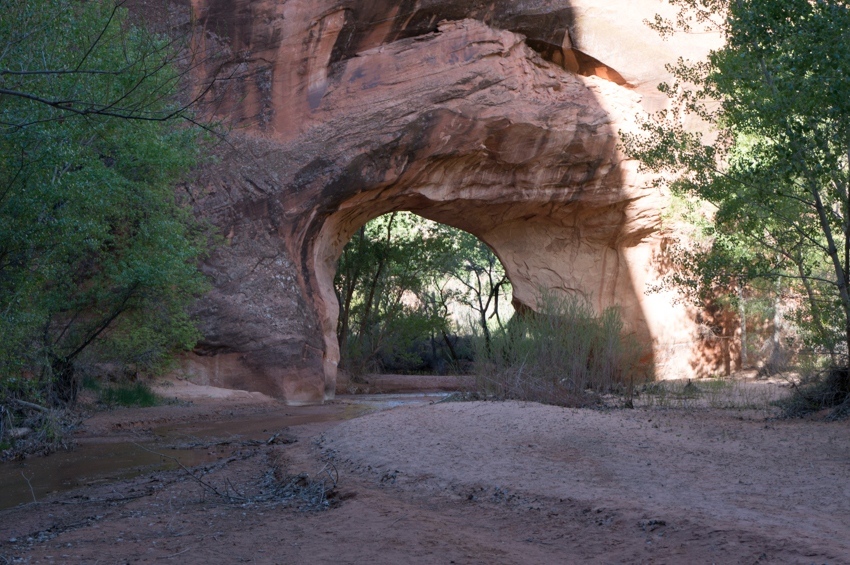
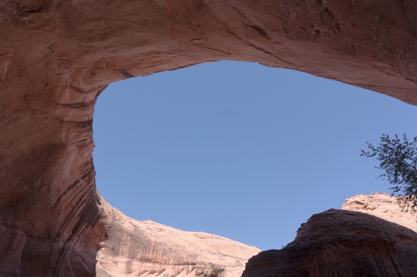
The next morning we continue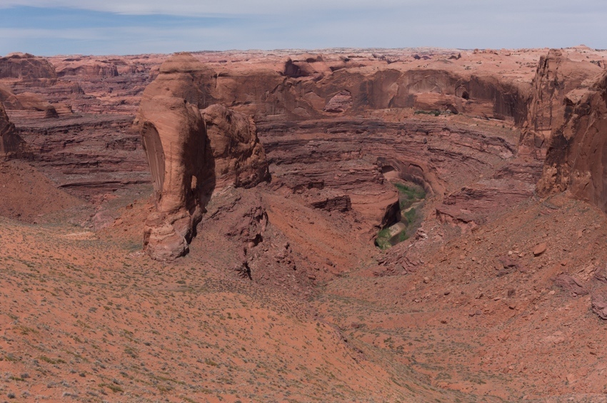 d up canyon. Once we reached Jacob Hamblin Arch, we ran into the crowds. We really hadn’t seen very many people before this, but at JH there were several large groups of people, including one family climbing up the boy scout exit with some very young children…that scared me. But we continued past JH, which was new territory for me. The canyon up from JH has some really nice, big alcoves, and those were really cool. We then made it to the confluence of Hurricane Wash, and we turned up Hurricane.
We continued through the lush vegetation in lower Hurricane before the canyon opened up and became exposed and hot. We took a break in the shade of a canyon wall where Tracy and I had once camped in Hurricane Wash, and then continued up canyon. A mile or two before getting back to Hole in the Rock Road, we climbed out of Hurricane up onto the desert floor and walked across the desert up Fortymile Ridge. We could see the water tank trailhead for most of the walk, but it was a long way away, and took us a couple of hours to reach. I didn’t think the hike up 40 mile was too bad, but Justin and Chris said they were zapped pretty good by the desert sun. Once back on the 40 mile ridge road, we were soon offered a ride by some college students heading out for a long trip in Stevens Canyon. I accepted the ride, as it saved us at least an hour of walking the road.
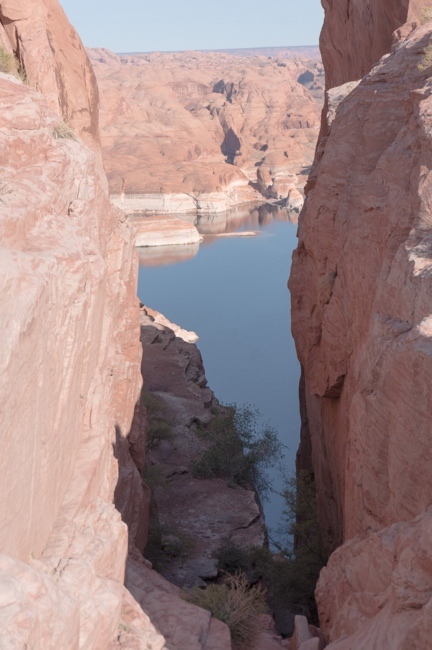
After picking Justin and Chris up, we drove back to Hole in the Rock Road, and then drove all the way out to Hole in the Rock. I had never been past 40 Mile, so it was nice driving the rest of the road. I had read that the road got pretty rough towards the end, but the road was in great shape. We hiked around some at the end of the road, and enjoyed the views over Lake Powell. We then found a nice campsite, and again just slept under the stars on the slickrock. The next day we got up and headed back home.
This was a great trip. Coyote can get kind of crowded, but most of the people we saw were around Jacob Hamblin Arch, so it wasn’t too bad. It was also nice finding a creative way to get back to the car when we had planned on having a shuttle car. And, as always, it’s fun taking people to the desert canyons for their first time…it’s an amazing place.


[mapsmarker marker=”10″]