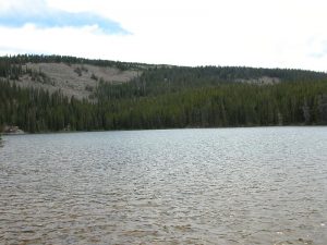
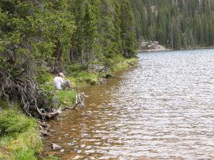
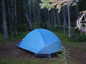
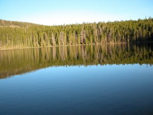
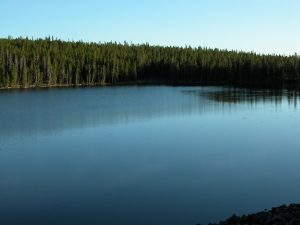
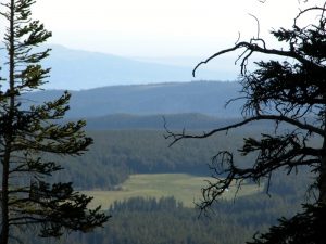
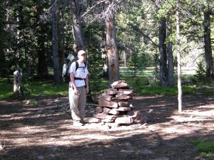
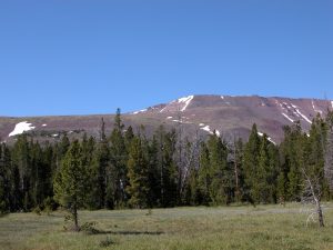
The weekend of 23 Jun 07, Tracy and I backpacked up to Kabell Lake in the High Uintas Wilderness. The trail was only about 5 miles up to the lake with only 1500 feet or so of elevation gain, so it wasn’t too bad. We didn’t see anybody at all on the trail until about half a mile from the lake, where there were some guys camping. We had the whole lake to ourselves, and that was really nice. The mosquitoes were pretty bad, but our handy Thermacell kept them at bay…that thing is really invaluable. Even though the printed map only showed one lake, my GPS map showed a second lake about 1/4 mile away. So we headed cross country to find that lake. It probably used to be a lake, but now it was an open field. So we just headed back and enjoyed the evening. I got up in the morning and hiked up the ridge above the lake. I was hiking cross-country, but on my way back down I found a cairned path…everywhere you go, someone has been there before. Then we decided to hike a loop back out by hiking cross country back to the Kabell Lake Trail and then to the Burnt Ridge Trail. Well, we headed out cross country to the Kabell Lake Trail, and hit it with no problem after about half a mile. Then we made it to the Burnt Ridge Trail, and started down it. That trail was a little tough to keep up with at times, but for awhile we didn’t have any problems. Then, as the trail was going through a small field, we lost the path and couldn’t find it again. Despite the fact the trail was mapped on my GPS, it just wasn’t where the GPS said it would be. So, we ended up hiking for an unplanned 3-4 miles cross country before intersecting back up with the trail. That was actually a lot of fun, even though it was a little disconcerting to think that if we got hurt or something then they’d never find us. But with the GPS and some knowledge on how to use it correctly, we didn’t have any problems. We eventually hooked back up with the trail and made it back out. The Burnt Ridge Trail wasn’t very interesting, though, and the Kabell Lake Trail was definitely better.
[mapsmarker marker=”69″]
