Over the long weekend of September 3, 2010, Tracy and I made our third annual trip to Colorado to climb a 14er. This year we decided to do San Luis Peak. The hike up to San Luis is longer than most 14ers, so we thought there would be fewer people than some of the other 14ers since it was Labor Day weekend. We spent Friday night in Montrose, and then we headed into Gunnison on Saturday morning. The plan was to backpack in about 4 miles on Saturday night, and then summit early on Sunday, so we were in no big hurry on Saturday to hit the trail. So once we got to Gunnison, we drove up to Taylor Park Reservoir up toward Crested Butte. I had forgotten that we had actually driven up to the lake last year, and then we had driven over Cottonwood Pass to get down to Buena Vista. Once we got to the lake, though, I remembered being there. I think I’m getting old, though…I never forget somewhere we’ve been. I’m going to assume I had slept while we drove to the lake last year, though, because I recognized it as soon as we got there! Since we had already been over Cottonwood Pass, though, and we didn’t want to head that direction, we headed up over Cumberland Pass and down into Ohio City. The drive was okay…not as pretty as Cottonwood Pass was, but it was nice. Down in Ohio City, we hit the highway again and headed back into Gunnison for some lunch.
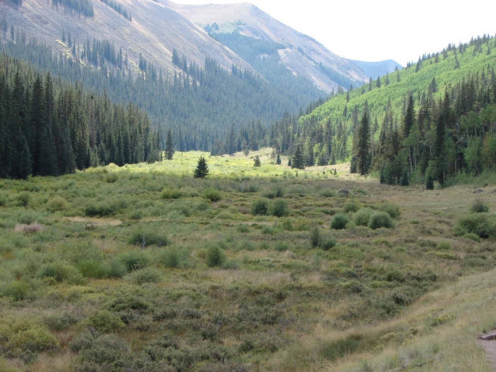
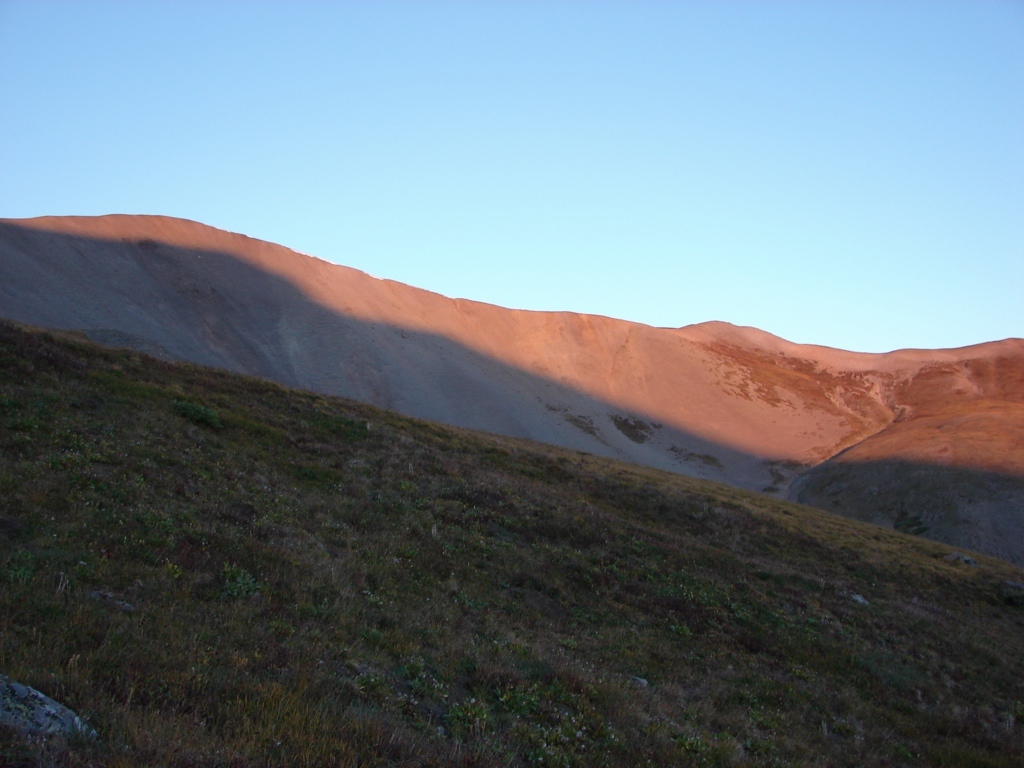
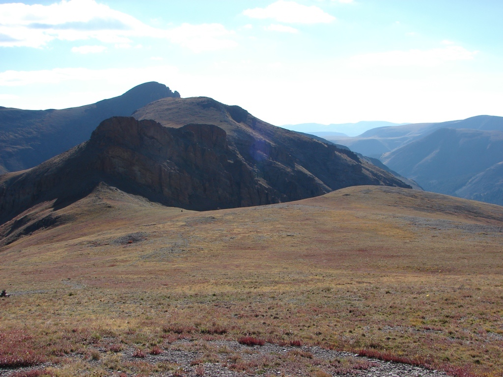
After getting lunch in Gunnison, we headed to the Stewart Creek Trailhead to start the hike. The road to the trailhead was fine, and we started about 3 pm. There were only four other cars at the trailhead, so we were feeling good about the choice. We hiked in almost 4 miles, and set up camp at a nice site overlooking Organ Mountain just before tree line. We saw 2 or 3 other campsites, but for the most part we had the trail to ourselves.
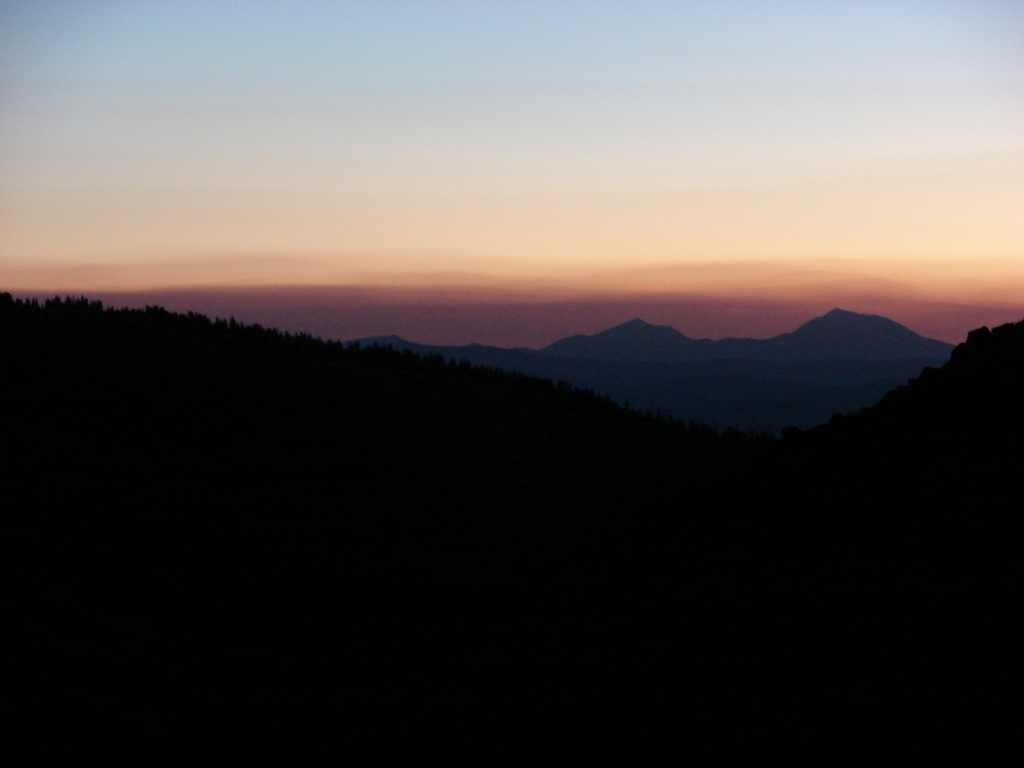
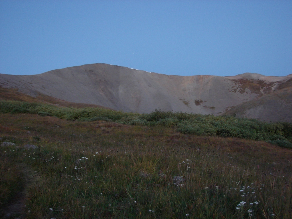
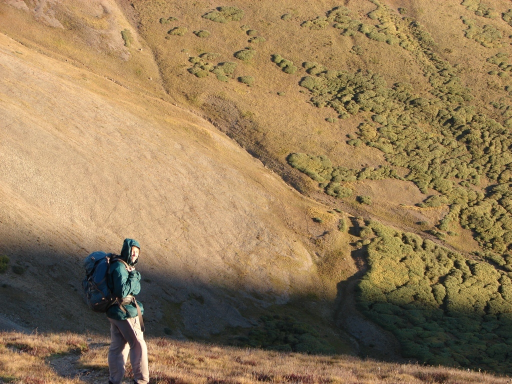
We planned to get up at 5:15 am, so I took a Tylenol PM to help me go to sleep. That was a bad idea. I knew it would make me groggy the next day, but I figured the walking would work it out of my system. It didn’t. We hit the trail in the dark about 5:30 and started up. The sky was clear, and we enjoyed watching Jupiter set over San Luis, as well as the rising waxing crescent moon. We hiked about 30 minutes before it started getting light enough to hike without the headlamps. The trail wasn’t dangerous, though, so it was fine. But my grogginess was making it hard to move my legs. I was dragging for the first couple of hours. Once we made it to the saddle of the mountain, I mostly shook off the grogginess and the last hour of the climb was considerably better. The last 20 minutes, though, were in howling winds. The wind was really bad, and Tracy got pretty scared. She didn’t really say anything at the time, but later she said the wind had spooked her pretty badly.
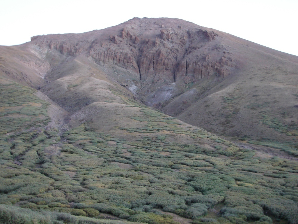
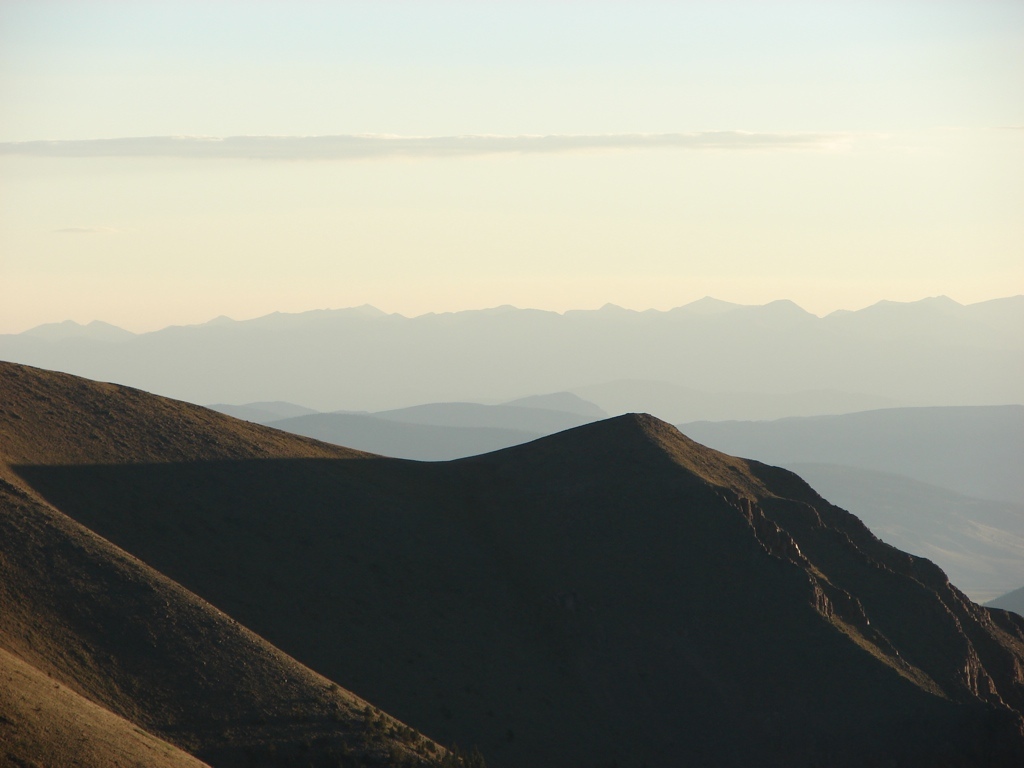
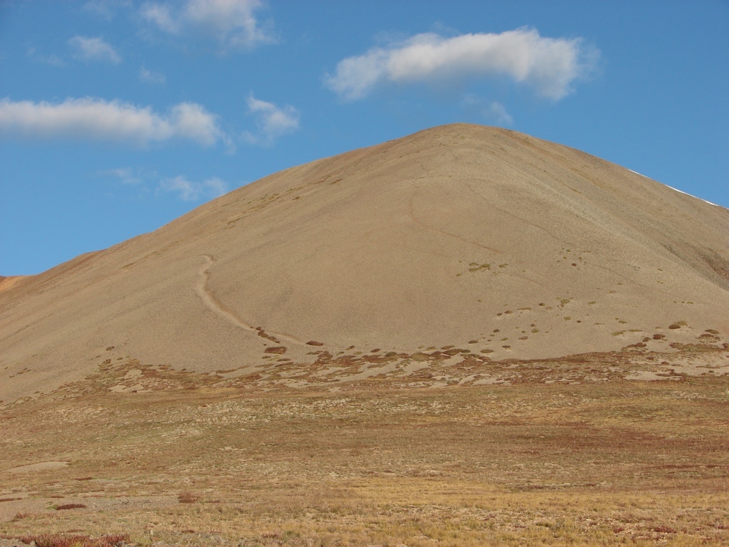
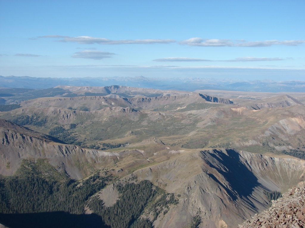
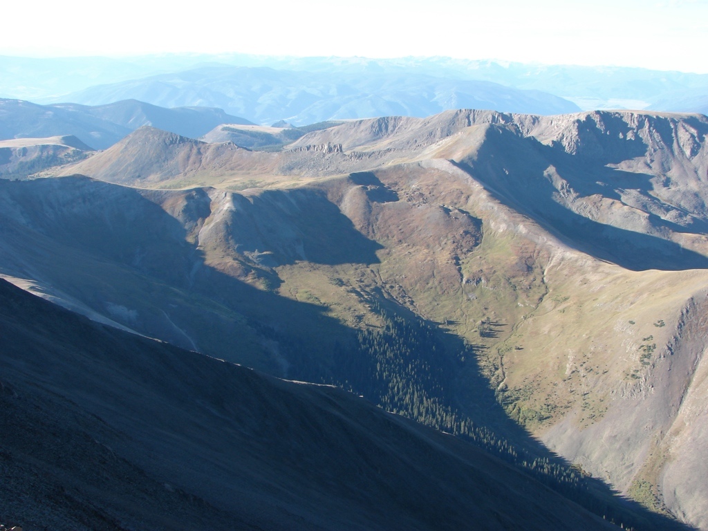
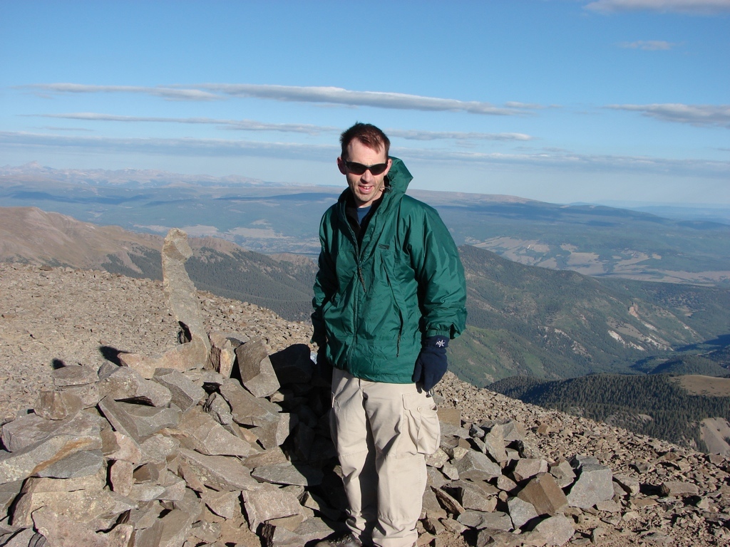
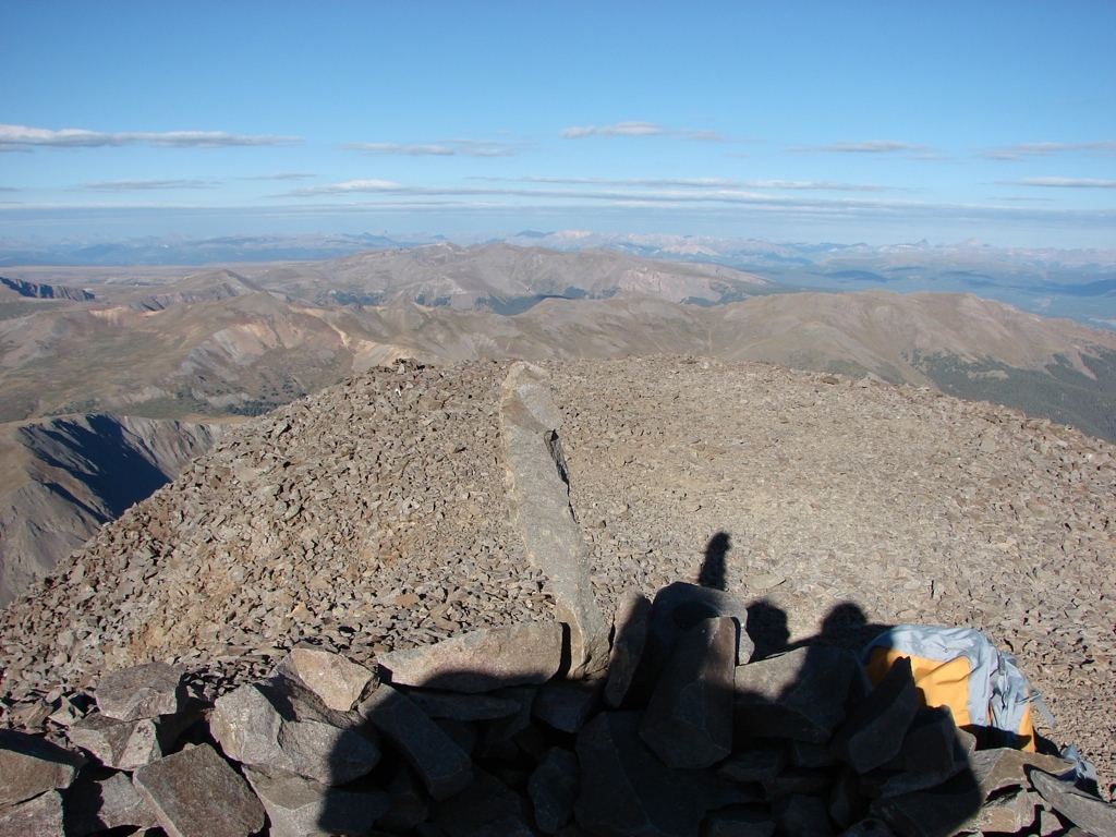
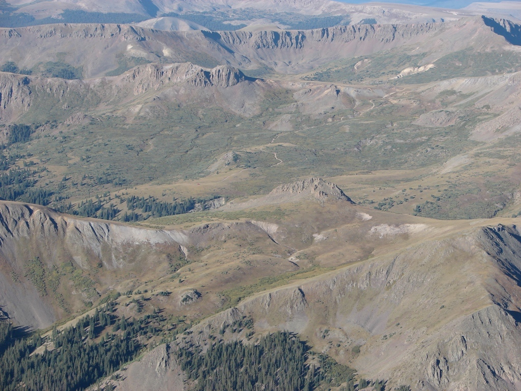
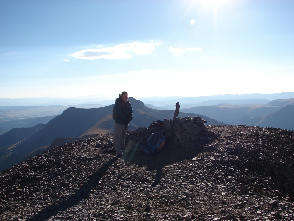
But the 14,014 foot summit was an easy class 1 hike, so besides the Tylenol PM and the wind, the hike was uneventful. The best part: we had the summit completely to ourselves. We didn’t see a single person until we started our descent, and we only saw 6 groups the whole day. That’s hard to beat on Labor Day on a 14er in Colorado. The hike was also really nice, and the La Garita Wilderness was really nice.
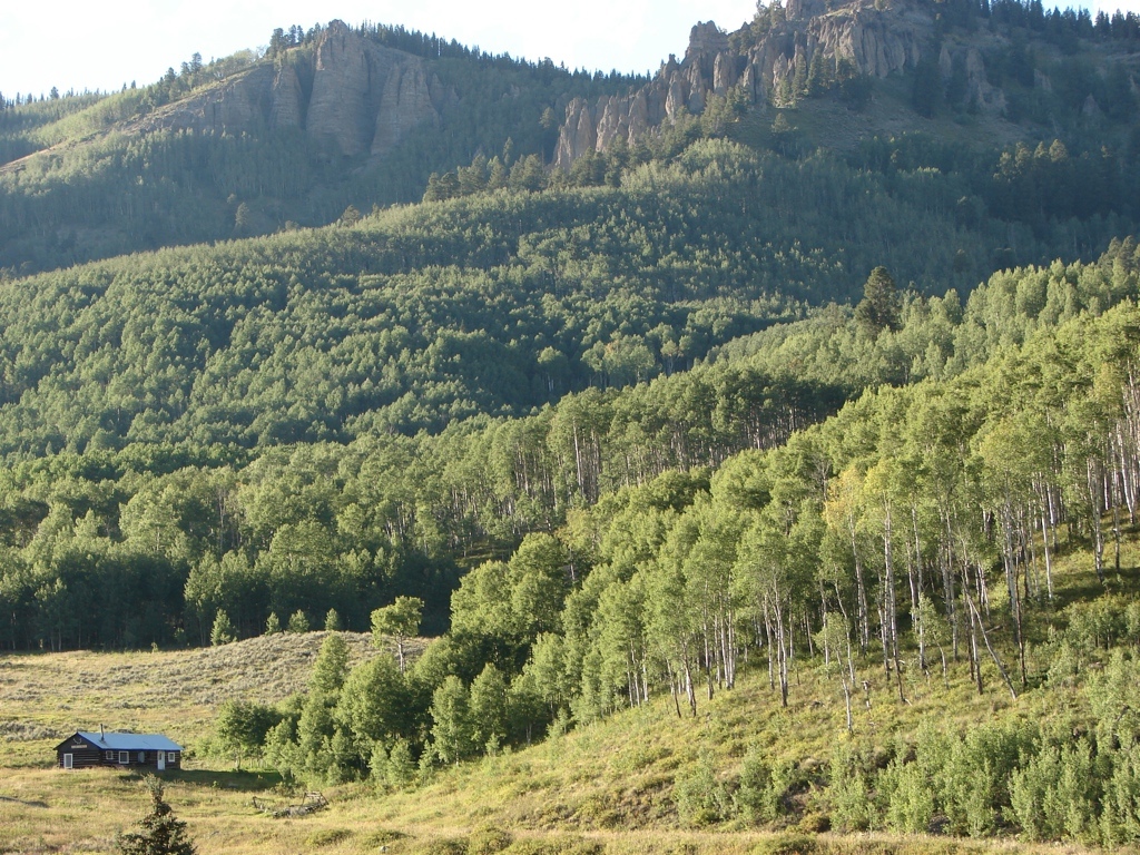
We made it back to the car about 1 pm, and then we headed back to Gunnison. We got a hotel in Gunnison, and then drove up Highway 50 to Monarch, just because we hadn’t been over that pass in years. Then we drove back to Gunnison and drove up to Mill Creek in the West Elks. That was still really nice up there, and it made me appreciate Gunnison all over again. We spent the night in Gunnison, and the next day we took Highway 92 and 133 to get back home. We had never driven these roads, so we just wanted to check them out. Actually, I realized once we got past Hotchkiss that we had driven this road the year before to go on our hike in the northern end of the West Elk Wilderness. I had forgotten that, too. The Cottonwood Pass drive and the drive on Hwy 133 happened on the same trip…somehow I just blocked most of that trip out of my head, evidently! I did recognize the stretch of road we had driven last year when we got to it, but I forgot about it until I saw it. Oh well. Anyway, that drive took forever, but it did have lots of Aspen groves along it. Eventually, though, we hit the interstate in Glenwood Springs, and then we headed home.
It was great to summit our third 14er. I guess it’s quickly becoming an annual tradition.
Photos


[mapsmarker marker=”96″]