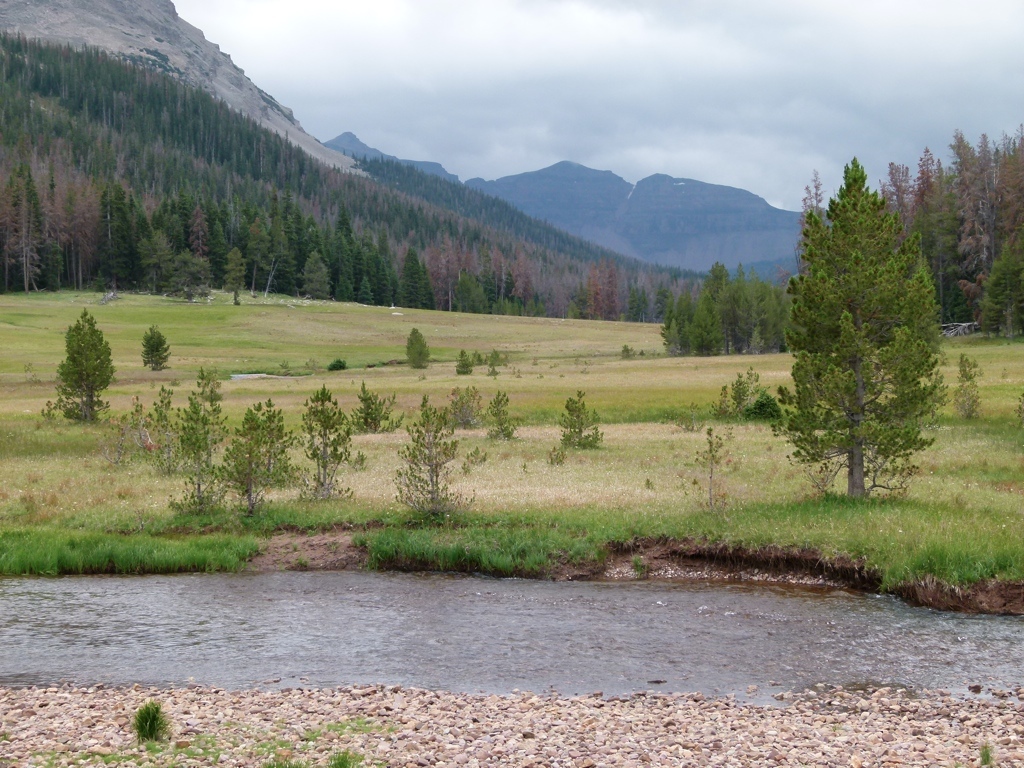
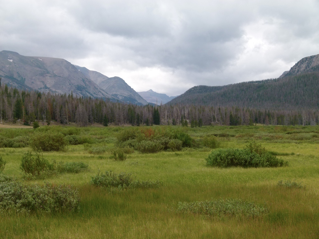
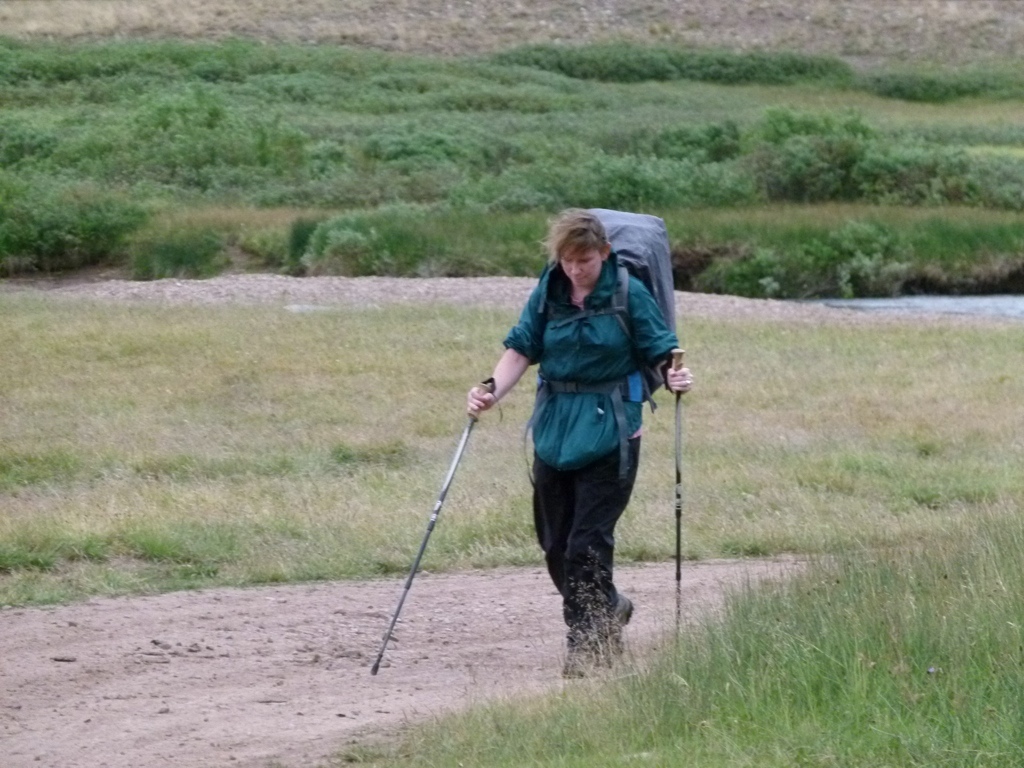
On 14 Jul 12, we headed to West Fork Blacks Fork for a flat backpack for Tracy’s healing ankle. Somehow we had never hiked here, and this trail was really, really pretty. The forecast was calling for rain and cold, but we decided we would try it anyway. The hike in was flat and the trail was wide, so it was really nice. About 3 miles in, the trail crossed the river, but we were able to cross without getting too wet. We continued about half a mile across the meadow along the river until the trail crossed back on our side. This also put us into the wilderness. The trail was boggy through the meadow, but not too bad. From there, the trail became harder to follow as it headed into Buck Pasture. Once in Buck Pasture, it began raining more, the wind really picked up, and it got cold. Tracy’s ankle also started hurting. So we debated camping where we were, but it was only 2:30, and it was going to get much colder. After enjoying the view for half an hour or so we decided to head back. So we made the 4.5 mile hike back and ended up back at the car after 9 miles of backpacking. Good times. We also ran into a huge herd of sheep on the trail, and learned how easy it was to make sheep move. We debated camping at the car, but it was raining and cold still, so we decided to head home.
Even though we didn’t camp, this was a really pretty trail, and I would like to do it again and try to hike all the way to Dead Horse Lake.


[mapsmarker marker=”22″]