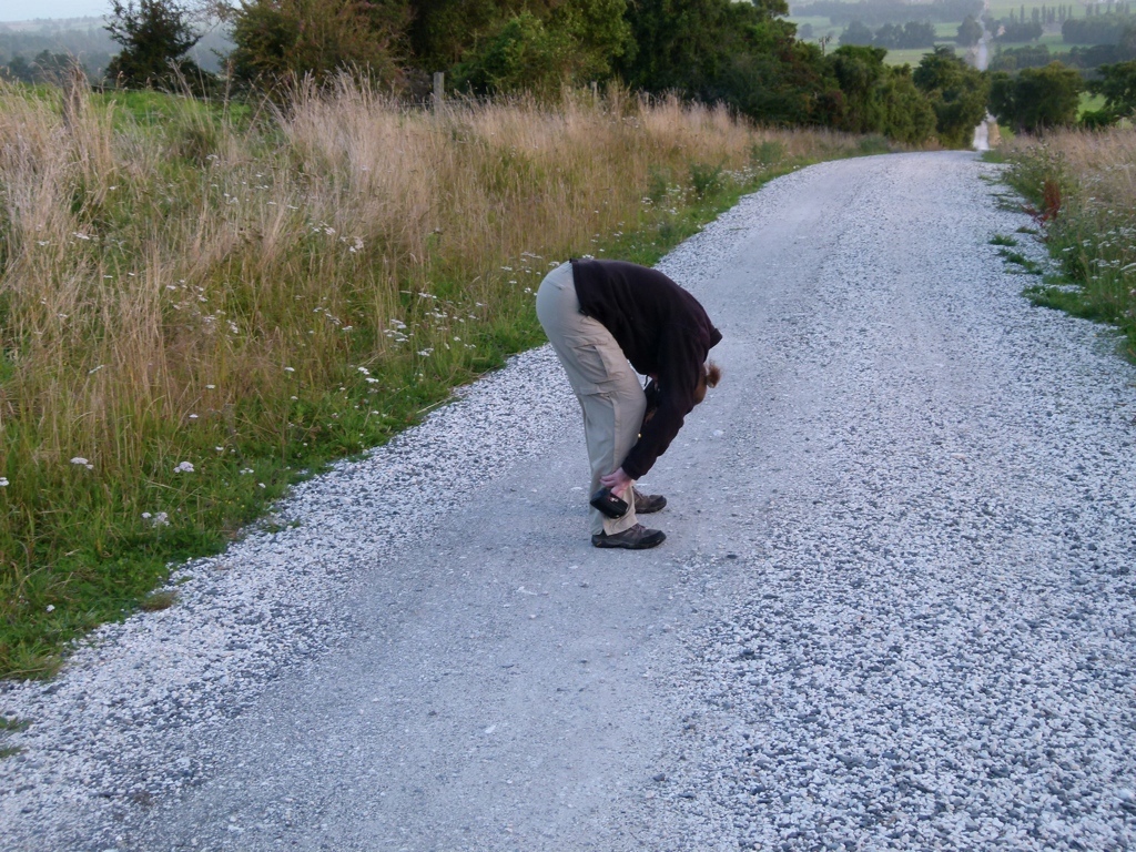
From 24 Feb 12 to 7 Mar 12, Tracy and I took a vacation to the wonderful South Island of New Zealand. We flew into Christchurch, rented a car, and then headed out. I was apprehensive about my first time driving on the left side of the road, but nobody died. The first day was a little touch and go, though, because I kept hugging way over on the left side of the road…I think I was scared of getting in a head-on crash, so I tried to stay away from the middle of the road! But after the first day, I pretty much got the hang of it. It was still pretty common for me to turn on the windshield wipers when trying to turn on the blinker, but that was about the worst of it. I was glad I had a New Zealand GPS app on my iPhone, though…that worked great and kept me from having to worry about navigating. But, honestly, most of the roads were two lane country roads with very little traffic, so there wasn’t much to worry about.
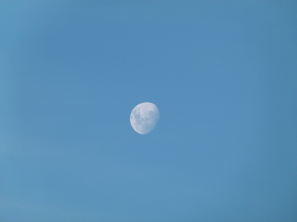
 We drove the first day all the way to Twizel. The drive was beautiful, and we quickly learned how great New Zealand was. Once we got to Twizel, we bought groceries for our three day backpacking trip, which included several foods we soon learned we didn’t enjoy. In fact, we ended up not being very big fans of New Zealand food at all. We walked around the small town some, then went back to the hotel for a quick nap about 7:30 pm. We woke up five hours later with our clothes and shoes still on…evidently, the 26 hour flight had really wiped us out. We changed and went back to sleep. I woke up around 4 am after about 8 hours of sleep, and went outside to check out the southern hemisphere night sky. I guess I had expected that the entire sky would be unrecognizable because all of the constellations would be different. The first thing I saw, though, was Orion. But it looked weird. I was surprised to see a constellation I knew, but even more confused when I realized it was upside down. I spent an hour trying to figure that out but couldn’t figure out what was going on. The Milky Way was considerably brighter than at home, which was cool. I also saw the Space Station, which was really cool. And, of course, there were lots of constellations I didn’t recognize. I saw Alpha Centauri, the closest star to our solar system, and the Southern Cross for the first time. And, yes, I had the Crosby, Stills and Nash song in my head the whole time! When I got back to the room I got online and found why Orion was upside down: because *I* was upside down! Since I usually saw Orion from the northern hemisphere, now I was facing “downward” on the planet, so the sky was upside down. Super cool!
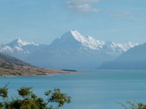
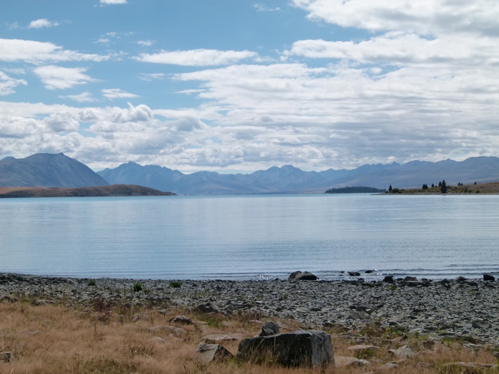
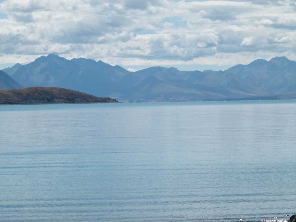
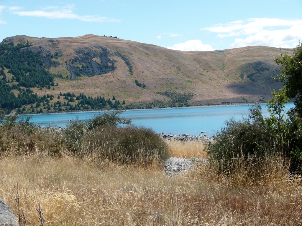
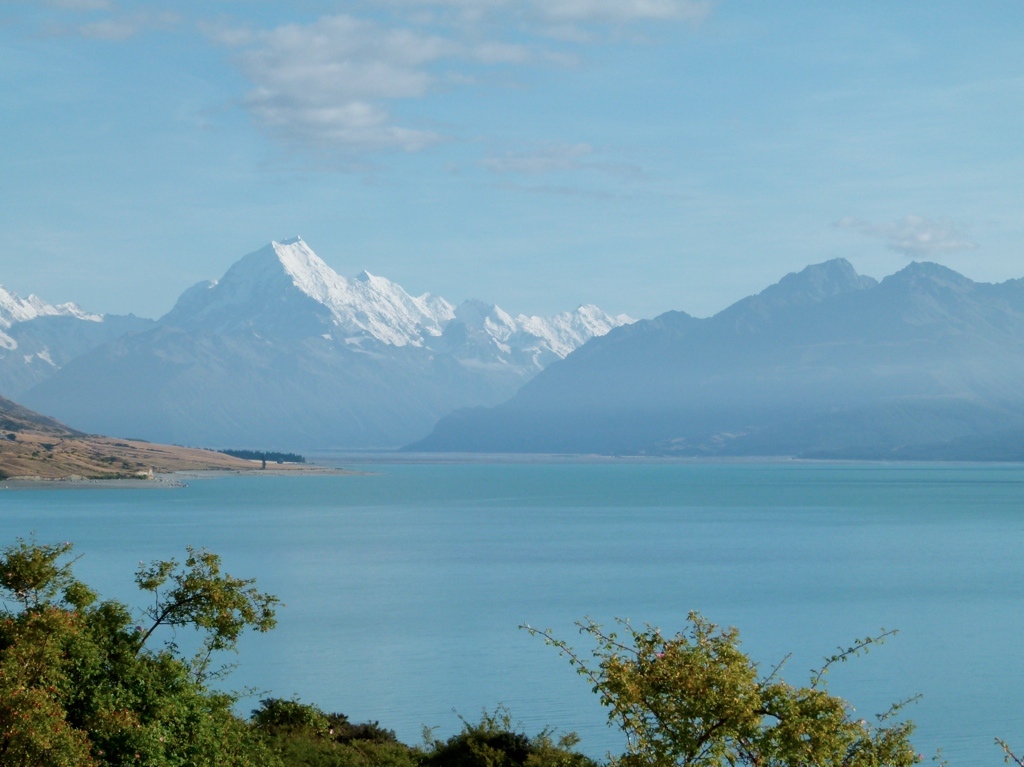
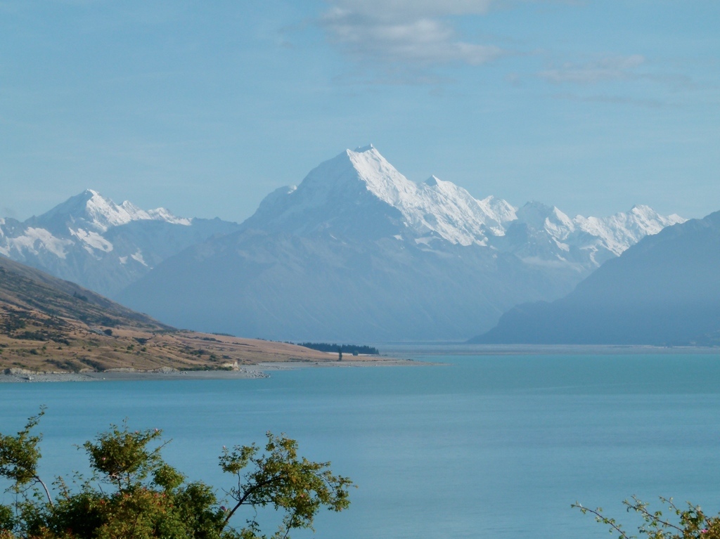
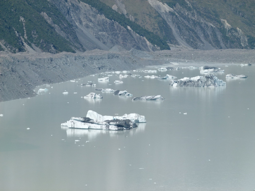
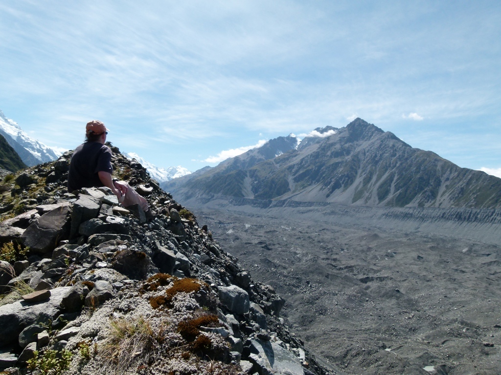
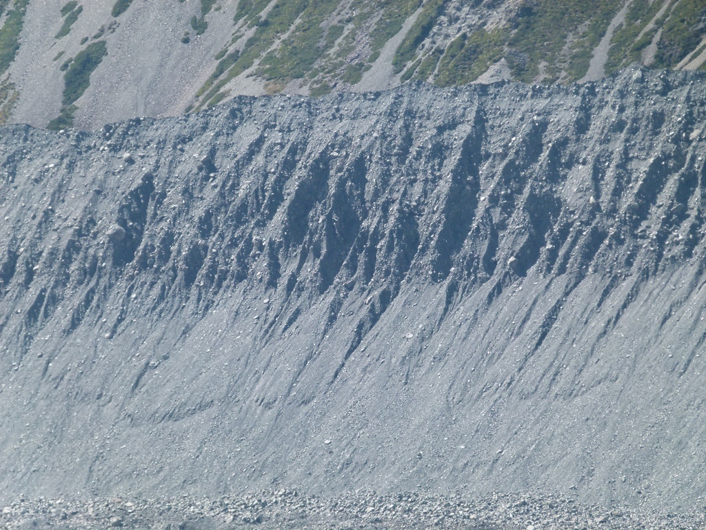
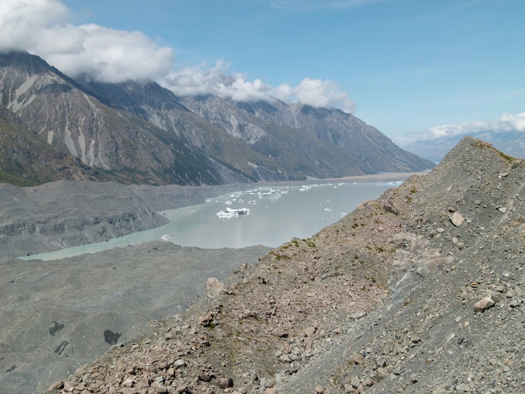
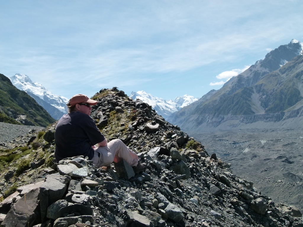
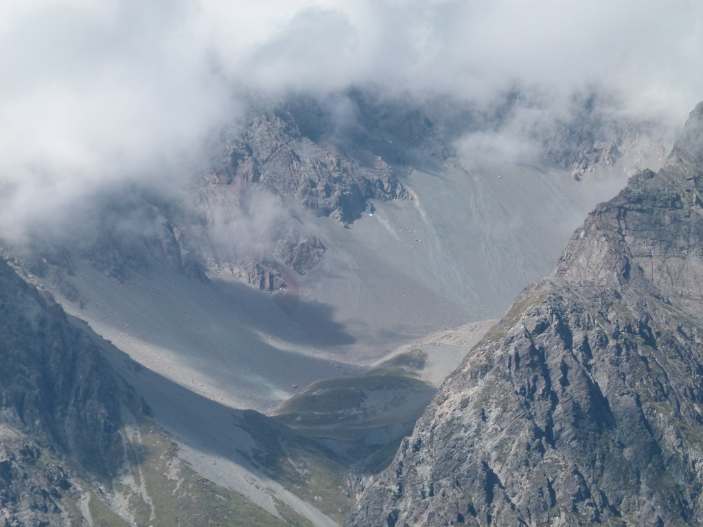
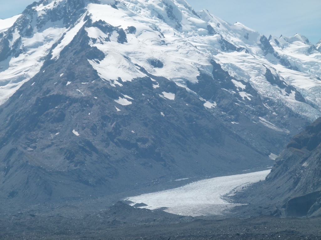
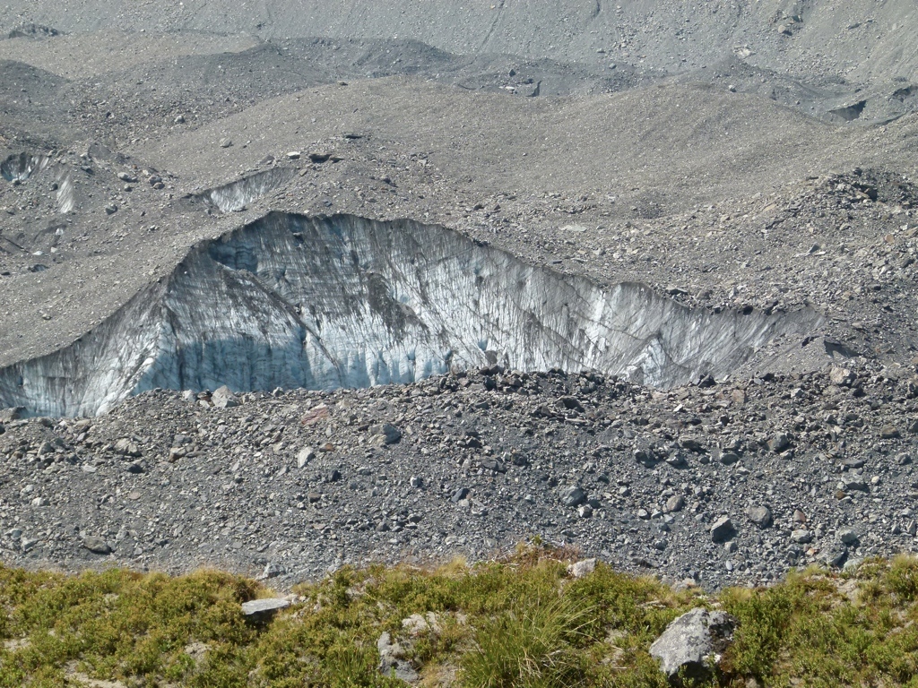
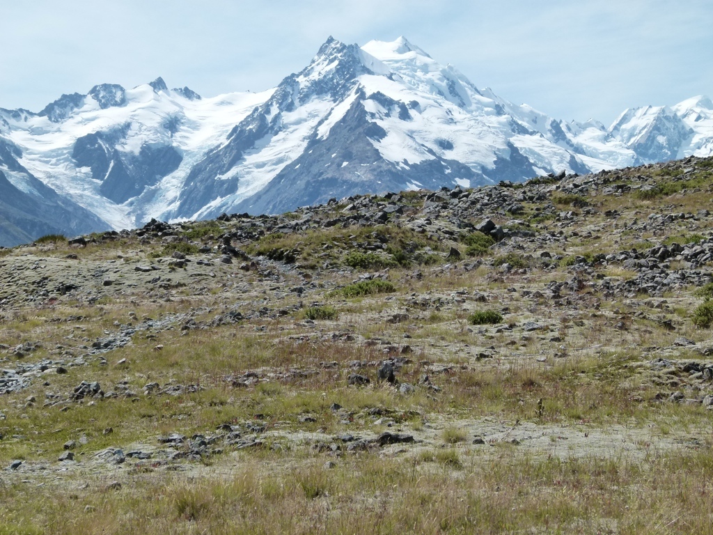
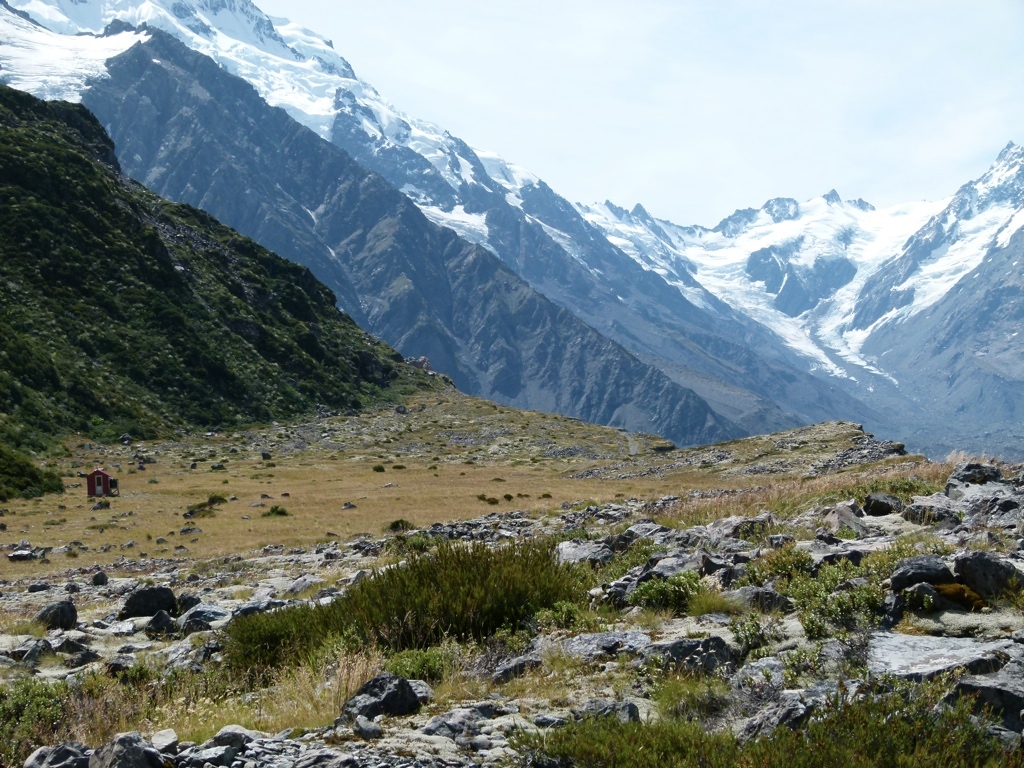
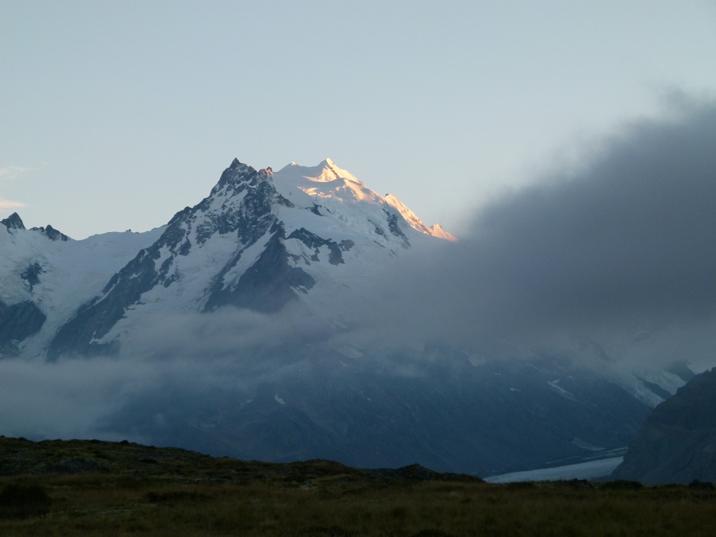
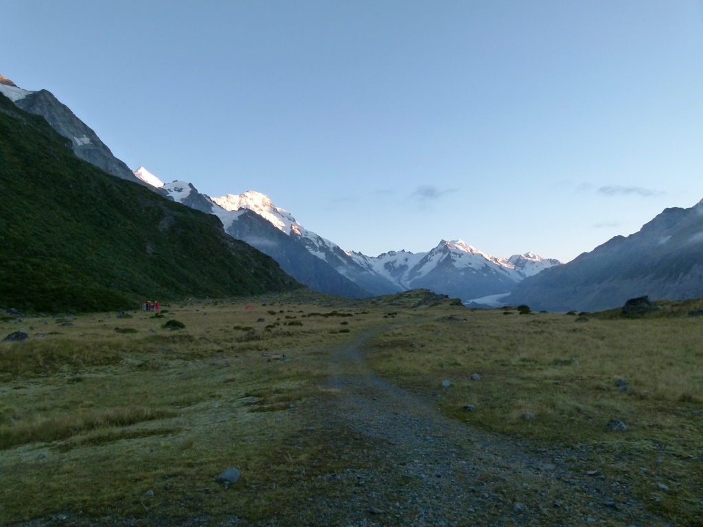
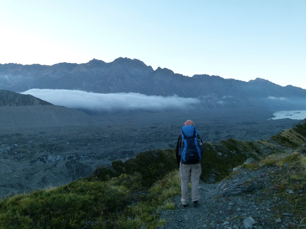
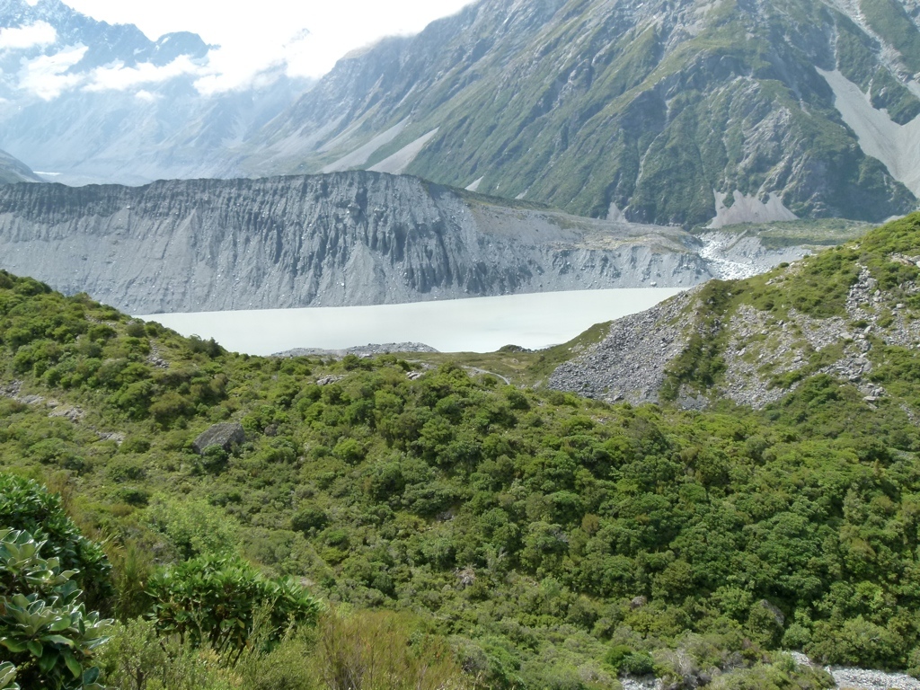
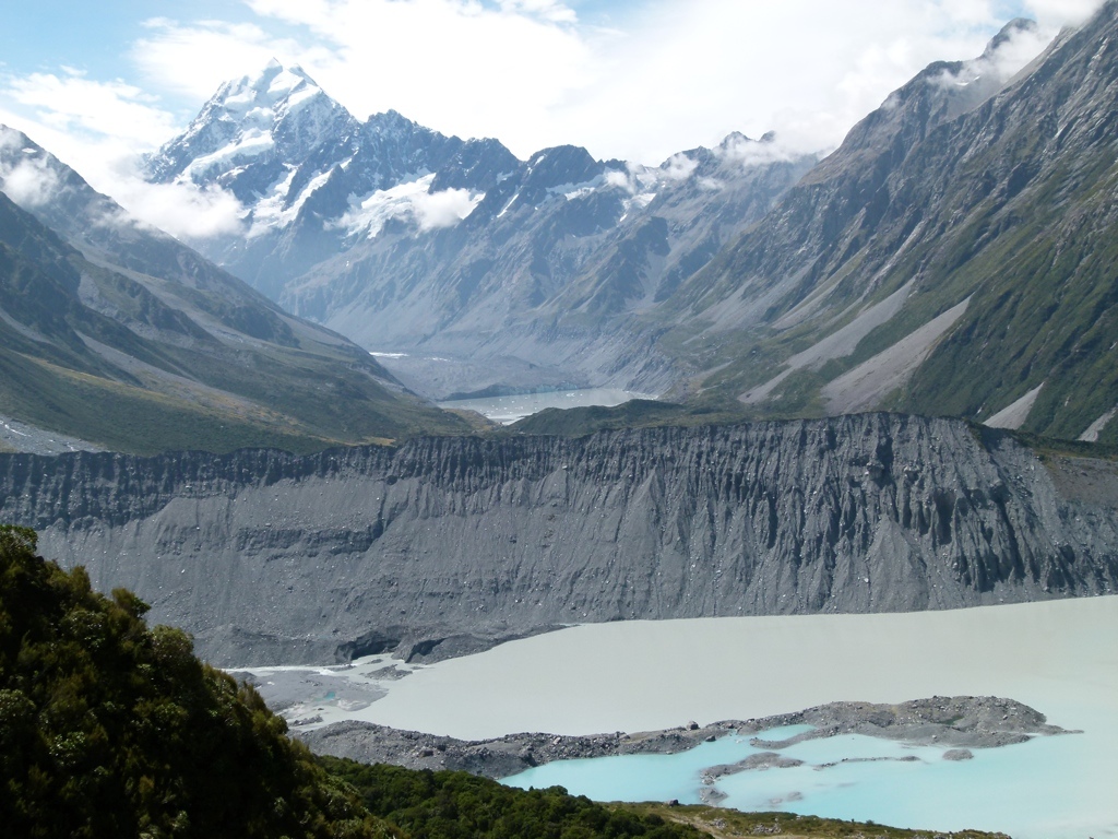
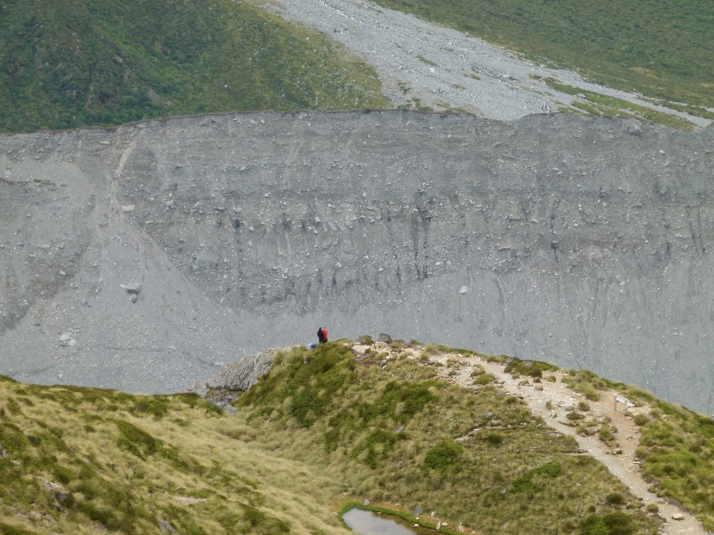
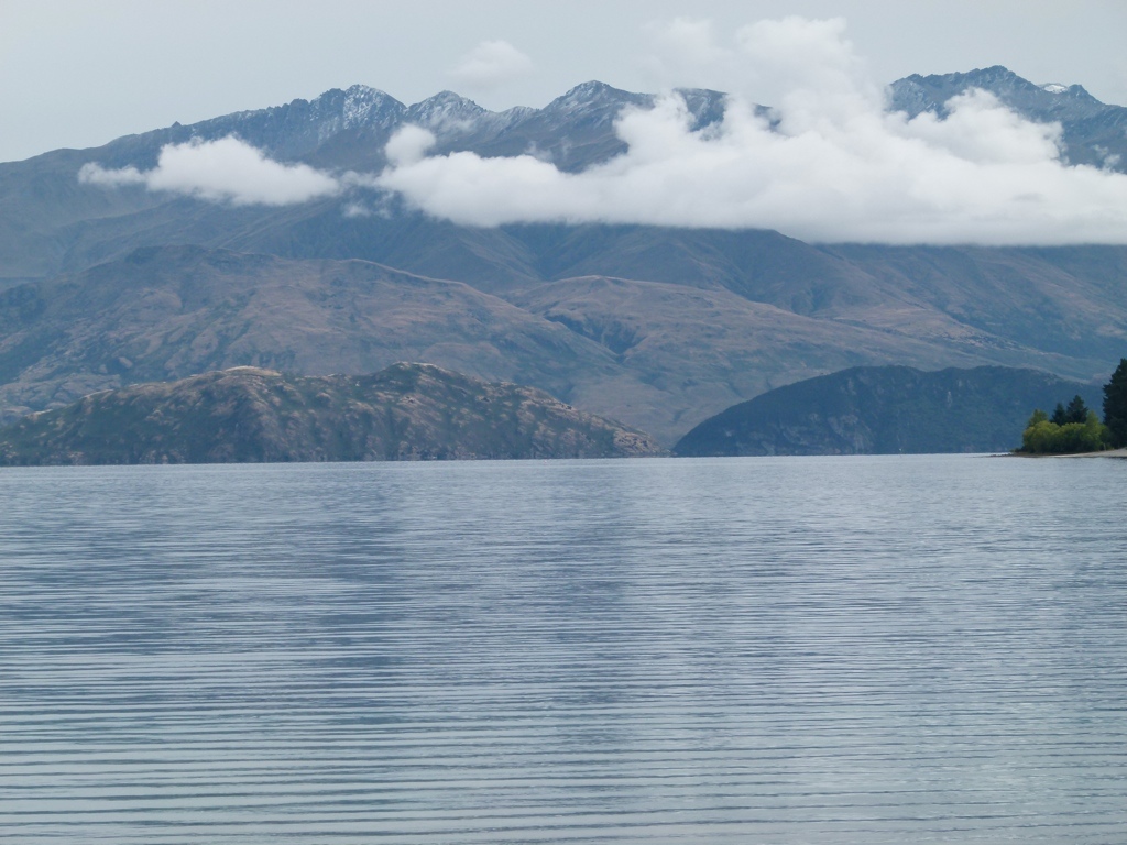
After Tracy got up, we cleaned up, packed up our packs, then headed to Aoraki/Mount Cook National Park. The drive along Lake Pukaki was really pretty, as it approached the mountains through the glacial valley. Once in the Park, we got our overnight permits for Ball Hut that night and Mueller Hut the next night, then headed out to Ball Hut. The hike up the Tasman Glacier moraine and above Tasman Glacier was just absolutely amazing. The Tasman Glacier was gigantic…just absolutely huge. The glacier was covered in boulders and gravel, so we initially thought we were looking at the remnants of an old glacial cut. But eventually we figured out that it was a very active glacier, and we were looking at the effects of a large glacier. It was incredible. You could hear rocks falling off the glacier and see icebergs in the Tasman Lake. And further up the glacier you could see where the snow stayed on top of the gravel all year and the glacier continued up into the mountains. The glacial valley looked like complete and total destruction, and the gravel-covered glacier didn’t look pretty like a normal glacier, but it was still awe inspiring. We made it the 5.8 miles up to Ball Hut in the mid-afternoon, and had the three bed hut to ourselves when we arrived. I tried hiking a little up to Ball Glacier, but the trail was covered in scree and very steep, so I backed off after a little climbing. Then I just sat by the edge of the glacier listening to the boulders crashing off the snow and ice. Late in the evening other people started showing up, and we ended up sharing the hut with two other people.
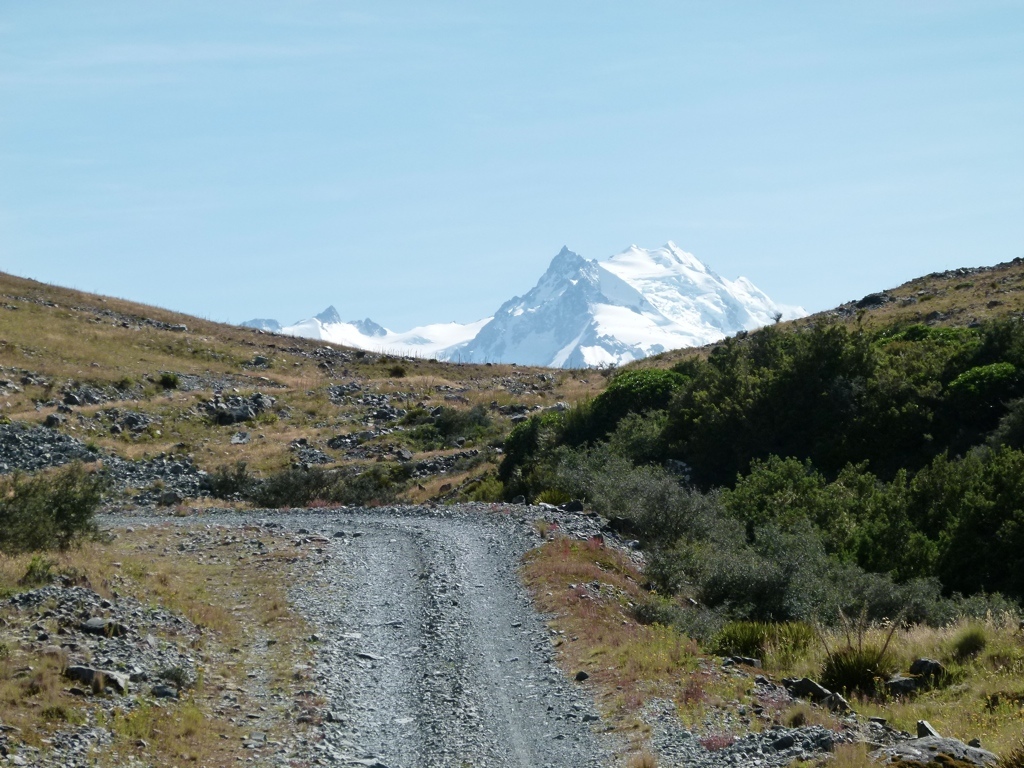
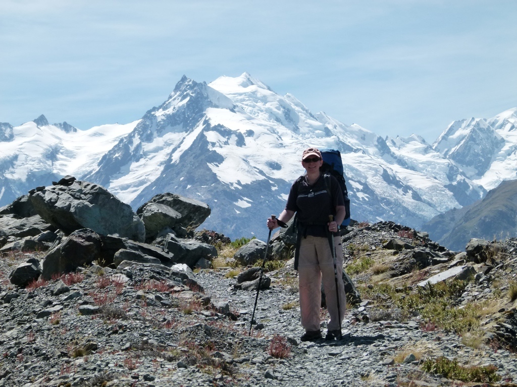
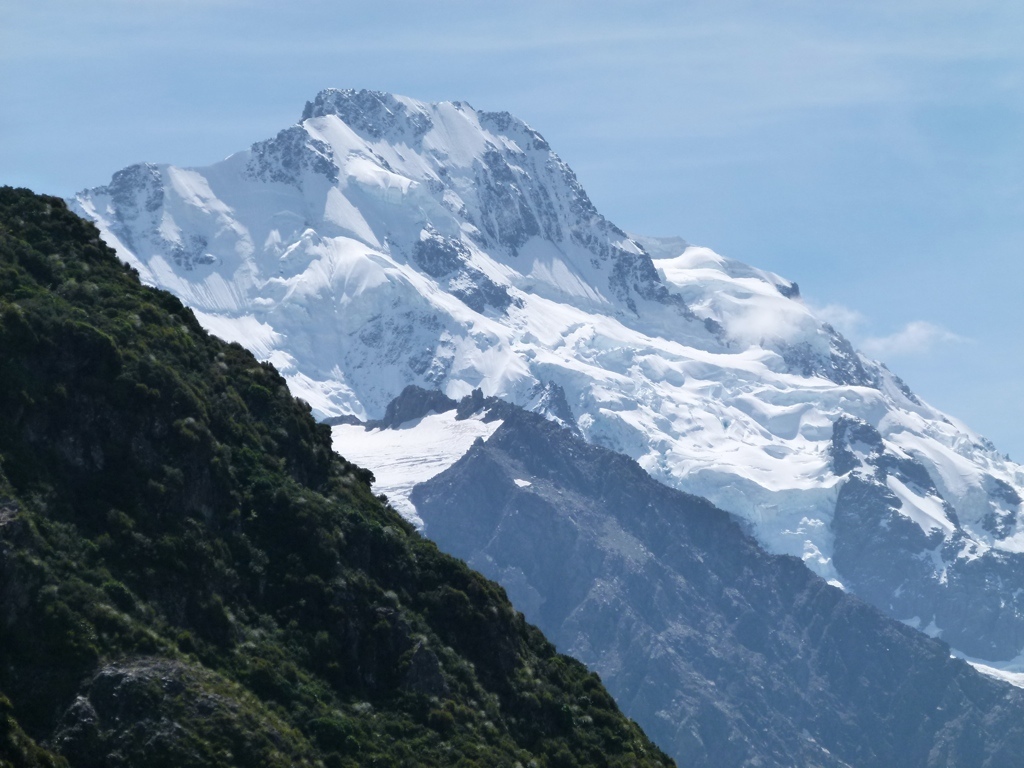
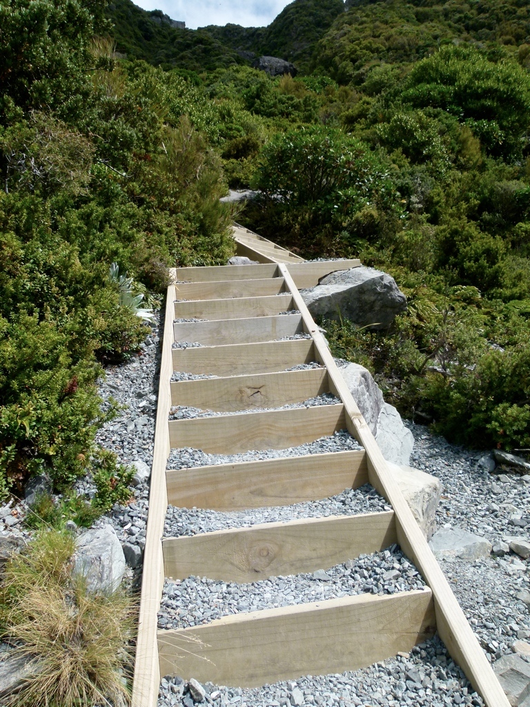
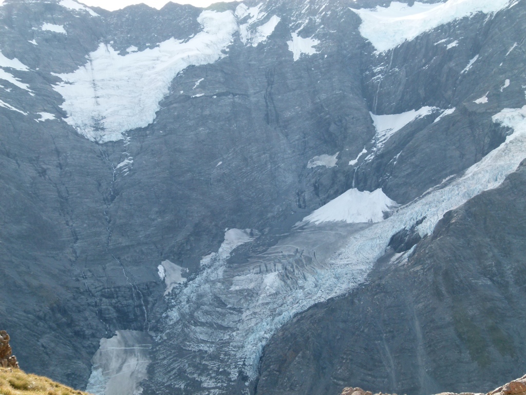
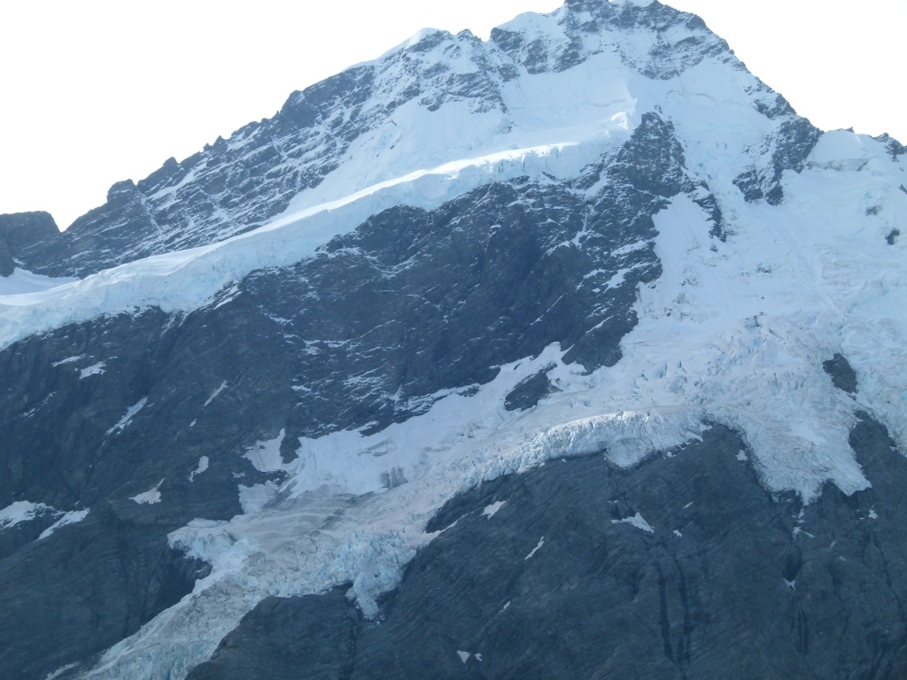
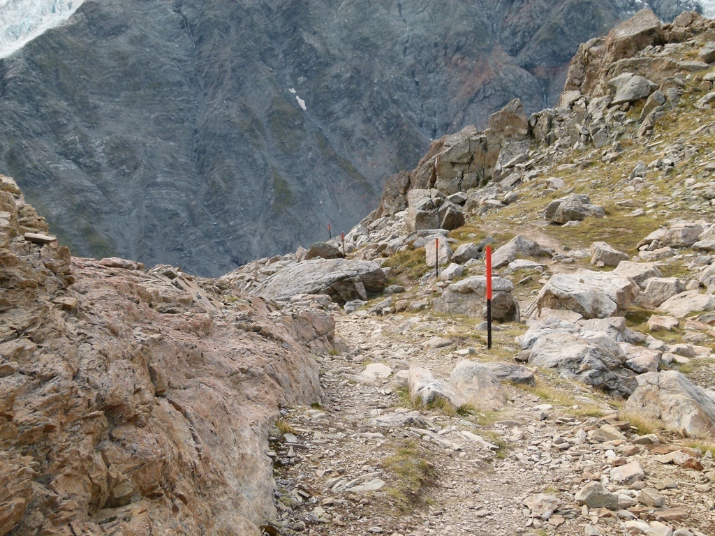
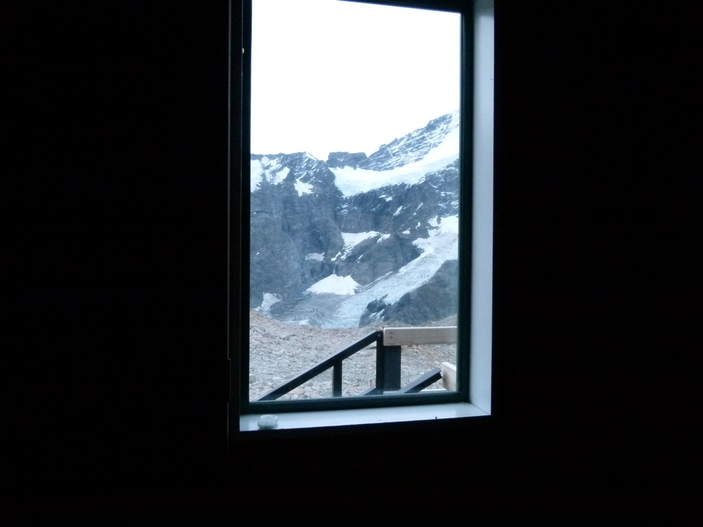
 The next day (Tuesday), we got an early start and headed back to the car. Back at the visitor’s center we returned our Ball Hut permit, confirmed our Mueller Hut permit, then set out for the climb up to Mueller Hut. Now, I knew that this was about 3300 feet of elevation gain in just over 3 miles, so I expected it to be hard, especially with our full packs. But it was much harder than I expected. The first half of the trail is almost entirely stairs…yes, nearly a mile and a half of many, many stairs. That was tough. The last half wasn’t any better…every bit as steep but without the stairs and without switchbacks. I should have gotten some sports drink, because my left leg tried to cramp up a couple of times…that was new. And the last push up to the saddle was a nearly vertical scree slope. We had done steep scree before, but, for some reason, Tracy didn’t like it, and she got really worried about having to come back down it the next day. I didn’t think it was that bad, though, and certainly not as bad as Huron Peak had been. But after about four hours we were up to the hut, and we were surrounded by calving glaciers. The views around the hut were absolutely amazing, and listening to the glaciers calve was incredible. We managed to see one of the glaciers as it was calving, and that was really cool. Mueller Hut is a big hut, and we shared it with about 10 other people. In our room was a couple from Alaska, one girl from Belgium, and another girl from Holland. Everyone was really nice. We were worn out, and got to sleep fairly early.
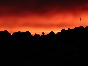
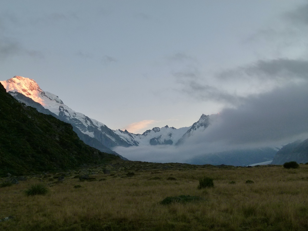
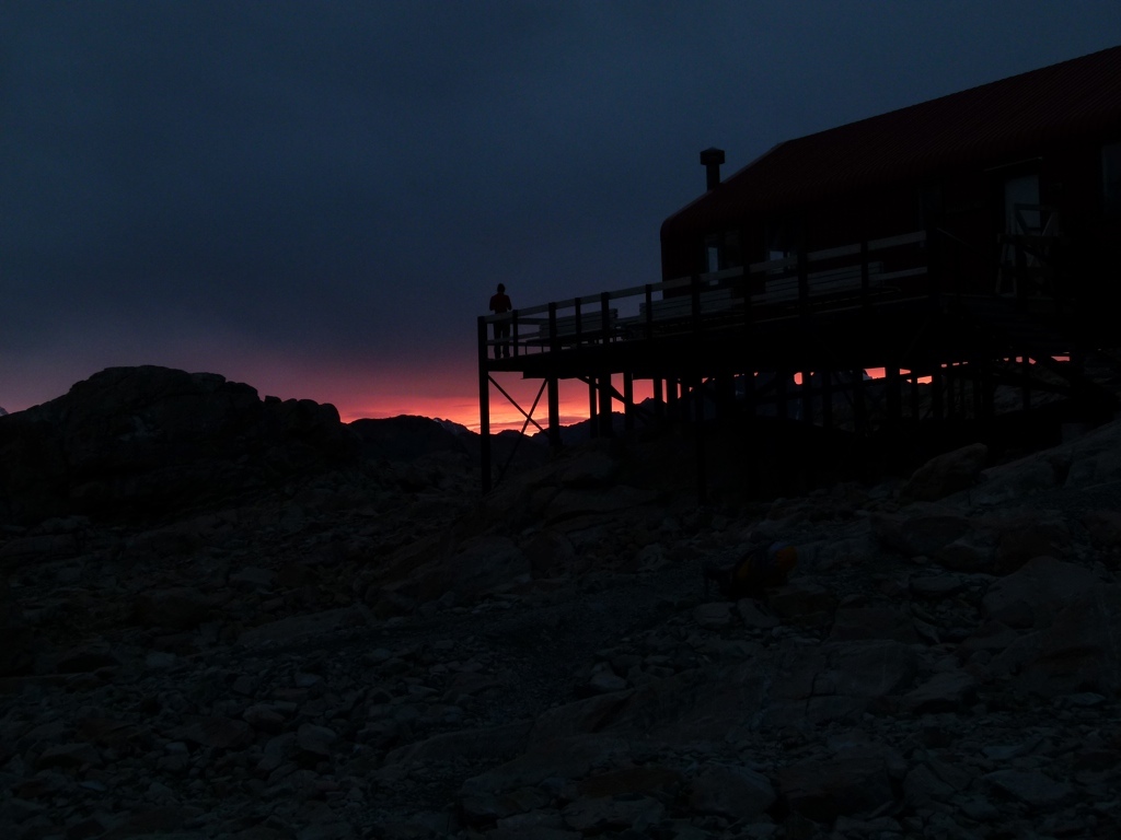
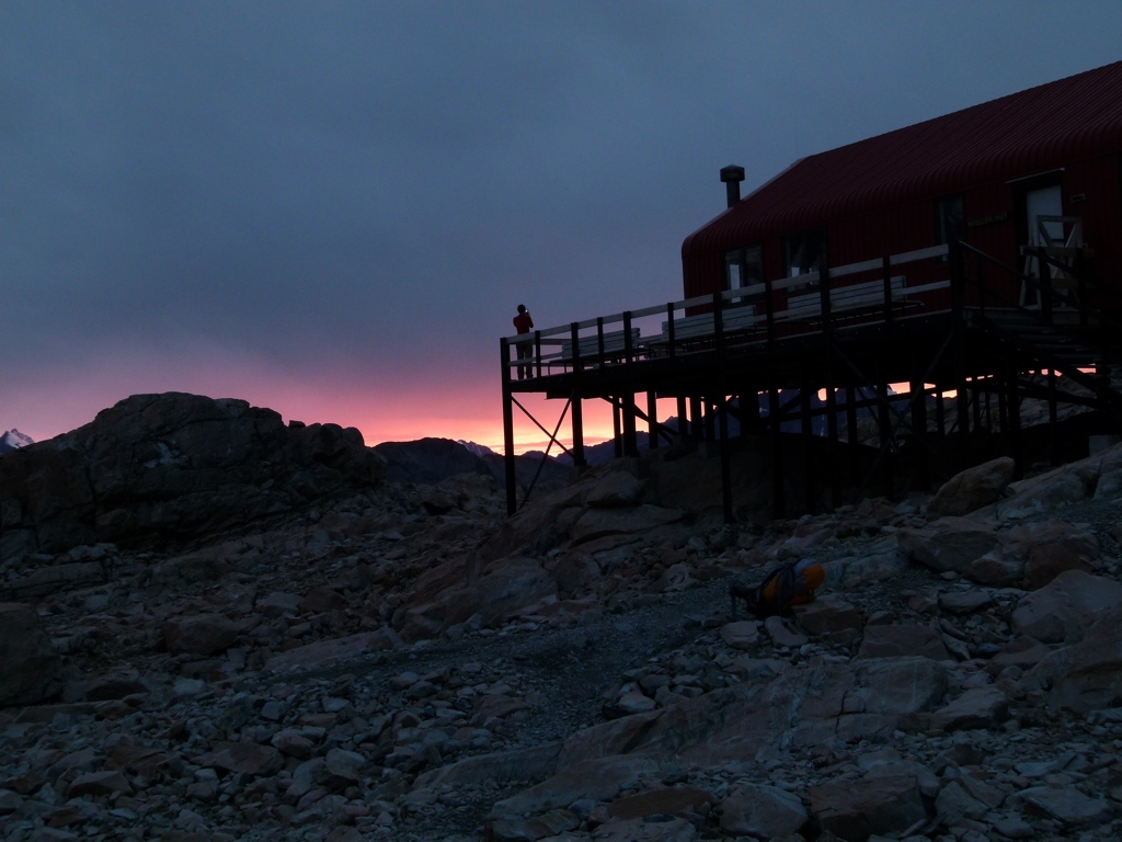
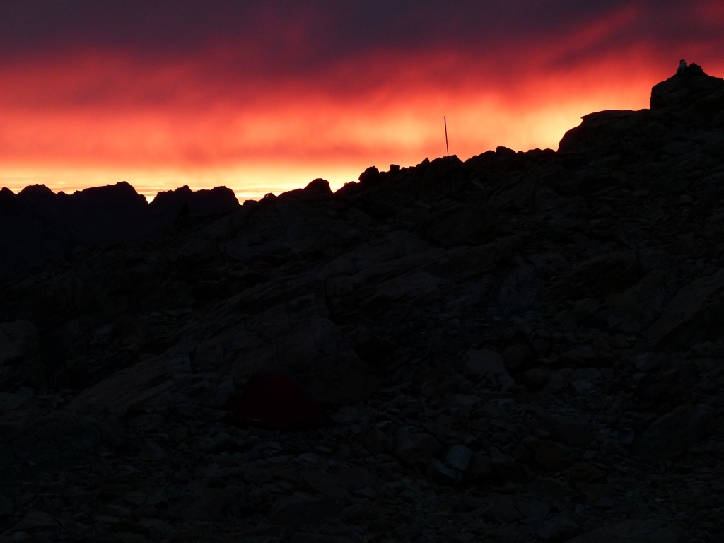
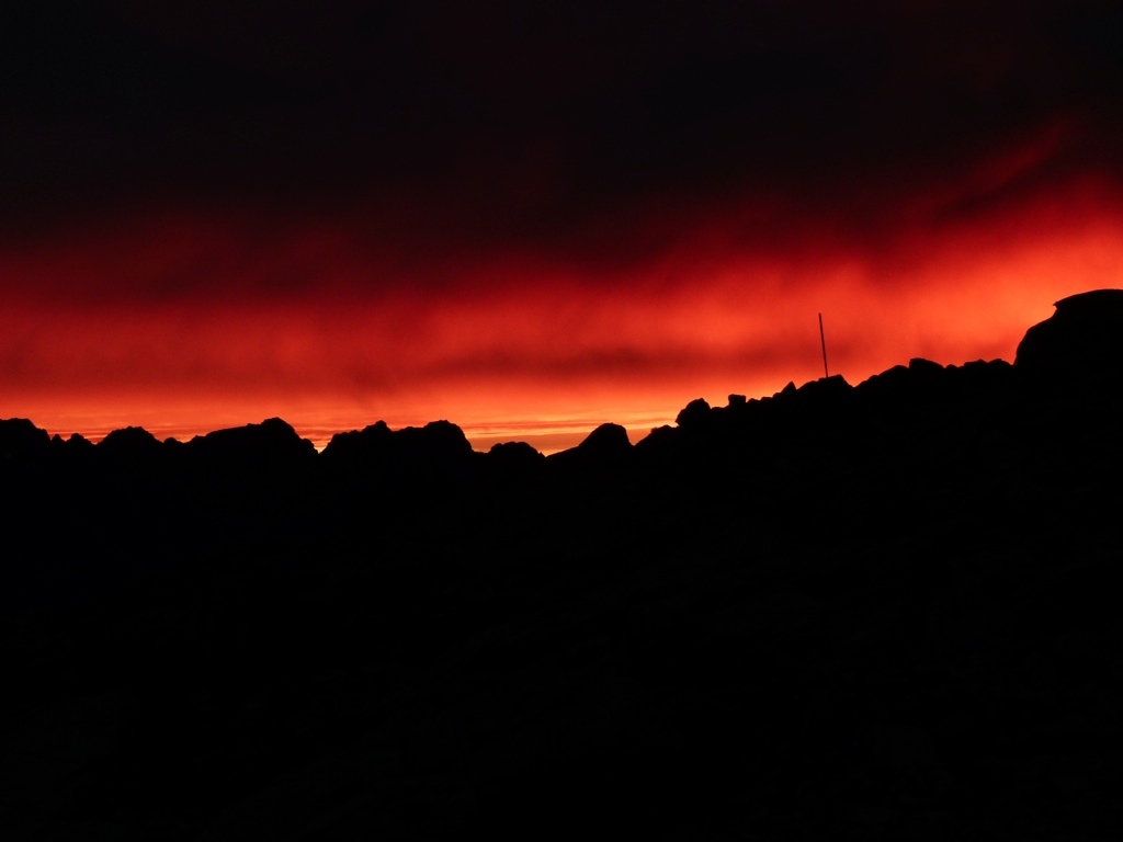
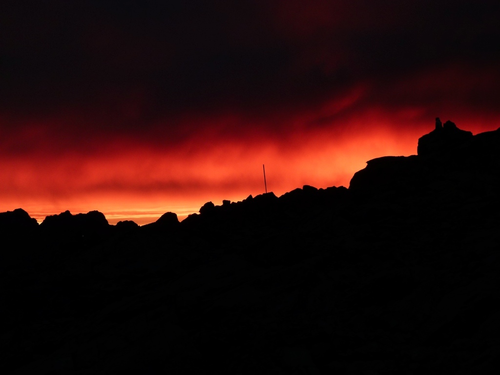
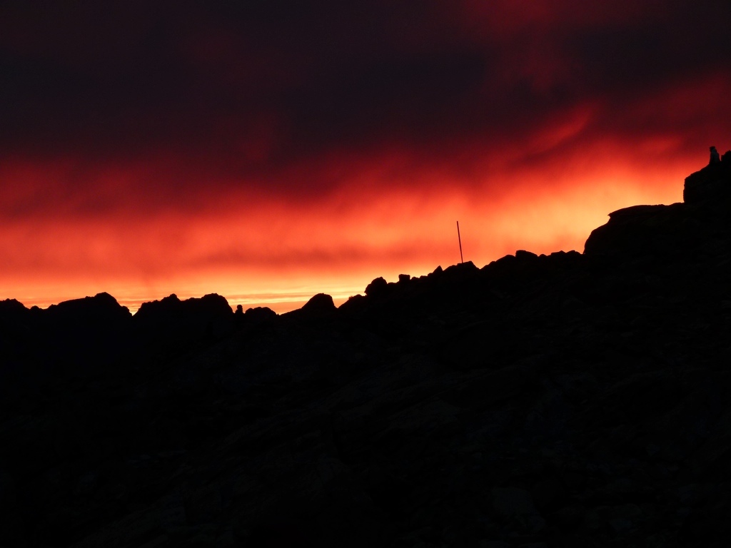
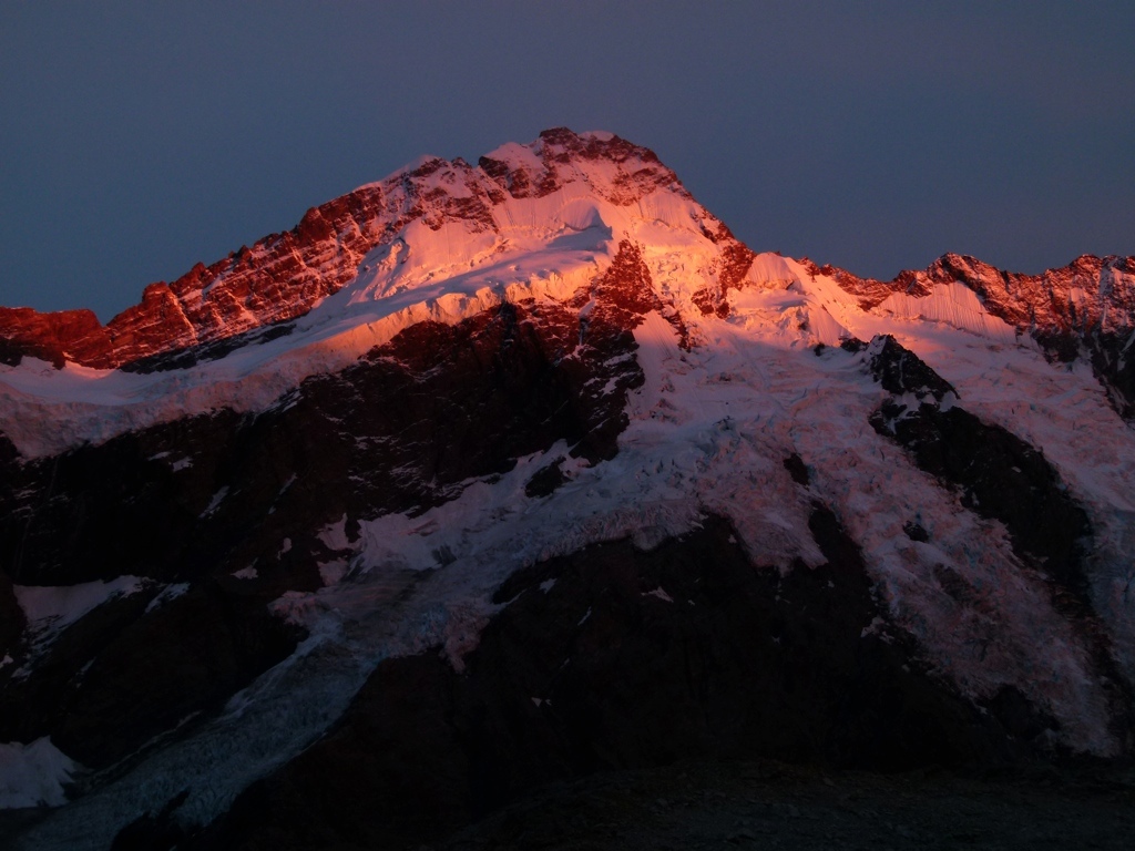
On Wednesday we got up early because there was a chance of rain in the forecast and Tracy was stressed about getting down the scree slope. Before leaving, though, I saw one of the most beautiful sunrises I have ever seen. Look at the pictures…it almost looks fake…it looks like I’m overlooking a lake of fire. It was incredible. We got down the scree slope with no problems, and I started to tell Tracy that she had done the hard part and didn’t need to worry anymore. But I thought better of it because there was still a lot of dangerous downhill hiking to do, and I didn’t want her to get complacent. It didn’t matter, she said it herself. I reminded her to still be very careful, but 15 minutes after the scree section I heard a thump. I looked up and Tracy was sitting on the ground a few steps off the trail in some grass. I said, “You shouldn’t be walking on that slick grass.” She responded, “I just ruined our New Zealand trip. I heard my ankle snap.” She had slipped off of a tuft of grass and turned her ankle. Being an idiot, I took off her boot, and it had already swollen to the size of a softball. Not good. We were tw o miles and 2300 feet above the trailhead. The Alaskans reached us a few minutes later and we started trying to take care of her. Then the girls from Belgium and Holland came down and started helping. After about 15 minutes, a guy from Israel who had camped outside the hut came by. It turned out he was a medic, and he took control. Of course, we hadn’t done anything right, and he undid everything we did and then wrapped her up. He decided he didn’t think her ankle was broken, but it was very badly sprained. The swelling had gone down to about the size of a baseball, and he was able to get her boot back on. The Belgian girl was also super helpful and took Tracy’s pack and carried it down the mountain and left it at the visitor’s center. The Israeli was a life-saver, because he got her wrapped up securely. We then spent the next four hours getting the two miles off that mountain. Tracy was a real trooper. Despite the pain, she just did what she had to do, and I was very proud of her. Luckily, the pending rain kept the trail uncrowded, and we eventually made it off the mountain. I then got bags of ice to put on the ankle, found her backpack, bought some t-shirts, then we headed out to Wanaka. Wanaka was where we were headed for the night anyway, but it was also the closest doctor in the direction we were going: two and a half hours away. The doctor didn’t think it was broken, either, but the x-ray was already closed for the day, so we had to go back the next day for an x-ray. So we went to the hotel and tried to recover. We were every bit as sore as we had been when we backpacked out of the Grand Canyon, so we were in some good pain!
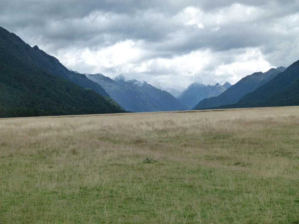
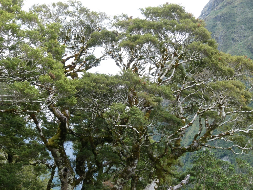
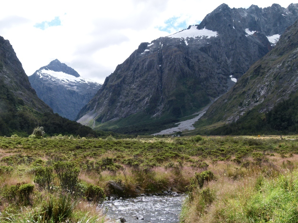
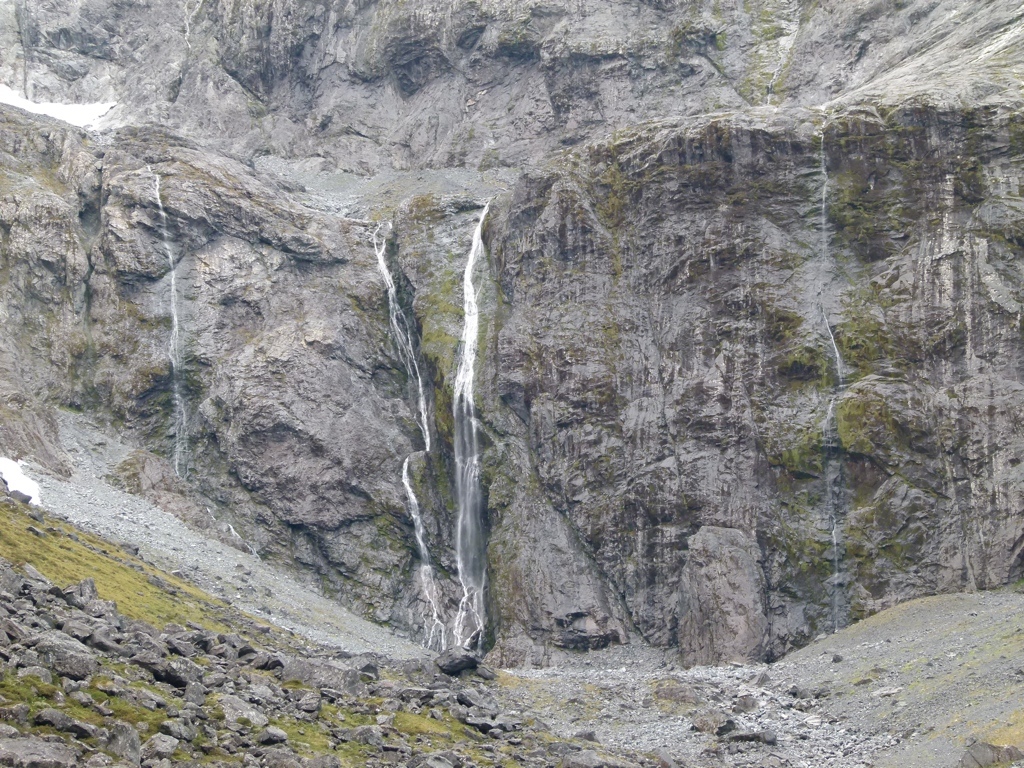
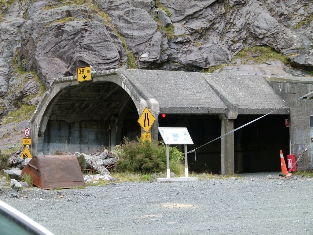
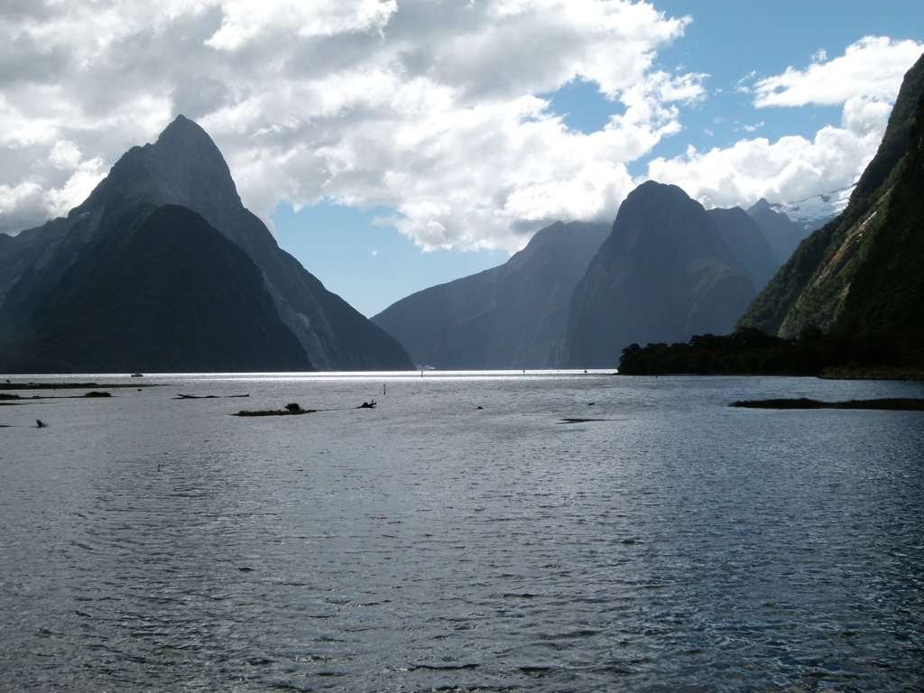
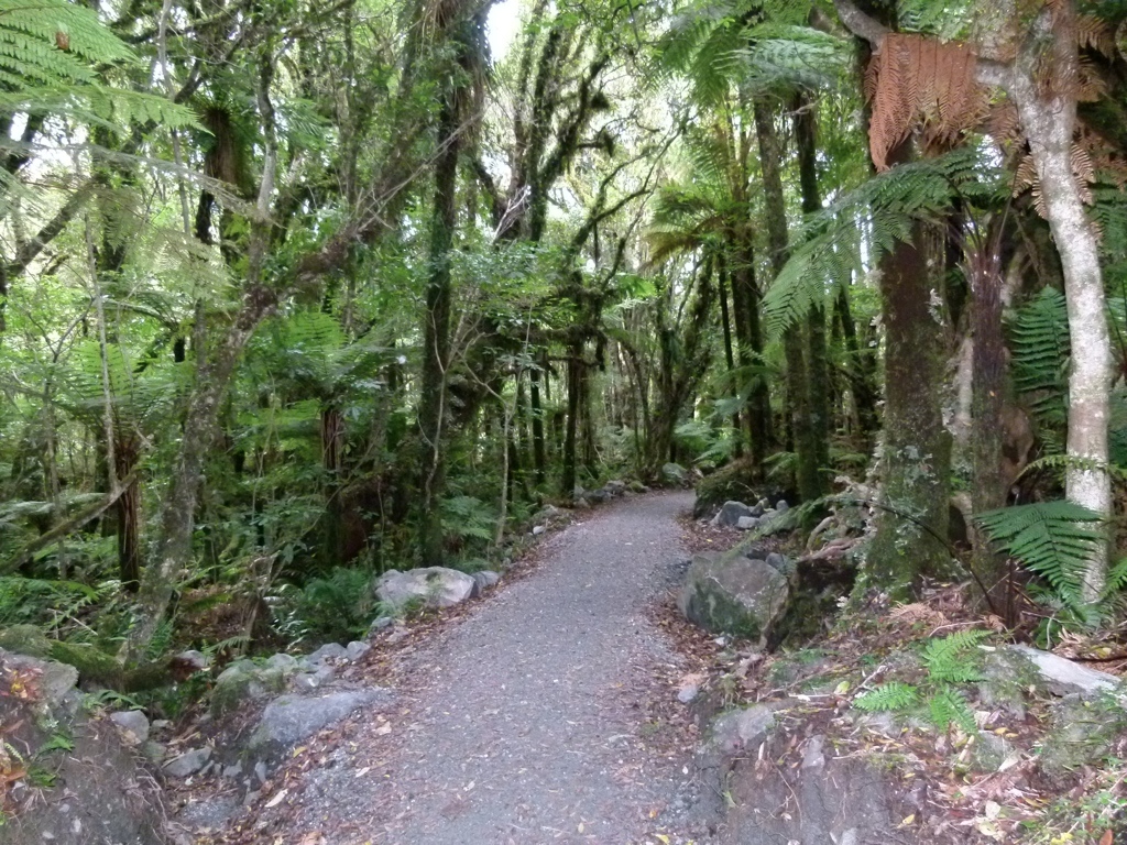
We got up the next day and got Tracy’s x-ray, which confirmed that the ankle wasn’t broken. But they said it would be several weeks before she healed, so we would have to take it easy for the rest of the trip. The doctor suggested Milford Sound, so we headed south to Te Anau. After several hours of driving through nice pasture lands, we arrived in Te Anau and got a hotel room. From there, we drove down to Milford Sound. The Sound was beautiful, and Fiordlands would have been a great park to backpack. It was a rain forest, so it was completely different from Mount Cook. Tracy was in a lot of pain, though, so we just walked a little on a couple of flat paved trails. From there, we returned back to Te Anau for the night.
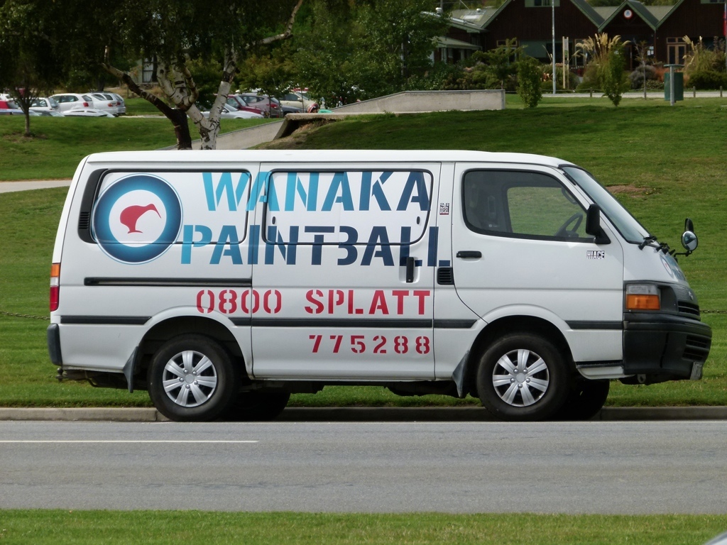
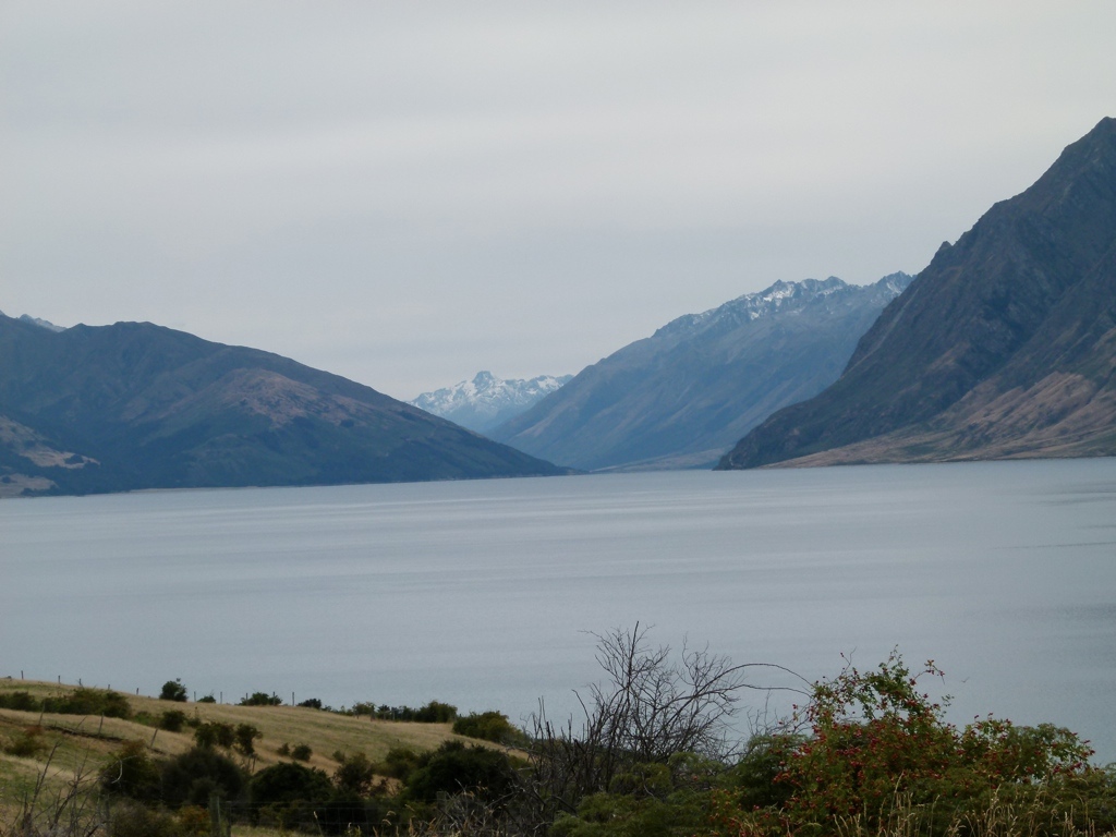
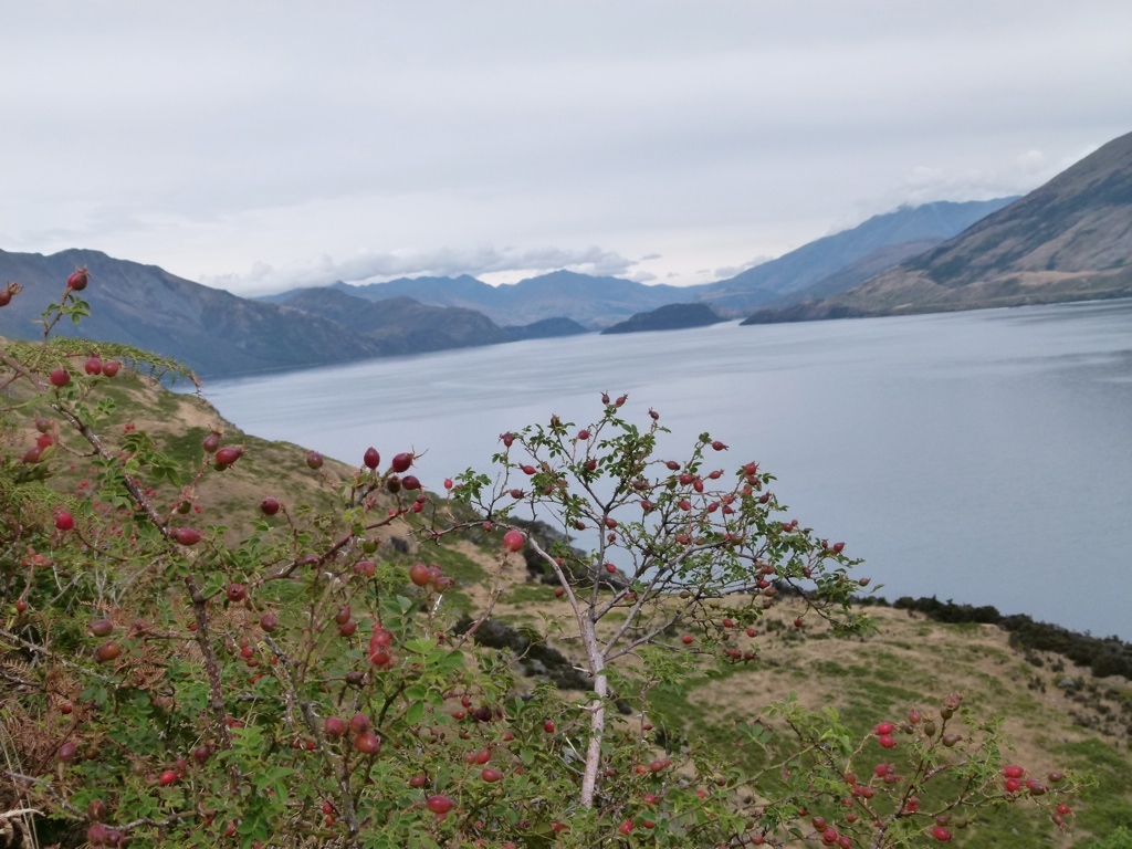
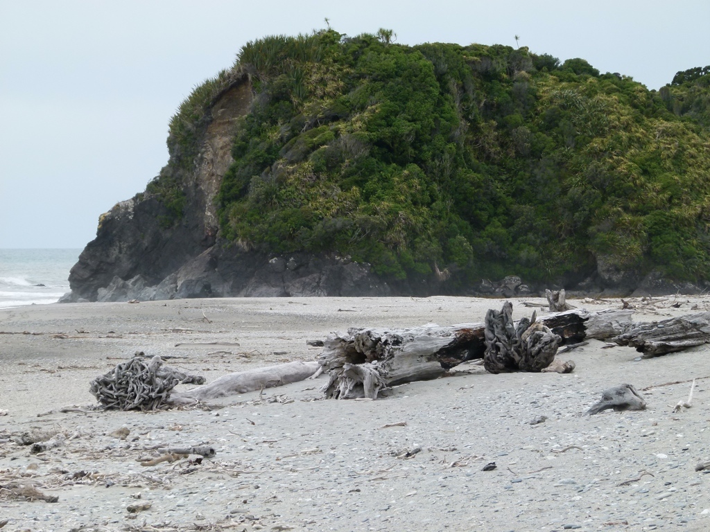
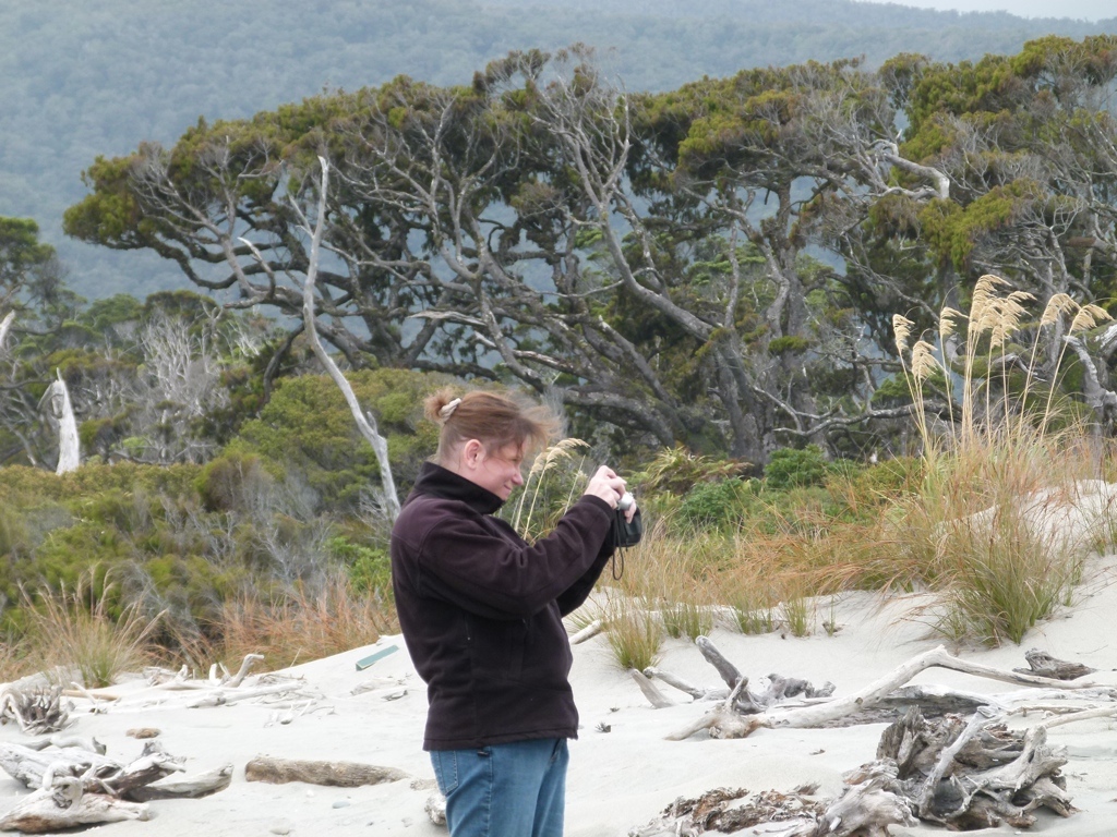
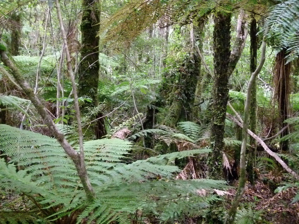
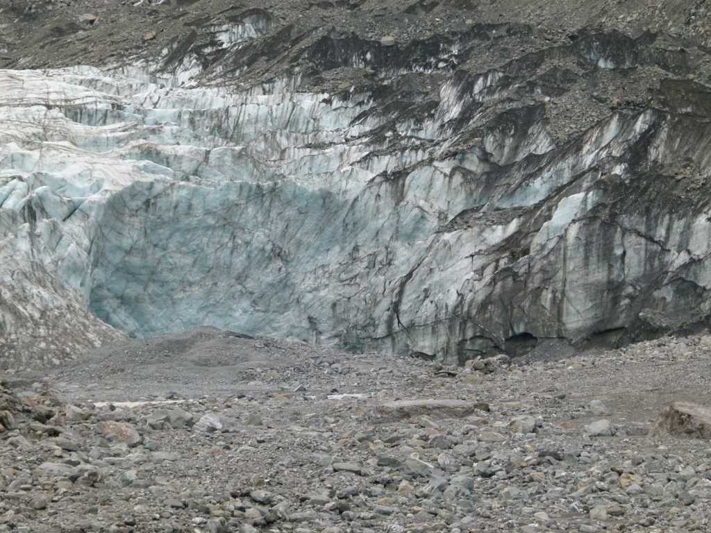
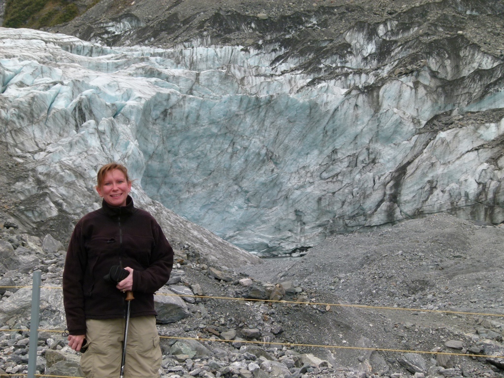
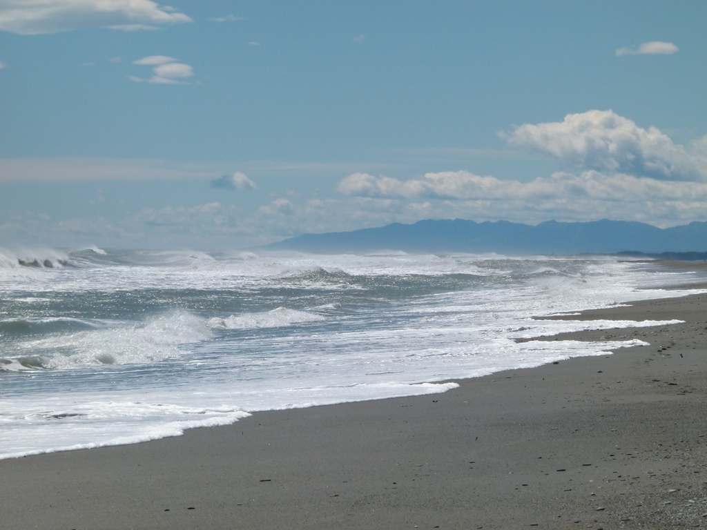
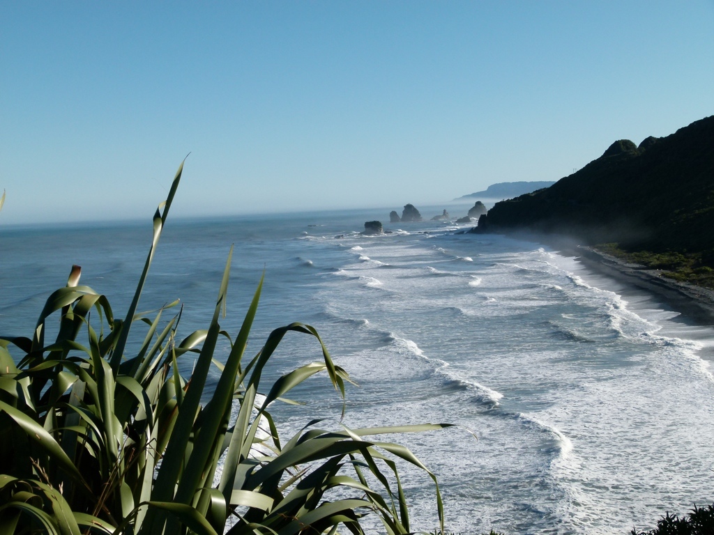
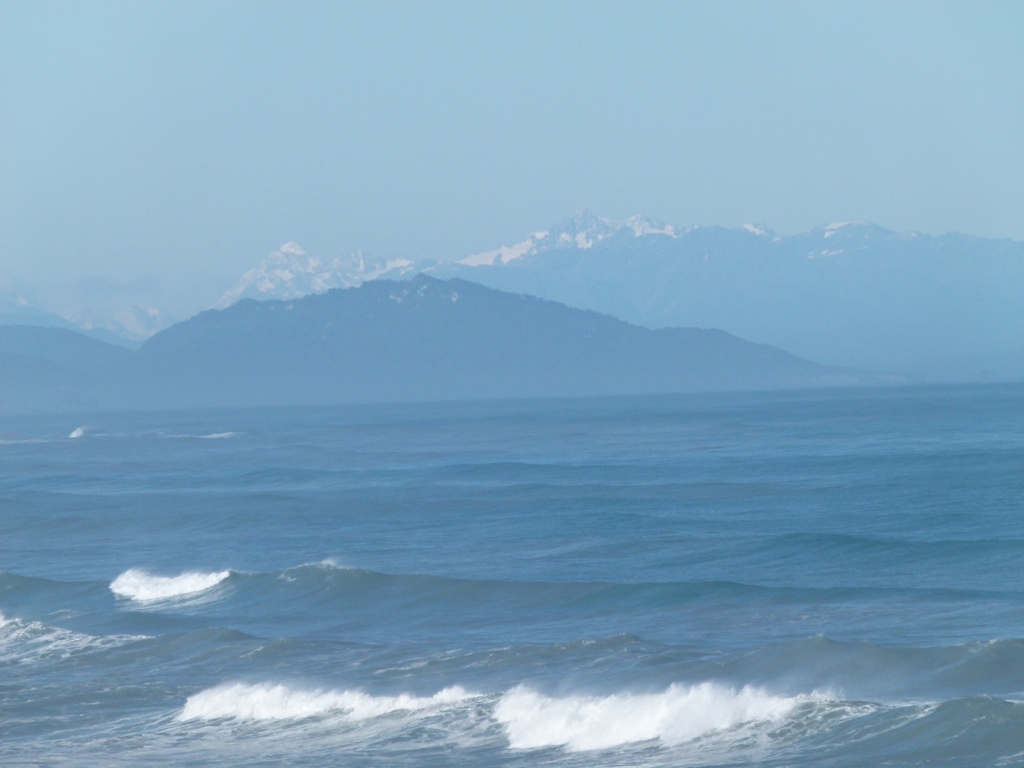
On Friday we got up and headed back towards Wanaka to make our way over to the West Coast. On the way we stopped off in Queenstown. Queenstown was like Moab on steroids: it was crazy crowded and all of the industry was focused on outdoor activities. It was kinda cool, but it was way too crowded for my taste. From there we continued on to Wanaka for lunch, and I decided that Wanaka was my favorite town so far. It was small but big enough to have what you need, it is surrounded by mountains and national parks, and it has a big lake right in town. From there we headed over the mountains to the coast. We walked a little at a couple of waterfalls on the way, but Tracy was still hurting so we didn’t walk much. Once we reached the coast, we stopped at our first beach of the Tasman Sea, and we were attacked by horrible bugs. The vegetation here was very thick and reminded us of the rain forest. We then made our way to Fox Glacier for the night.
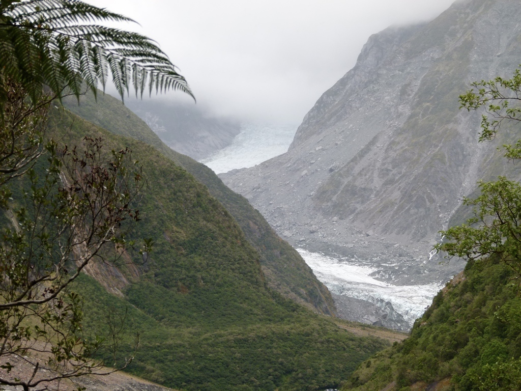
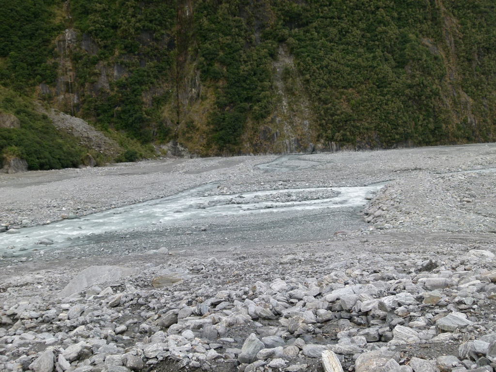
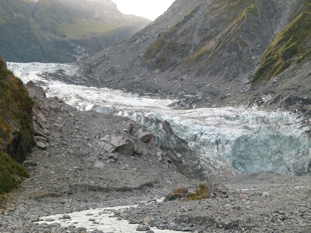
The next day we hiked up to Fox Glacier. Tracy was starting to feel better, so she didn’t have too much problem on the short mile hike up to the glacier. We started early enough, so there weren’t many people on the hike up. On the hike back, though, we ran into bus loads of people, and we were glad to start moving. The past couple of days had been crowded, and I was beginning to get irritated by the numbers of people. We then continued north up the coast. We stopped in a small town called Ross and got sandwiches that we took out to the beach. From there we drove up to Arthur’s Pass National Park where the original plan had been to backpack that night. Once we got there, though, it was chilly, the mountains were very steep, and they looked a lot like mountains in Colorado. We couldn’t have backpacked with Tracy’s ankle, anyway, but we felt like we weren’t missing much, and might not have backpacked that night, anyway. So we turned around to head back to the coast. We took a back road through the foothills, and that was perfect. It was completely deserted, and we found a really nice lake where we just sat and enjoyed the afternoon…I needed to get away from the people. We continued on the long, leisurely drive through remote farmland, before finally driving into Greymouth in the evening. We found a hotel and walked around town at night a little.
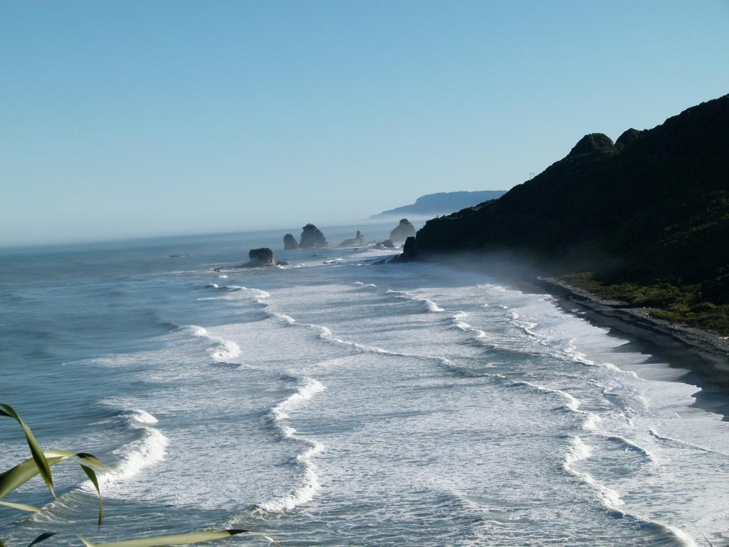
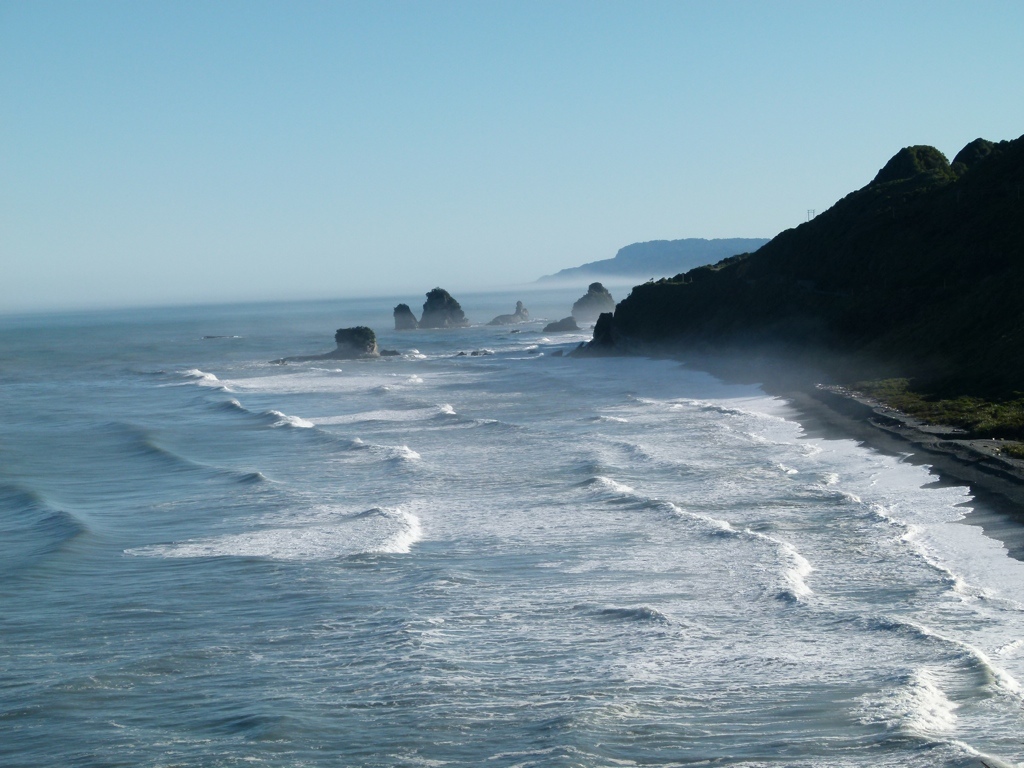
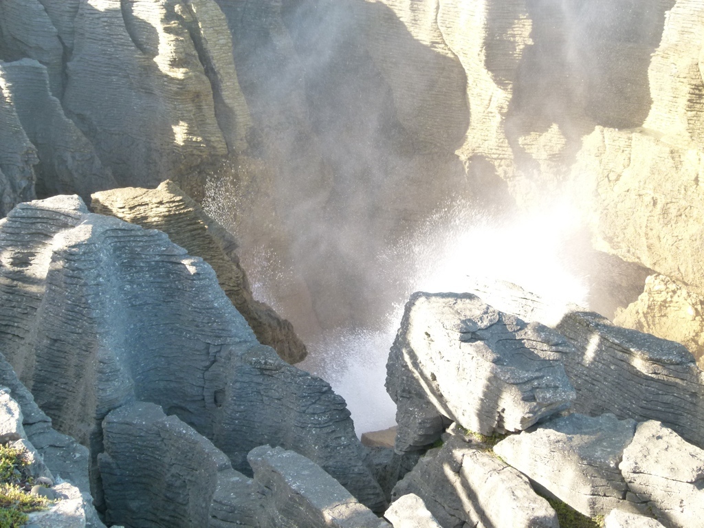
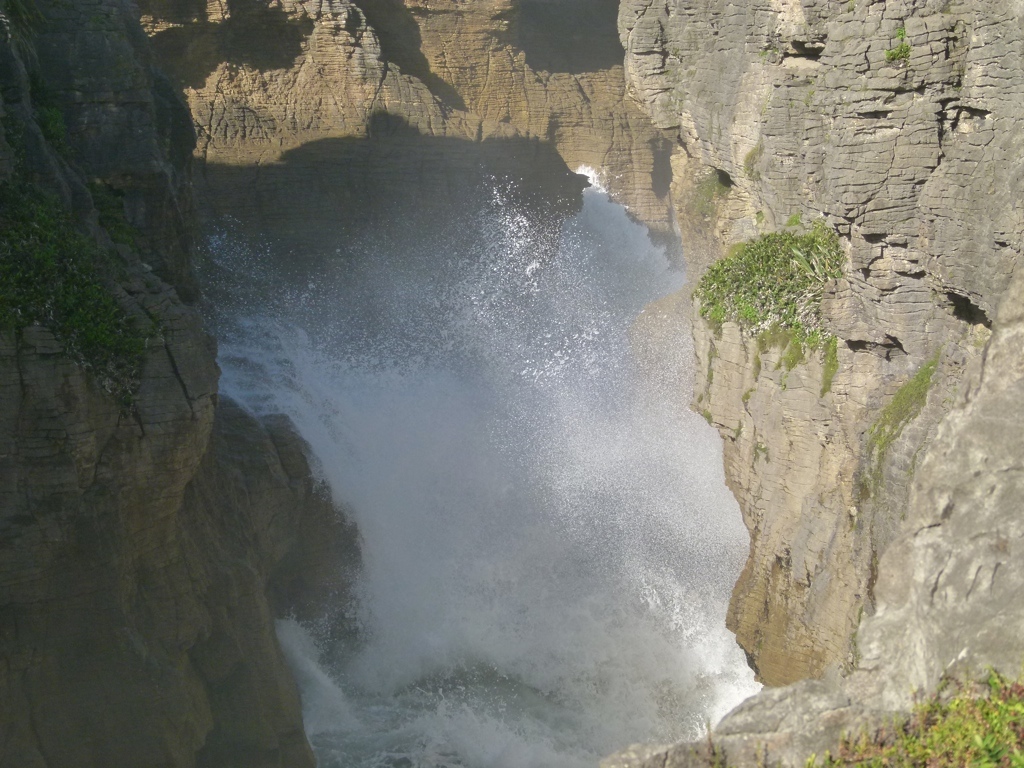
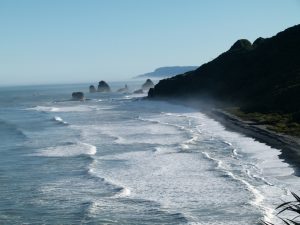 We got up on Sunday and drove up the coast to Paparoa National Park. The views over the sea from this drive were wonderful. We made it to the park and walked out to Pancake Rocks and the Blowholes. The blowholes were awesome. They were rock formations along the sea where waves would crash into canyons in the rocks and shoot water up the sides into the air: blowholes. It was like watching geysers. The crashing waves roared loudly into the canyons, and the big waves would shoot up the rock faces and spray into the sky. And when the waves were particularly big, the spray would leave behind a great rainbow. We stayed there enjoying the blowholes for over an hour…it was well worth the drive up to the park. We then checked out a small cave in the park. We considered going on a commercial caving tour to see glow worms, but the trips were just too expensive for our taste, so we continued driving up the coast before turning inland just before Westport. From there, we headed to our reserved hotel in Saint Arnaud. The drive from the coast to Saint Arnaud seemed to take forever. The road was narrow and winding, and by the time we rolled into Saint Arnaud I was sick of driving. We checked into our hotel and walked a little around the very small town and Lake Rotoiti. We also decided we would try the backpacking trip we had planned the next night up to Angelus Hut in Nelson Lakes National Park. We had already reserved and paid for the hut that sets beside a high-altitude lake, so we wanted to give it a shot. After looking more closely at the map, though, we decided the trail up was way too steep and there was no way Tracy could do it. We talked to the rangers, though, and they said we could stay at another hut on the way for free if we couldn’t make it, so we decided to try our luck with that.
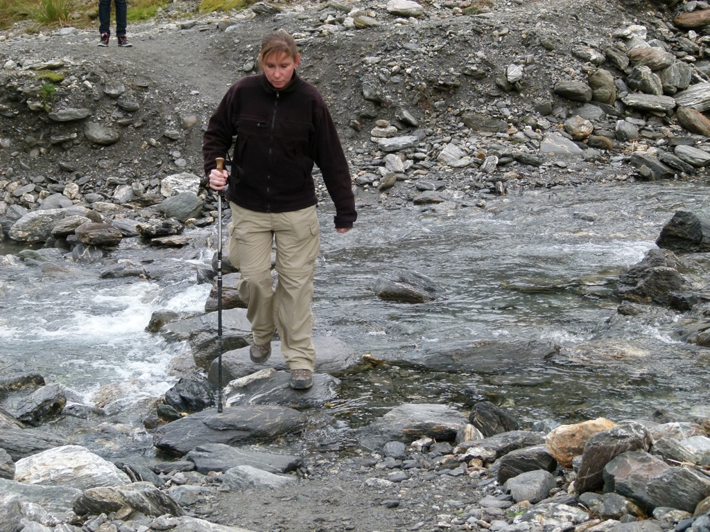
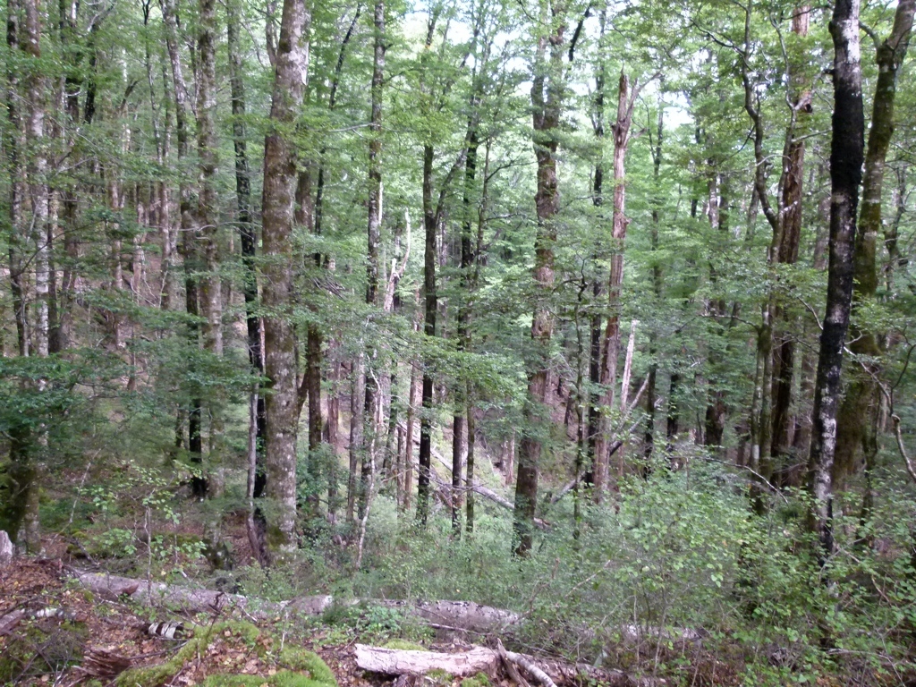
We then got up on Monday and started backpacking. Unfortunately, two things happened: the trail looked exactly like something you might see hiking in the southeast, and the trail was almost completely covered in tree roots. The ground was also slick, and so the roots made the walking tricky. Normally this wouldn’t have been a problem, but with Tracy’s weak ankle, this seemed like a recipe for disaster. Coupled with the fact that the forested trail reminded us of Tennessee, it didn’t much seem worth the risk. So after a mile or so, we decided to turn around. So we headed back to the car and decided to do more driving. I was pretty tired of driving, but the mountains here were just not something Tracy could hike with her bad ankle. We drove through the beautiful pasture lands east of St Arnaud, then drove up to the straits between Havelock and Picton. That drive was very winding, and took a long time, but was also very pretty. We then continued down the east coast along the Pacific Ocean, before stopping for the night in Kaikoura. We tried to find a place to car camp, but didn’t have any luck. We hiked a short way up a trail outside of Kaikoura, and then went into town for the night.
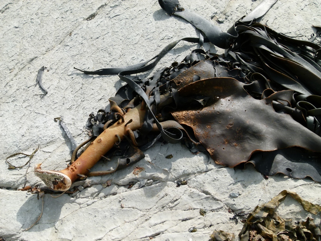
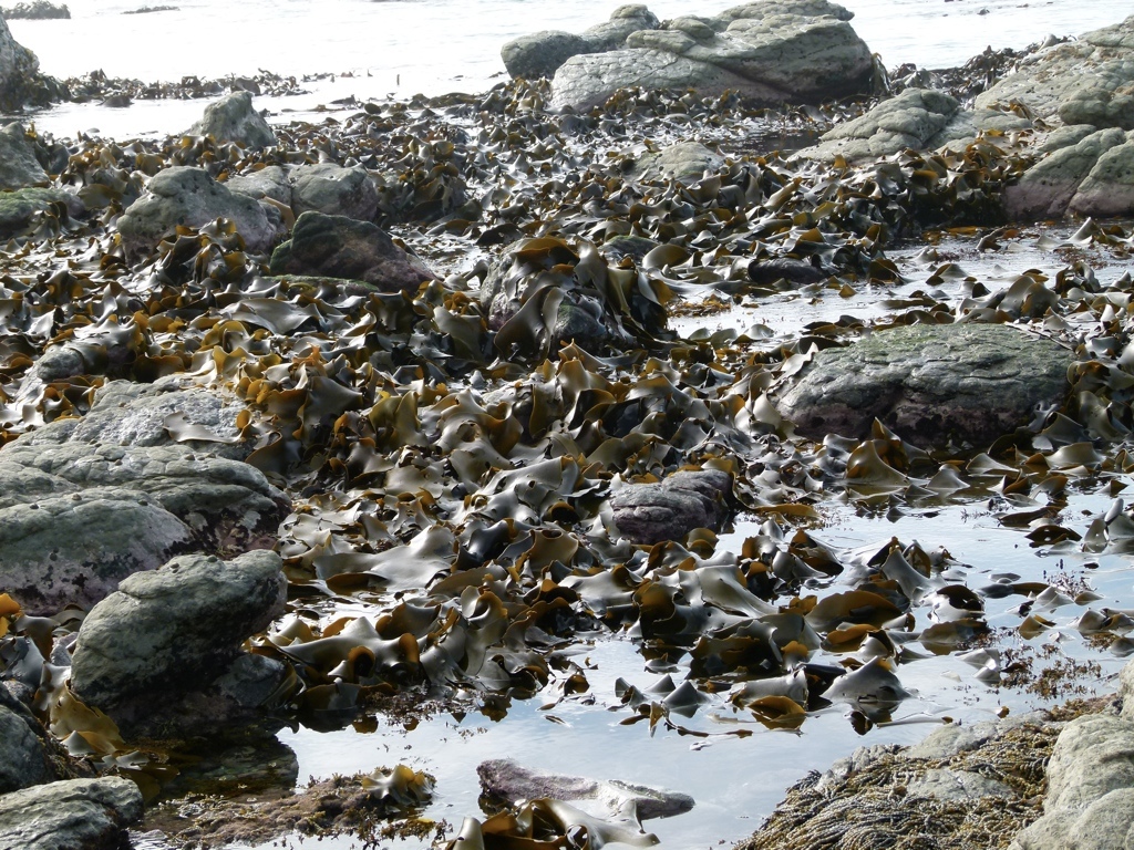
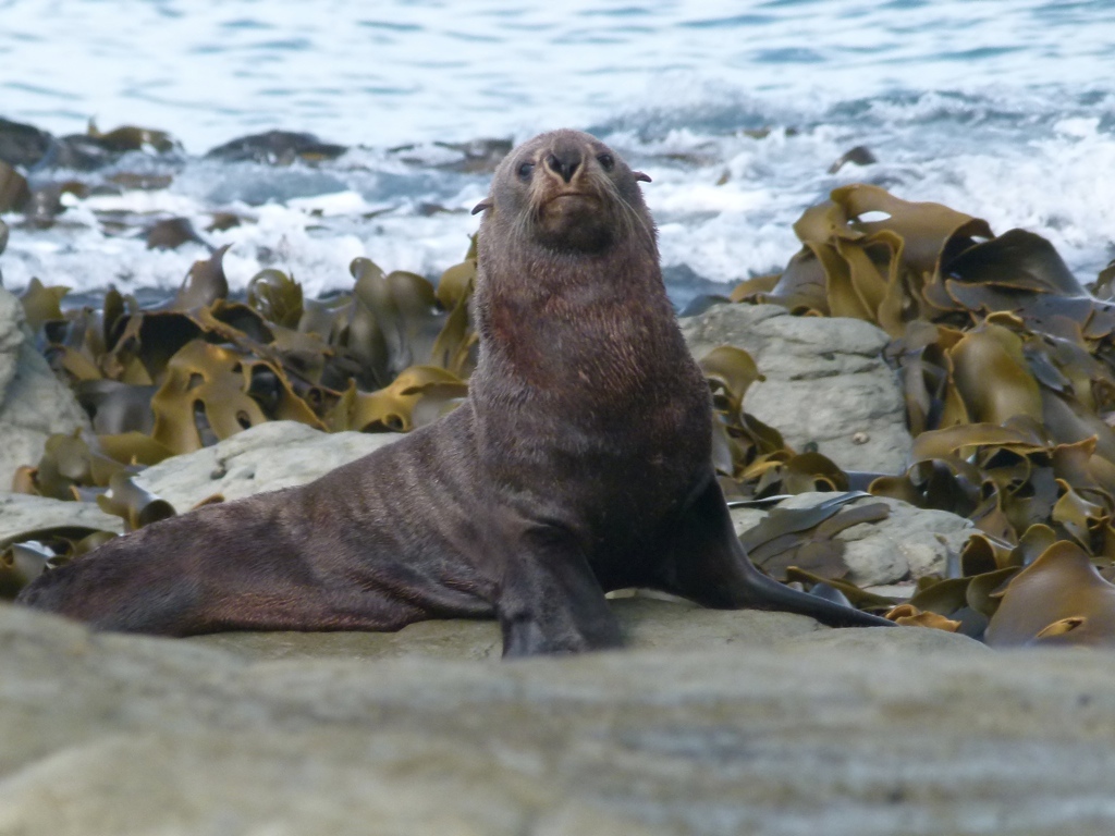
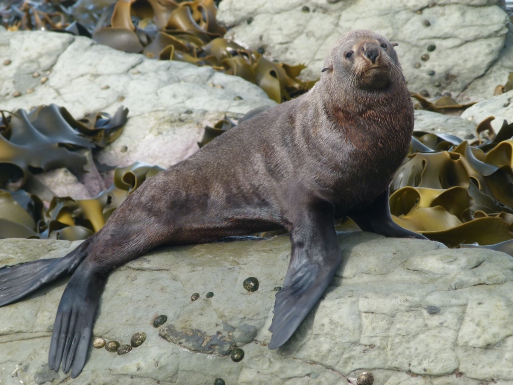
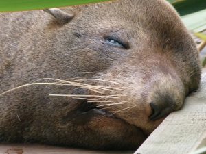 The next day, our last full day in New Zealand, we hiked along the coast and photographed seals. We then drove on into Christchurch where we already had a room reserved for the night. We checked in, unloaded the car, then went on a long walk through Hagley Park and the very nice botanical gardens. This was a great park, and we walked for several hours…much to the dismay of Tracy’s ankle after we were done. We then went back to the room, packed, re-packed, got some dinner, and called it a night. We got up the next day, probably re-packed, because that’s how I roll, got some breakfast at an American-style breakfast place, shopped around a little, then headed out to return the car. I was happy to return the car without damage after a week and a half of driving on the left side of the road. We then made our way to the airport and began the 26 hour trip back to Utah.
This was an amazing trip. I have described it by saying that we saw places that reminded us of the best places in Colorado, Montana, California, Hawaii, Alaska, and Tennessee. This makes you think that it’s not worth going there if it just looks like places you can see in the U.S. But there were plenty of places we saw that were uniquely New Zealand, and it’s important to remember that we saw all of those great places on just half of one island, so it was packed into one place. This was my first time (not counting Canada) being in a foreign country that spoke English…it felt a little weird. Tracy said she was glad they drove on the left side of the road, because it made it feel more like a foreign country! This trip was outstanding, and I highly recommend New Zealand as an active vacation.
Photos


[mapsmarker marker=”50″]