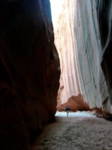
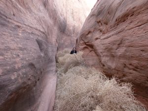
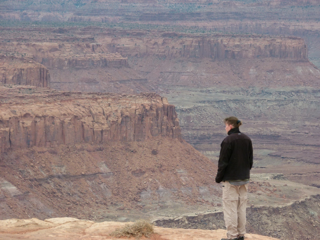
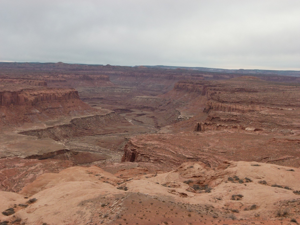
We saw Smith Fork Canyon when we flew over it back in January, and it looked like a nice slickrock area that I wanted to check out. So the weekend of 4 Mar 11, we drove out towards Bullfrog, UT, to explore the area. The basic plan, since this was just exploration, was to drive the 4×4 roads outside of Ticaboo, and then try to find a way to get down into the slickrock that looked to be surrounding a canyon. We ended up getting pretty close, and then hiking across the desert to drop into Smith Fork Canyon. We might could have kept driving down that road a little further to get closer, but we didn’t know that at the time, so we just headed out across the desert to a small side canyon. We had to do some easy down climbing to get into the main canyon, but it wasn’t any problem. Once down in Smith Fork, we turned towards Lake Powell and just started down the canyon. We were here to look for slickrock playgrounds, but the canyon itself turned out to be pretty nice. It narrowed up pretty nicely, and got deep, so we really enjoyed it. It also got choked in several places with tumbleweeds, which Tracy didn’t enjoy getting stuck in at all. We ran into one big rock fall that took some navigating to climb down, but it wasn’t too bad, either.
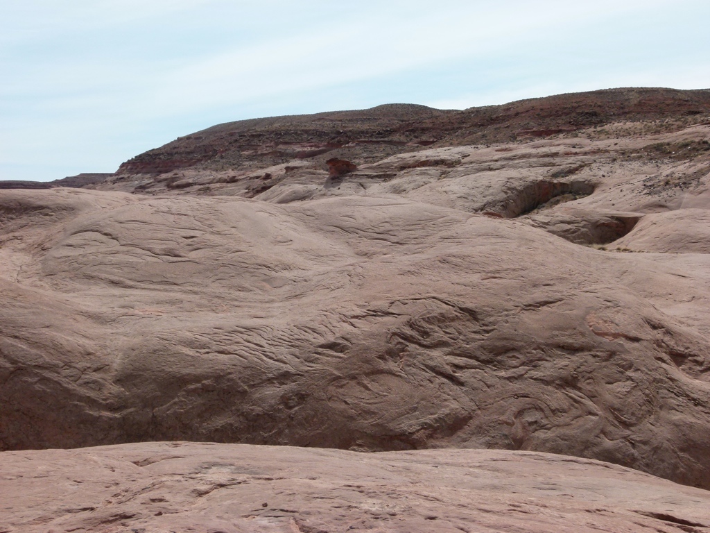
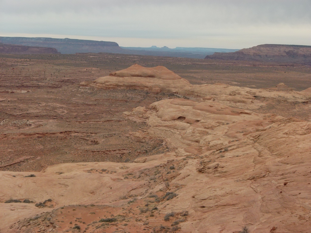
 We eventually came up on a very nice, short side canyon slot. We headed up this and were able to climb out onto the slickrock from there. The slickrock was really nice, and we hiked around on it for a while, but it was interesting to see that it wasn’t nearly as flat as it had appeared from the air or the overlook. After hiking around some, we dropped back into the slot and then back to the main canyon. I did try my new camera out to take some video of the slot. Of course, right after taking the video, I realized the camera was acting up, and some of the buttons weren’t working correctly, so I had to return it after we got home.
But we continued down canyon until we hit a small pool. It wasn’t very long, but it was deep, and it was full of deep mud. Unfortunately, we didn’t feel like dealing with that, so we figured we would turn around. But then Tracy started throwing small rocks into the puddle and she couldn’t stop. But no matter how many rocks she threw, they just sunk into the mud. After about 15 minutes, seeing that she wouldn’t stop trying to build her “bridge,” I started to help by putting out big rocks. By the time we were done, after about 30 minutes, we had a bridge across the pool. I know, we’re weird…but you have to blame Tracy for this one!
 So we continued down canyon. We reached our 3 pm turn-around time just when we reached the old level of Lake Powell. Of course, the lake isn’t that high anymore, so we couldn’t see the lake, but it was the turn-around time, so we started to head back. After a couple of minutes, we came on a side wash that looked like we might have a chance to use it to climb out of the canyon. We hiked up the wash and then onto the slickrock, only to get cliffed up. So we backtracked and tried to go around another dome. This proved better, and we were able to get a good ways out of the canyon on the slickrock. But then we hit the cliff band. The cliff band encircled the canyon at the edge of the desert floor and there didn’t appear to be any way out of it. We hiked to the back of a dead-end, but we didn’t see any way out, so we started hiking back towards the canyon, figuring we were just going to have to backtrack out. But about half-way down the cliff band we found a spot where it looked like it might be possible to climb out. After a bit of scrambling, we were actually able to make it out onto the desert floor. I’m still not sure how we got lucky enough to find the spot, but it was awfully nice to find it. I didn’t have any trouble climbing it, but Tracy got a little spooked at the top, and I had to drag her up…and now she needs new hiking pants.
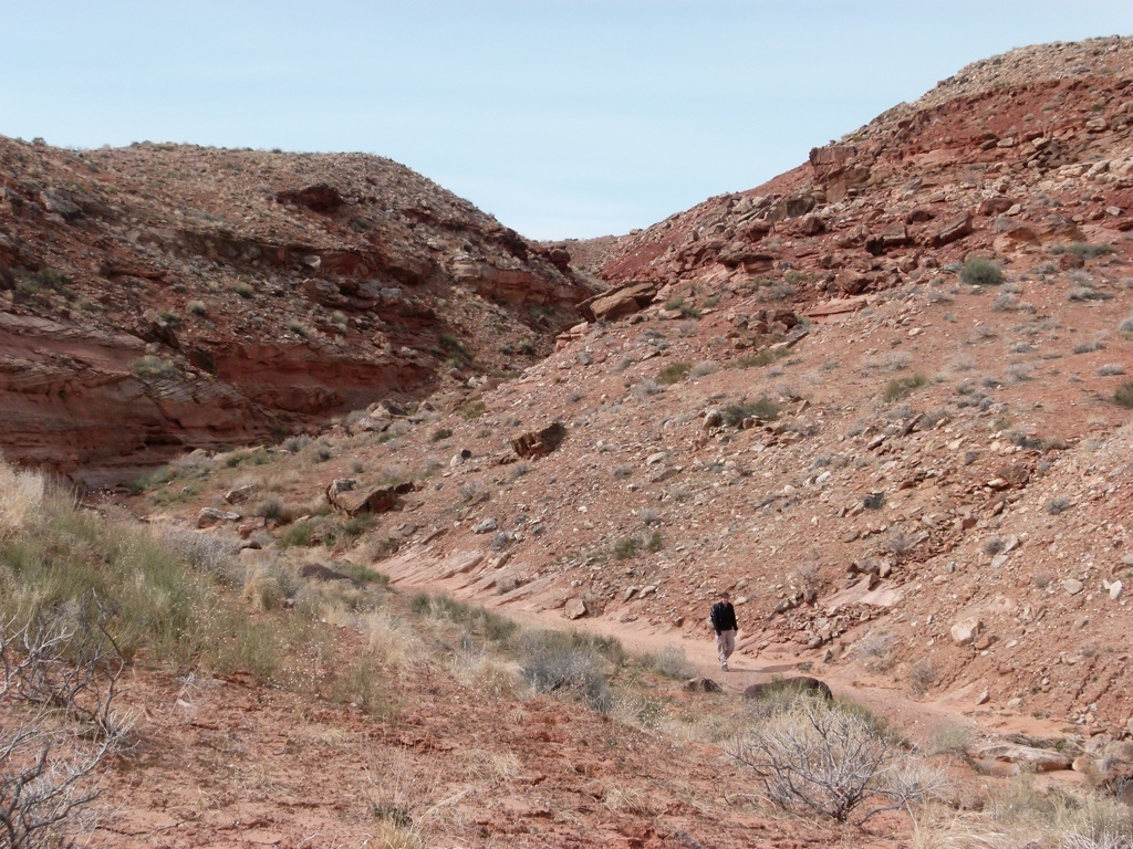
Then we just hiked cross-country about 2.5 miles to get back to the truck. Tracy used her fancy new rare earth magnets to look for meteorites, and she immediately realized that every rock she touched was metallic. We don’t know…we figure we found a lot of iron deposits. But we had an uneventful walk out after finding a 4×4 road that go us back to the truck.
We camped that night at Burr Point, overlooking the Green River, and the next day we did some driving down Poison Spring Canyon and then out into the Blue Hills outside of Hanksville. This was a great weekend, as we got to explore a canyon that we didn’t know anything about, which was a whole lot of fun.


[mapsmarker marker=”31″]