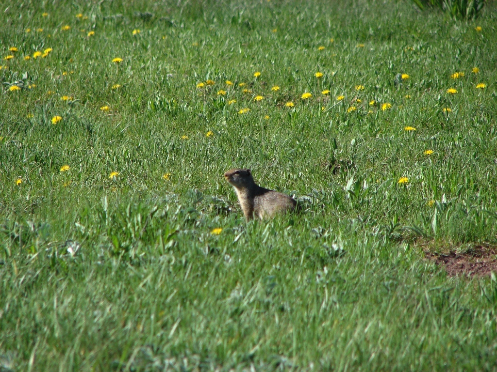
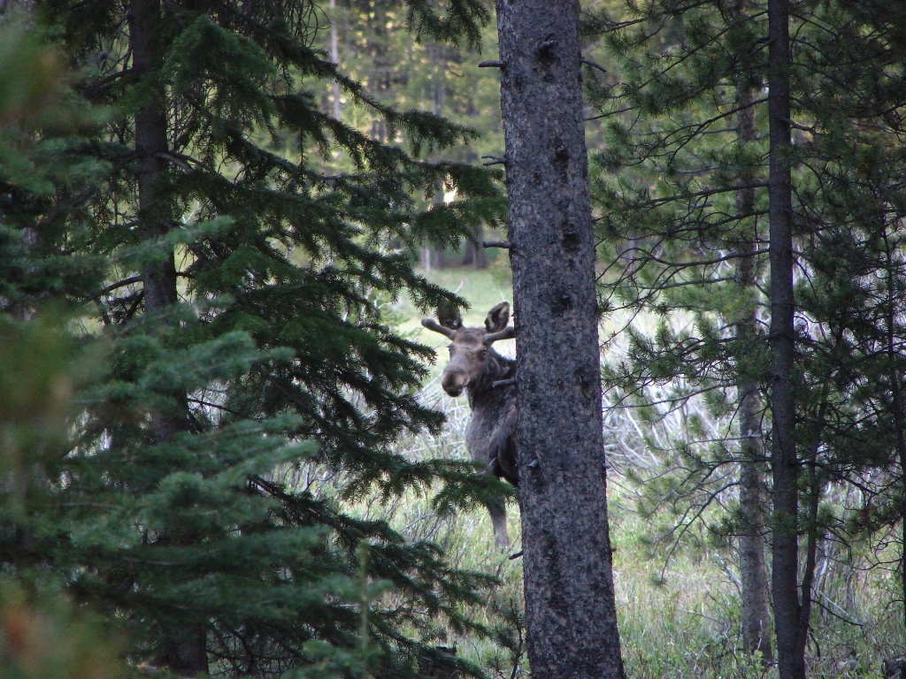
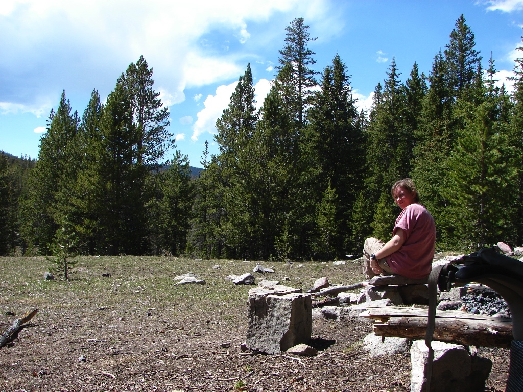
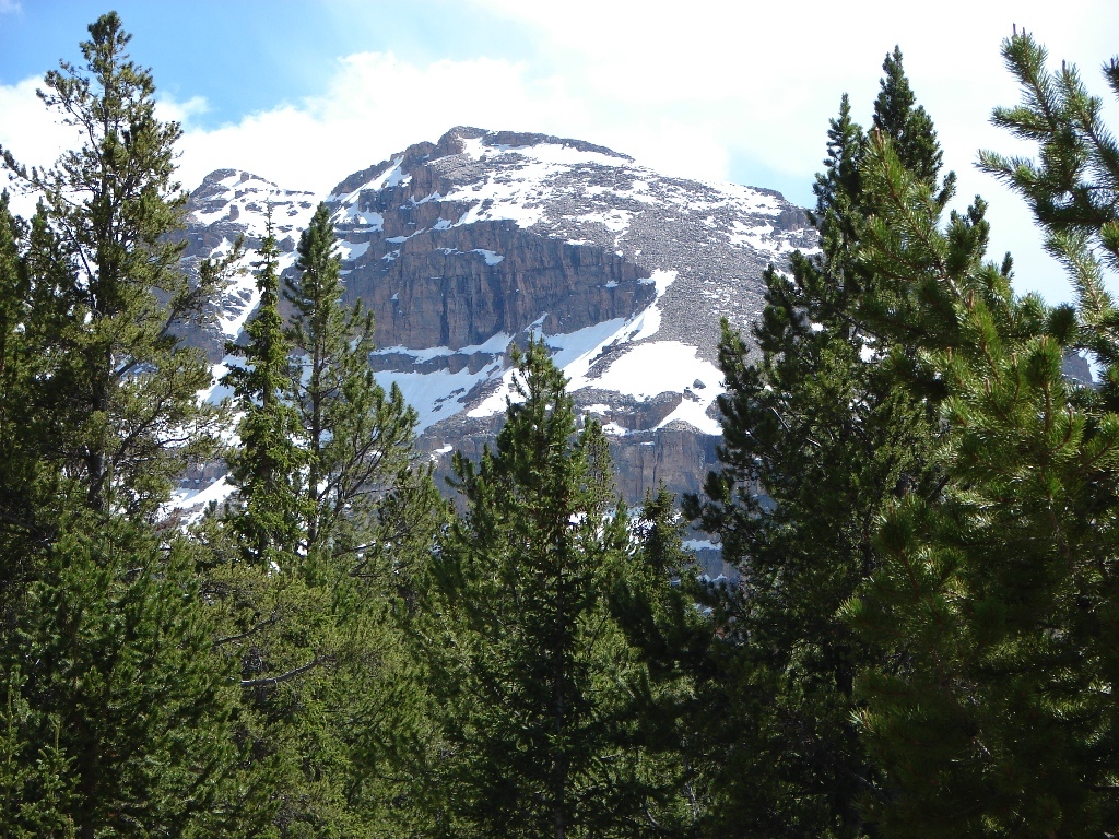
The weekend of 21 Jun 08, Tracy and I headed back to hike the Stillwater Creek Trail in the Uintas. We had checked out the trail the weekend before and we were pretty sure this trail was mostly snow-free. This winter was a bad one and the snow was still pretty bad up high, but this trail stays on the river. This was also the first Uintas trip we did last summer…we’re becoming creatures of habit. When we reached the Amethyst Basin trail, we decided to hike up to Amethyst. After heading up we hit snow around 10,200. We didn’t make it as far as we did last year, but we started to set up camp in a meadow on the edge of the snow line. The weather was looking iffy up high, though, so we decided to head back down to the river and camp there. We tried to hike further down the Stillwater Trail, but Ostler Creek was running too high and we couldn’t safely get across with our packs on. So we found a campsite on the river and enjoyed the weekend.


[mapsmarker marker=”49″]