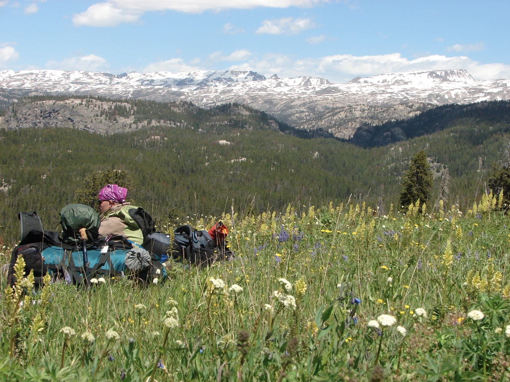
The week of July 10, 2010, Justin and Paul flew out from Tennessee so we could do a week-long backpacking trip on the Beartooth Plateau of the Absaroka-Beartooth Wilderness in Wyoming and Montana. Justin and Paul arrived in Salt Lake on Saturday the 10th and we quickly hit the road to make the drive up to Cooke City, MT. We spent the night at the Super 8, and then got up on Sunday morning and met a car shuttle driver at the Kersey Lake Trailhead after having breakfast at Bearclaw Bob’s.
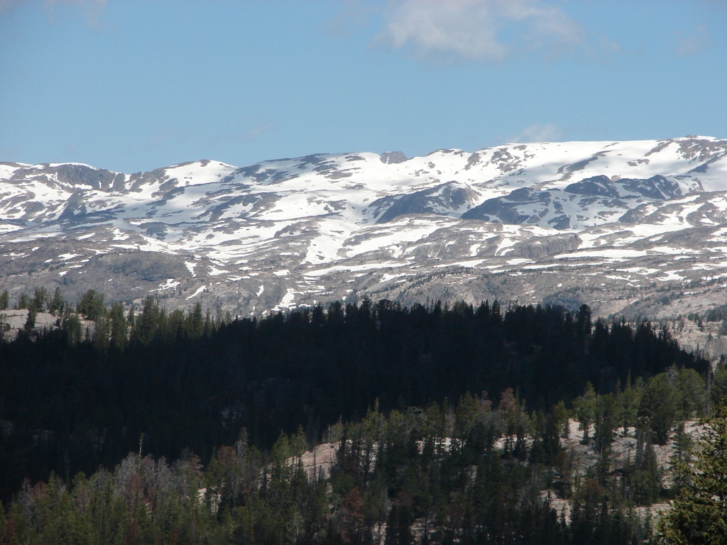
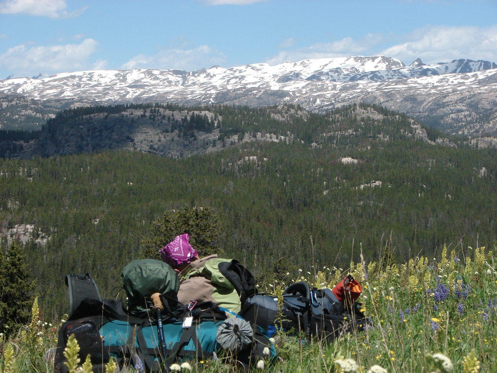
 The plan was to leave my truck at Kersey Lake and then have the shuttle drive us to Island Lake. We would then hike across the plateau back to the truck. We were still debating the plan when the shuttle driver got there. I was a little worried that we were too early in the year and there would be too much snow up high. Our highest point on the planned route was about 11,400 feet, but we were mostly going to be around 10,500. I had been up to nearly 11,000 feet on the Beartooth Highway the week before, though, and the snow didn’t look all that bad. I had decided months earlier to make this trip in mid-July, because the winter snow had been considerably less than normal, and I was worried that forest fires would be a problem later in the summer. Unfortunately, spring never sprung. Spring had been much cooler than usual, and even though the winter snow pack was fairly low, what was on the ground had not had a chance to melt.
The shuttle driver, however, felt like the snow wouldn’t be much of a problem. He said that the snow would make boulder fields easier, and if the snow got too deep, we could always bail out to the lower elevation trail and make our way back to the car that way. So we decided to stick with the plan and shuttle up to Island Lake.
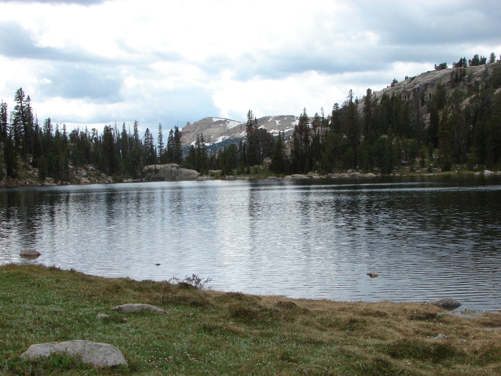
 We hit the trail late Sunday morning and immediately had to make a river crossing of the creek coming out of Island Lake. From there, we just took the trail up to where we planned to leave the trail to head to Becker Lake. When we got to where we were going to leave the trail, there was a small trail heading in the direction of Becker Lake…so, I figured there had been enough traffic to develop an unofficial trail. The weather was starting to drizzle and the temperature had fallen. We had another creek crossing south of Becker Lake, then we hiked up and around Becker.
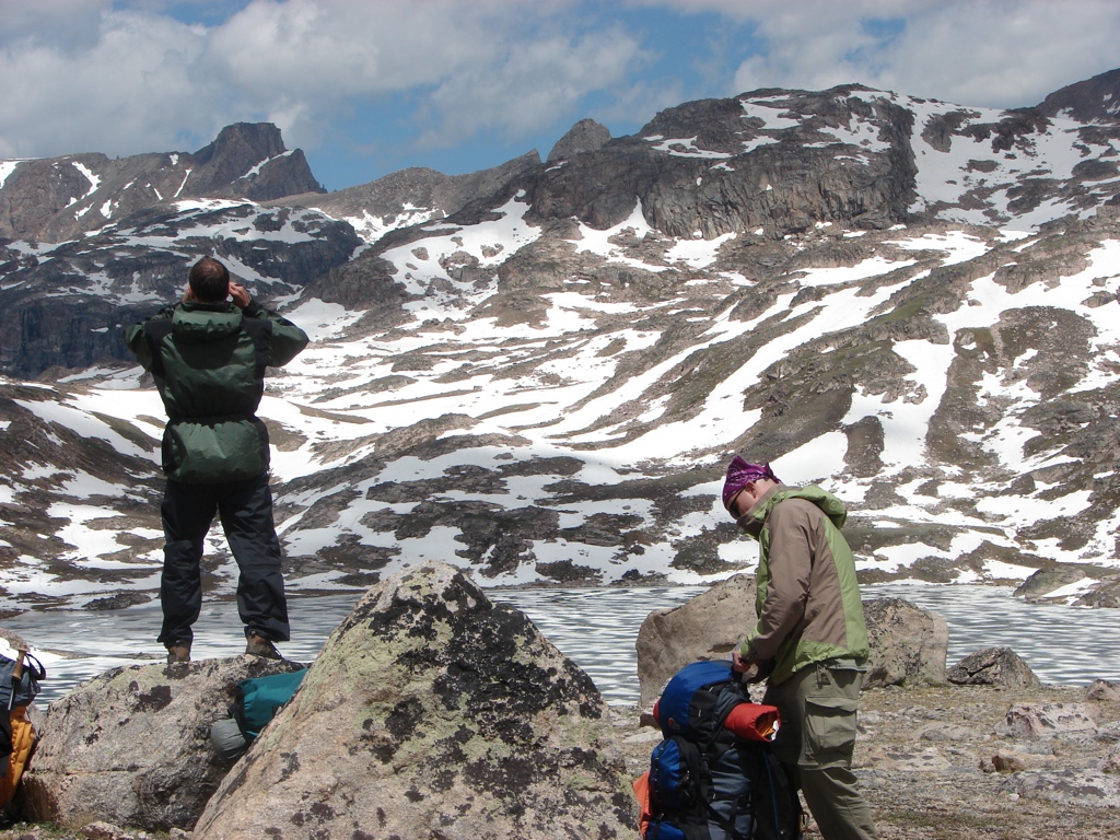
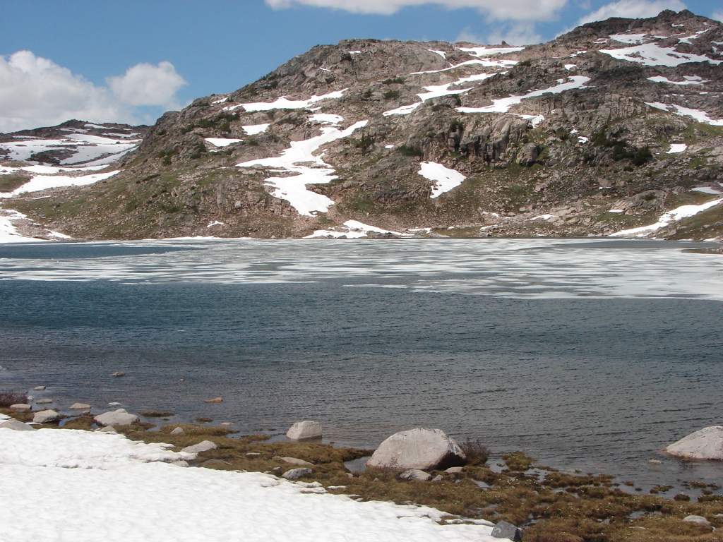
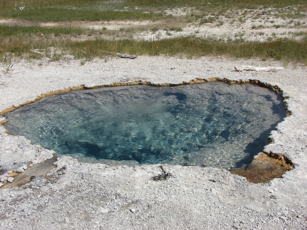
The weather was looking questionable, so we decided to stay below treeline for the night and to cut the day short. We set up camp at the very north end of Becker just below treeline. We then set out to dayhike up to Albino Lake to see what the snow looked like. On the way, just as we crossed the state line into Montana, a fly fisherman pretty much walked out of the brush and welcomed us to Montana. We talked to him for a few minutes and found out that he had just accepted a job teaching at the University of Tennessee in Knoxville…talk about a small world. His kids would be going to the same school as Paul’s kid, and he was on terminal leave from the Air Force. It was a weird encounter in the middle of the wilderness of Montana. We continued up to Albino, where there was a snow, but it wasn’t too bad. We then headed back to camp for the night.
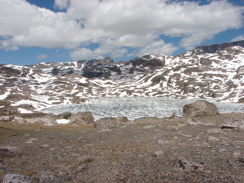
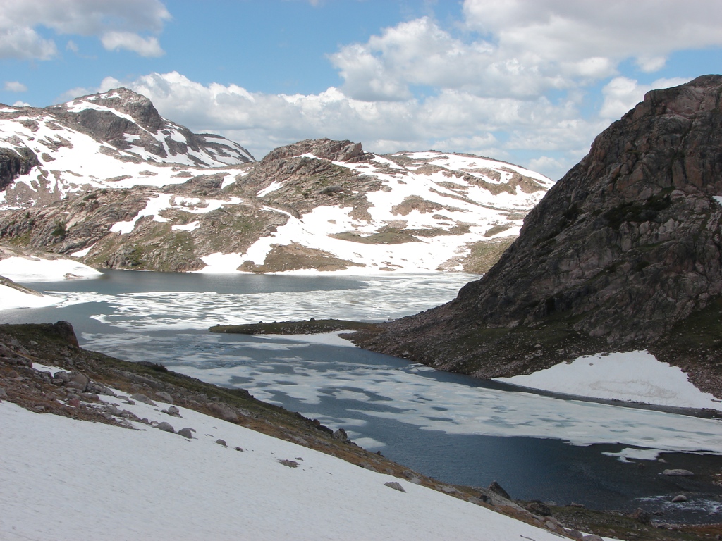
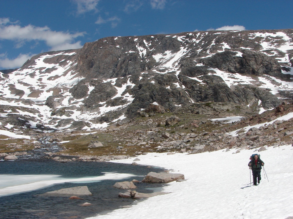
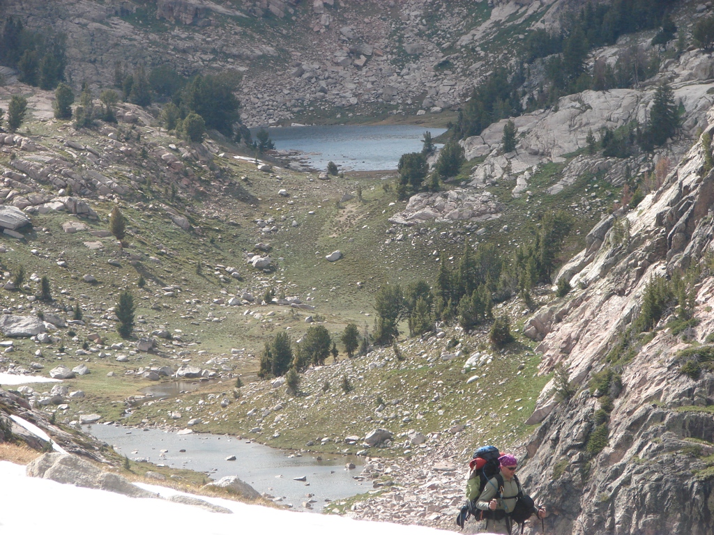
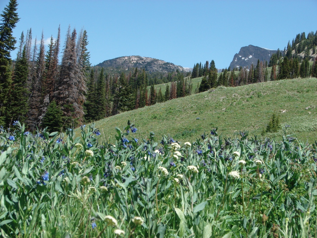
We got up on Monday morning and headed back up to Albino Lake. We again talked to our new Knoxville friend at Albino, and then we headed around the west side of Albino. It didn’t look like there was a good way around the lake down low, so we headed up a little above the lake. This ran us into more snow, which significantly slowed us down. The snow was patchy, but it was 100 yard wide patches. It was firm in the middle of the patches, but it was soft and 3-5 feet deep on the edges. We made it to the saddle between Albino and Jasper around noon, and we stopped for lunch. The view was great and the wind was howling. The view down into Jasper Lake was really nice, but the snow in the basin looked considerably worse.
 We were starting to get worried that we wouldn’t have enough time to make it the 30 miles back to the car in the three more days we had to spend out there. After talking about it, we decided to bail out down to the trail near the Beartooth Lake trail intersection, and to take this trail back to the car. This would be at a lower elevation, below tree line, so snow would not be a problem, and it would give us a chance to hike back to the car. It would be a shorter route, so we figured we could make it back to the car by late Wednesday night, instead of coming out on Friday morning on the original route.
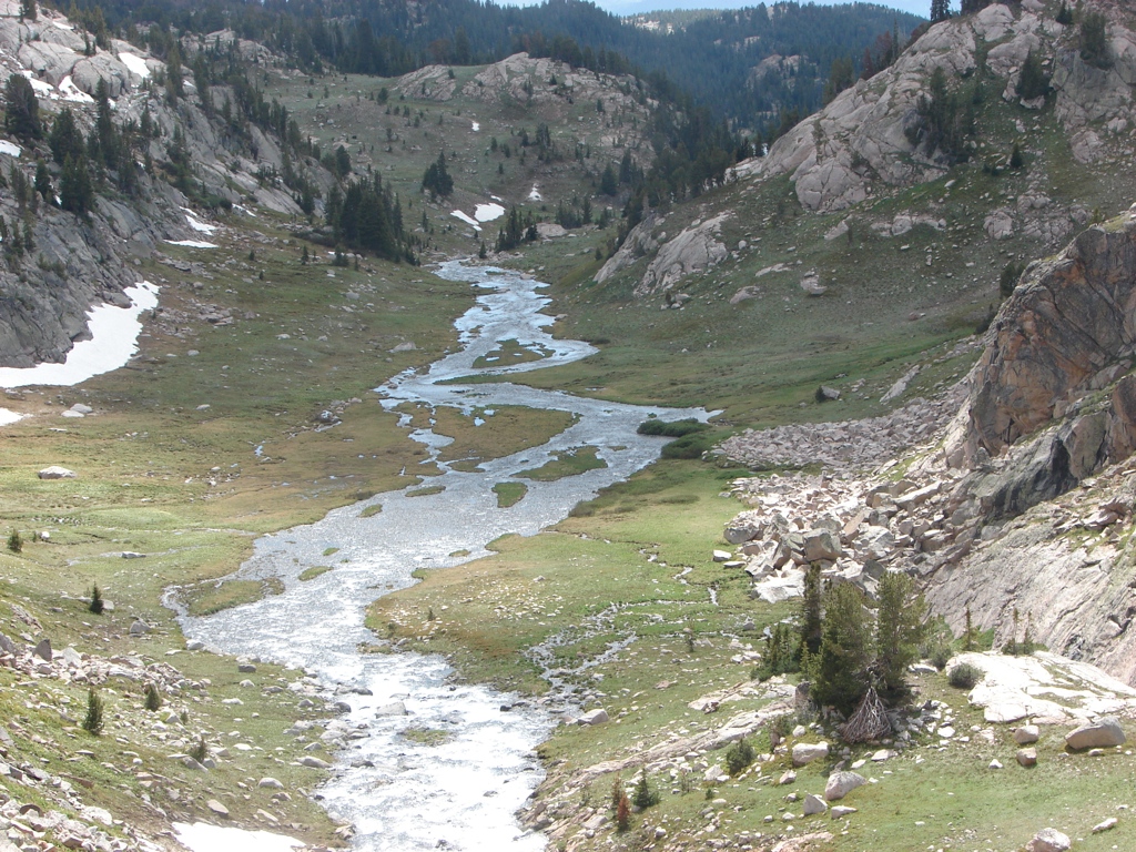
So we headed out of Jasper Lake by heading toward Golden Lake. At Golden Lake, we had some good, epic adventures. First, we had some big snowfields, including one field that was about 300 yards long, and ran steeply down into Golden Lake. We got across that snowfield without much problem, then we hit a massive boulder field in the canyon running out of Golden. The boulder field was a huge obstacle that took us over an hour to negotiate. We first tried going through the boulders, but they were the size of my truck, and we continually found ourselves unable to climb off or around the boulders. We ended up backtracking to negotiate the canyon at the water level. This involved lots of climbing around boulders, traversing snowfields, and hopping around water, but we eventually made it out. We then climbed up to the plateau west of Lonesome Lake, and hiked most of the way back to the trail. We stopped about a mile before the trail and set up camp.
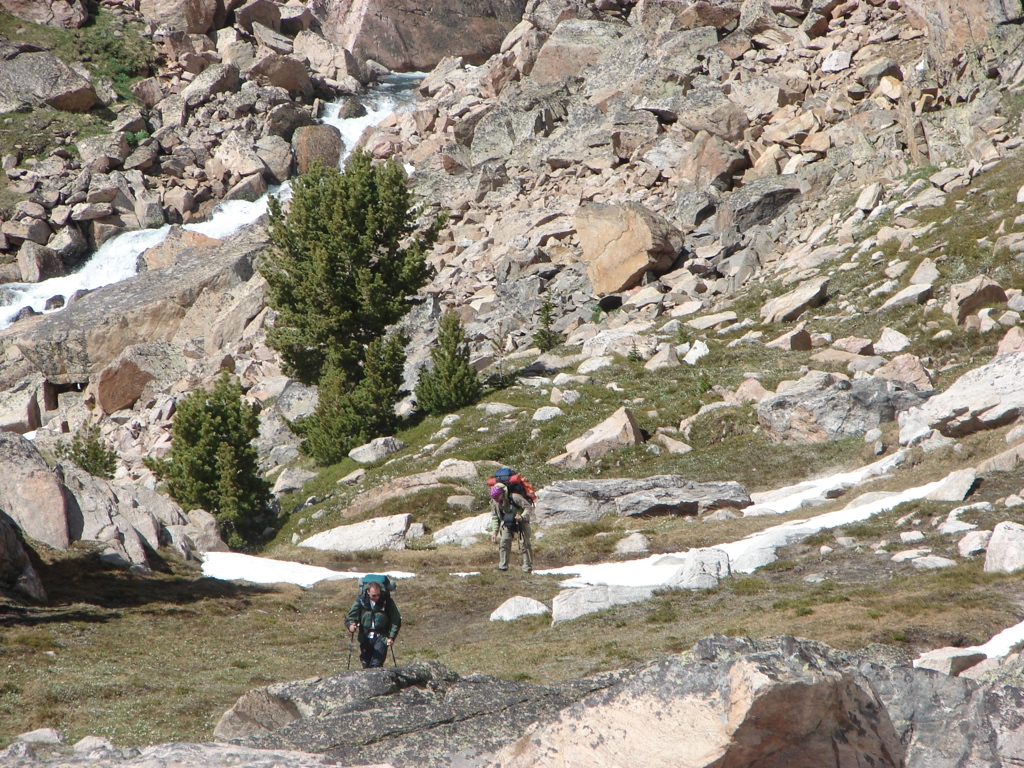
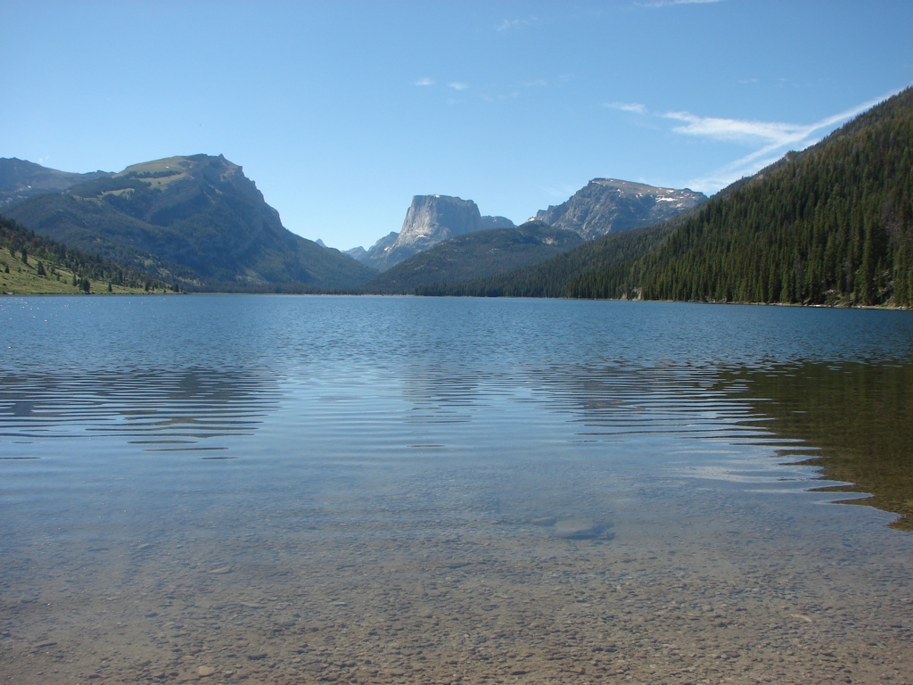
 We got up on Tuesday and hit the trail near T Lake. We headed south through the meadows towards Clay Butte, and then cut north up towards Granite Lake, which involved lots of steep descending. We made our way to Granite Lake, and then ran into a massive problem at Lake Creek. On the west end of Granite Lake, there was a river crossing that didn’t look like much on the map. When we got there, though, the water was freezing, it was at least chest deep, and it was rushing fast. The crossing was about 30 yards across, and we could not figure out a way to safely cross it with all of our gear. We agonized over it, and finally decided the safest thing to do would be to bail out to another trailhead and try to hitchhike our way back to the car.
This decision sucked for lots of reasons. First off, we didn’t want to bail out on the trip. Second, we didn’t want to backtrack up the long, steep descents we had just done. And third, it just flat out ticked us off!
 But we really couldn’t think of another solution. So I found a trail on the east side of Granite that would lead us back to the road, and we wouldn’t have to make all those ascents. When we got back to the east side of the lake, though, the trail wasn’t there. We looked around for awhile, but simply couldn’t find it. So we started back up the ridge hoping it was a little ways up. It wasn’t. We eventually climbed back up onto the plateau, arriving back at the Clay Butte intersection six hours after we had arrived there at lunch earlier in the day. We decided to head out to the Clay Butte trailhead to try to find a way back. The Clay Butte trailhead is pretty remote, but just ten minutes after we arrived, a couple drove by in a pickup truck. They were super nice, and offered to drive us back to the Kersey Lake trailhead. We got to the trailhead about 8 pm, and then got a hotel room in Cooke City for the night.
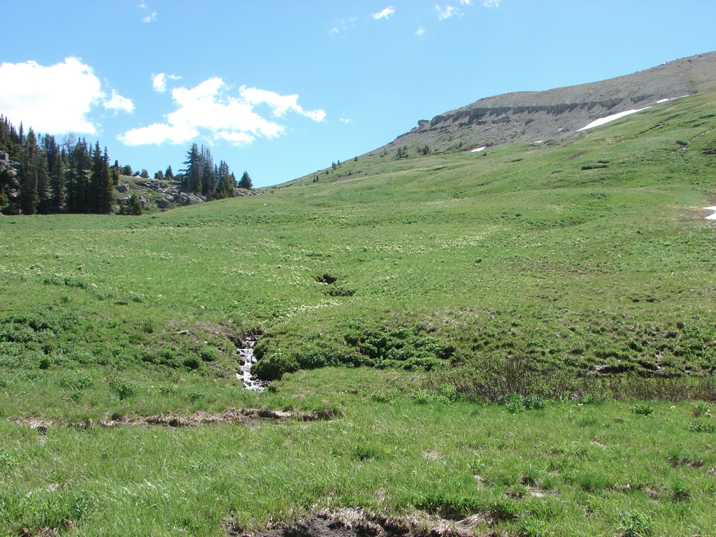
On Wednesday we hiked on the Specimen Ridge Trail and the Mary Mountain Trail in Yellowstone. We camped outside of West Yellowstone on Wednesday night. On Thursday Justin and Paul hiked out to Imperial Geyser, and I hiked the west side of the Mary Mountain Trail. Afterwards, we headed down to the Tetons and just drove around the Tetons some. We then drove down to the Winds and camped on the road to Green River Lakes.
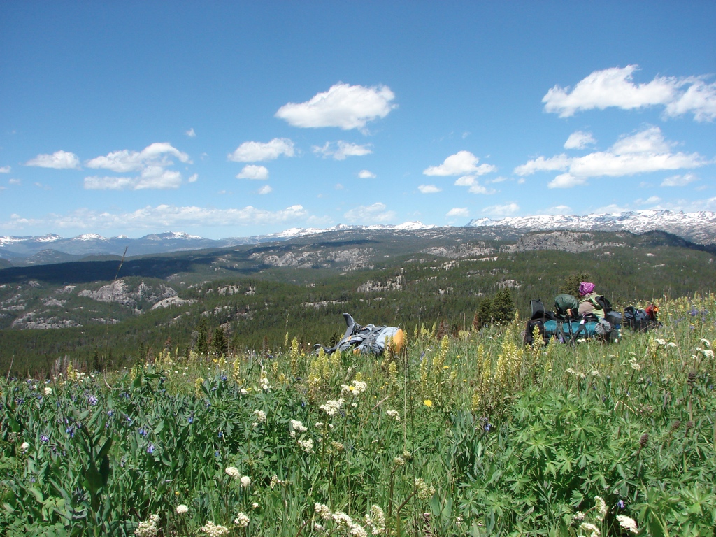
 On Friday we got up to overnight at Green River Lakes, but on the drive out there, we saw signs saying the area was closed because of bear activity. They were allowing backcountry camping as long as you were at least five miles from the trailhead, but we weren’t sure we felt like dealing with that. We decided to drive on out there, though, and decide when we got there. On the way, a black bear ran across the road in front of us, which was the first bear I had ever seen outside of a National Park. Once we got to the trailhead, we were the only ones there, and the mosquitoes were vicious. We walked around for a bit, but decided that the bears were one thing, but the bears AND mosquitoes were just too much. So we headed back to Pinedale, and then we drove out to the Big Sandy Trailhead, because I just wanted to check out the trailhead. We hiked a little along the trail, and then we just headed back to Salt Lake.
Overall, this was a great trip. It was a little disappointing that we didn’t get to traverse the Beartooth Plateau. I’m not sure if we chickened out too early, or not. I don’t know that we would have had enough time to do the traverse as originally planned, but I think we could have stayed out longer and then hitched hiked out a couple of days later. Frankly, it never even occurred to me at the time that we didn’t have to leave as early as we did. I think that once we couldn’t make the river crossing, we just got focused on getting back to the car. In hindsight, I wish we had left the car at Island Lake instead of Kersey Lake. But we made the decision based on all the information we had at the time, and the trip seemed doable. It’s also possible that we could have made the entire traverse in the time we had. We were just moving so slowly…sometimes little more than a mile an hour because of the snow…that it would have been hard to finish the trip if we had run into more snow. I certainly think we couldn’t have finished the whole trip, but I feel like we didn’t test the snow as much as we could have. But it was still a great trip…and now I still get to go back to hike more of the plateau!


[mapsmarker marker=”79″]